Old Maps of McDonald, North Carolina
Explore 11 old maps of McDonald, spanning from 1953 to today. These high-resolution historic maps reveal how streets, neighborhoods, landmarks, and natural features evolved over time — perfect for genealogy, metal detecting, research, and local history exploration.
What you can do with these maps:
- See how McDonald changed over time: Compare historical maps to modern-day views to trace roads, homesites, rail lines & more.
- View detailed metadata: Each map includes creators, publishers, year, scale, and archive source.
- Overlay maps with satellite & LiDAR: Visualize the past alongside modern tools to explore terrain & human change.
- Trusted historical sources: Maps sourced from the USGS, Library of Congress, and other archives.
- Access maps your way: View online, download high-res files, or order prints for personal or research use.
Start exploring old maps of McDonald to uncover forgotten places, hidden landmarks, and the deep history beneath your feet.
McDonald, NC maps
(11)- 1953 Map of Florence, 1964 Print
 1953 Florence1964 Print · USGSThe Carolina borderlands in the mid-fifties were a landscape of vast river swamps and rising rail towns. Trace the legacy of the Seaboard Air Line through Florence or explore the wetlands surrounding Lake Waccamaw and the Green Swamp.3 unique versions available
 - 1954 Map of Florence
 1954 Florence1954 Print · USGSThe Carolinas borderlands come alive in the early fifties, showing the vital rail-and-river networks of the coastal plain. Genealogists can trace family footprints across the Green Swamp or through settlements like Red Springs, Chadbourn, and McColl.
 - 1972 Map of Mc Donald, 1976 Print
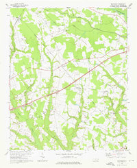 1972 Mc Donald1976 Print · USGSRobeson County is shown here in the early 1970s, a landscape shaped by the Lumber River and its vast swamp systems. Researchers can locate many community landmarks, from Green Grove Sch to historic pulpits like Asbury Ch and Aaron Ch.
 - 1976 Map of Mc Donald, 1978 Print
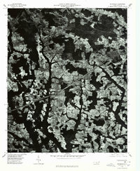 1976 Mc Donald1978 Print · USGSRobeson County is shown during the mid-seventies in this detailed aerial study of its rural landscape. Genealogists and local historians can trace the clear boundaries of family farms and the early footprints of Mc Donald, Raynham, and Elrod.
 - 1981 Map of Mc Donald, 1985 Print
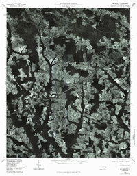 1981 Mc Donald1985 Print · USGSThe rural Robeson County lowlands are captured here in the early eighties as a complex patchwork of farmland and wetlands. Researchers can trace the layout of Mc Donald, Elrod, and the drainage patterns of Ashpole Swamp and the Lumber River.
 - 1983 Map of Laurinburg, 1984 Print
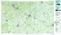 1983 Laurinburg1984 Print · USGSThe Carolina borderlands come into focus in the early 1980s, showcasing a landscape defined by the Sandhills Game Land and major river systems. Genealogists and rail historians can trace the paths of the Seaboard Coast Line Railroad through Hamlet or locate St Andrews College and Cheraw State Park.2 unique versions available
 - 2010 Map of McDonald, 2010 Print
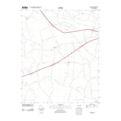 2010 McDonald2010 Print · USGSRobeson County is shown here in the first decade of the millennium, characterized by a complex network of wetlands and rural communities. Genealogists and local historians can trace family-named routes and local landmarks like Addison Tram Rd, McDonald, and Benson Chapel Rd.
 - 2013 Map of McDonald, 2013 Print
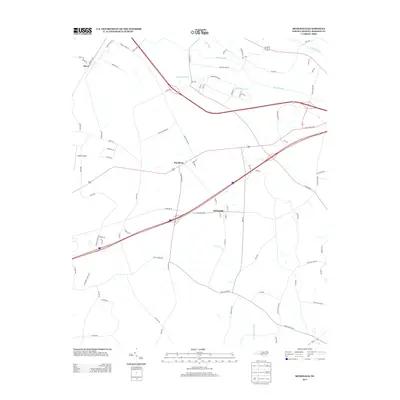 2013 McDonald2013 Print · USGSRobeson County enters the second decade of the millennium with its traditional swamp-and-field landscape still intact around McDonald and Raynham. Genealogists and local historians can trace the road network through Elrod, find family-named routes, and locate landmarks like Adams Airport.
 - 2016 Map of McDonald, 2016 Print
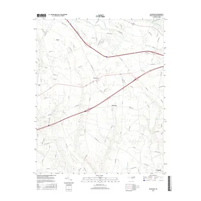 2016 McDonald2016 Print · USGSRobeson County is shown in detail during the mid-2010s, revealing a landscape deeply intertwined with its extensive swamp systems. Genealogists and historians can trace family locations near McDonald, Raynham, and Elrod, or follow historic routes like Marion Stage Rd and Addison Tram Rd.
 - 2019 Map of McDonald, 2019 Print
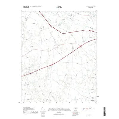 2019 McDonald2019 Print · USGSRobeson County is shown here in the late 2010s, characterized by the convergence of agricultural crossroads and vast swamp networks. Genealogists and local historians can trace family-named routes and small settlements like Elrod, McDonald, and the banks of Ashpole Swamp.
 - 2022 Map of McDonald, 2022 Print
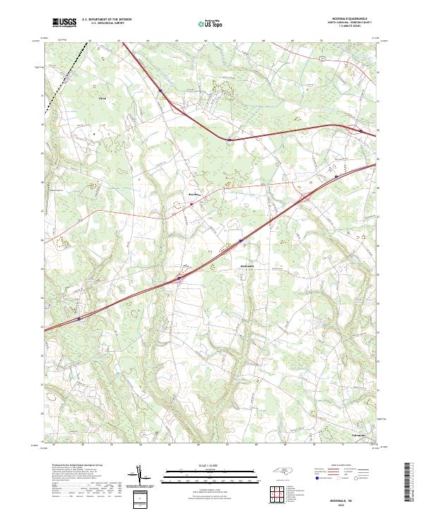 2022 McDonald2022 Print · USGSRobeson County is captured in the early 2020s, showing a landscape defined by its intricate drainage and rural settlements. Researchers can trace family-named lands and routes near McDonald, Elrod, and the meandering waters of Ashpole Swamp.
End of results
Showing maps 1-11 of 11
Top cities near McDonald
- Lumberton historical maps
- Dillon historical maps
- Fairmont historical maps
- Pembroke historical maps
- Maxton historical maps
- Rowland historical maps
See more
Frequently asked questions
- What are the different types of historical maps available for McDonald?
- What is the oldest map of McDonald?
- Where can I purchase historical maps of McDonald for my home or office?
- Where can I download high-res historical maps of McDonald?
- Are there historical topographic maps available for McDonald?
- Is there historical aerial imagery available for McDonald?
- Where are historical maps of McDonald sourced from?