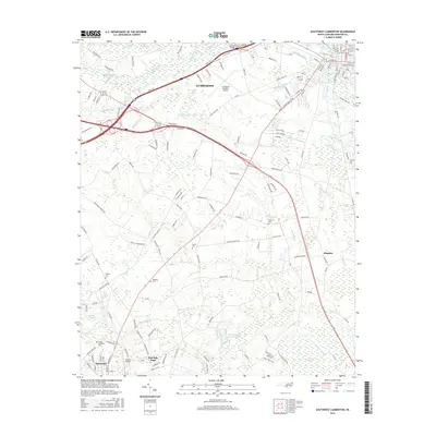
2016 Map of Southwest Lumberton
USGS Topo · Published 2016About this map
The Lumber River corridor southwest of Lumberton defines a landscape where agricultural traditions meet modern regional infrastructure. This survey captures the transition between the established street grid of Fairmont and the expansive wetlands that crisscross the county, including Bear Swamp and Back Swamp. For researchers, the map provides precise locations for several family and community burial grounds, such as Jenkins Cem and Floyd Memorial Cem, which remain essential for genealogical study in Robeson County.
Find a feature on this map
161 named features on this map. Tap any name to fly to it.
Don’t see what you’re looking for? This feature index may not catch every label — zoom into the map to look around manually.
Map Details
Editions of this 2016 Southwest Lumberton Map
This is the sole edition of this map. No revisions or reprints were ever made.
Other maps of this area

1943 · Pages Mill
USGS Topo · 1:62,500

1953 · Chadbourn
USGS Topo · 1:62,500

1953 · Florence
USGS Topo · 1:250,000

1954 · Florence
USGS Topo · 1:250,000

1957 · Bladenboro
USGS Topo · 1:62,500

1962 · Fairmont
USGS Topo · 1:24,000

1962 · Gaddysville
USGS Topo · 1:24,000

1962 · Fair Bluff
USGS Topo · 1:62,500

1972 · Northwest Lumberton
USGS Topo · 1:24,000

1972 · Southwest Lumberton
USGS Topo · 1:24,000