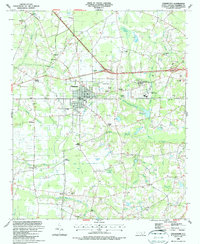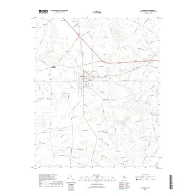
1953 Map of Chadbourn
USGS Topo · Published 1955About this map
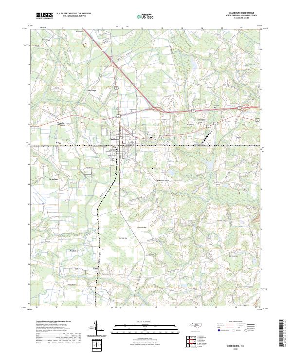
Chadbourn and Cerro Gordo serve as central hubs in this mid-century portrait of southeastern North Carolina, where the Atlantic Coast Line railroad dictates the rhythm of commerce and travel. The landscape is defined by an intricate network of Carolina bays—elliptical depressions such as Slender Bay, Rough Horn Bay, and Hell Cat Bay—that punctuate the low-lying terrain between the Lumber River and Big Swamp. These geological features, combined with the numerous landings like Aces Landing and Upper Buck Landing, illustrate the historical reliance on both water and rail for moving timber and agricultural goods.
Find a feature on this map
117 named features on this map. Tap any name to fly to it.
Don’t see what you’re looking for? This feature index may not catch every label — zoom into the map to look around manually.
Map Details
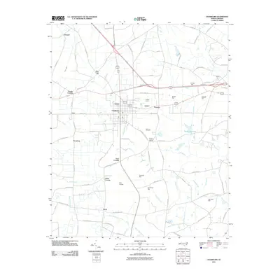
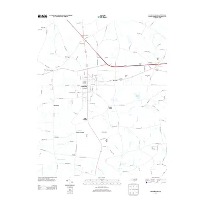
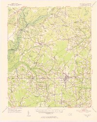
Editions of this 1953 Chadbourn Map
2 editions found
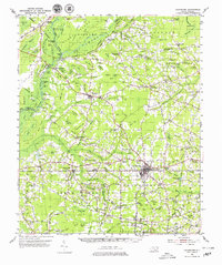
Historical Maps of Chadbourn Through Time
7 maps found