
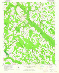
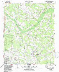
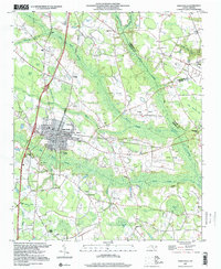
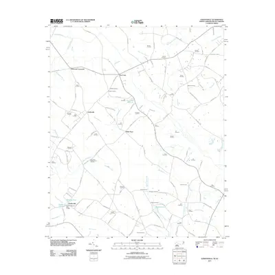
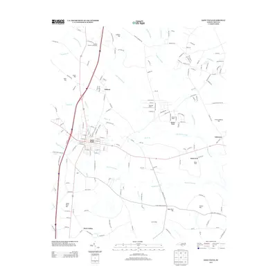
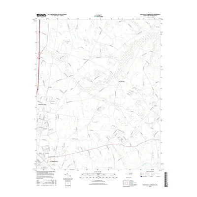
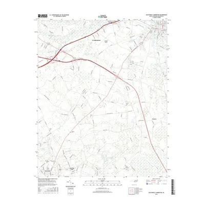
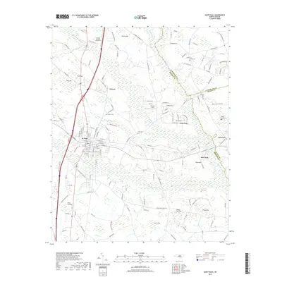
1943 Map of Pages Mill
USGS Topo · Published 1943About this map
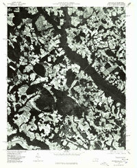
The Lumber River snakes through the dense swamp systems of the North Carolina and South Carolina borderlands in this 1943 War Department survey. The landscape is defined by its blackwater ecology, where vast tracts like Ashpole Swamp, Bear Swamp, and Hog Swamp separate small farming communities and crossroads. The commercial pulse of the region follows the Atlantic Coast Line railroad, connecting towns such as Proctorville and Fair Bluff. Local life during this era centered on small rural institutions, evidenced by the combination White Pond Ch & Sch and Jehovah Ch & Sch. The presence of several millponds, including Pages Mill Pond and Spiveys Mill Pond, indicates a continuing reliance on water-powered industry even as the modern road network began to take shape with routes like the Old Stage Road to Fairmont.
Find a feature on this map
75 named features on this map. Tap any name to fly to it.
Don’t see what you’re looking for? This feature index may not catch every label — zoom into the map to look around manually.
Map Details
Editions of this 1943 Pages Mill Map
This is the sole edition of this map. No revisions or reprints were ever made.
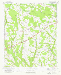
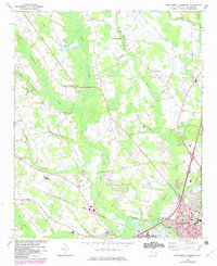
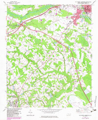
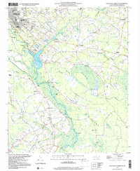
Historical Maps of Fairmont Through Time
47 maps found
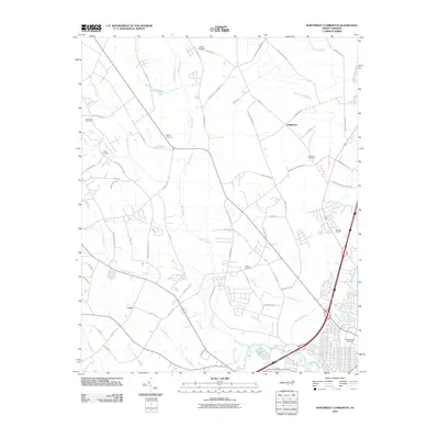
1943 Pages Mill
Robeson County, NC
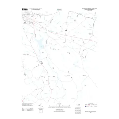
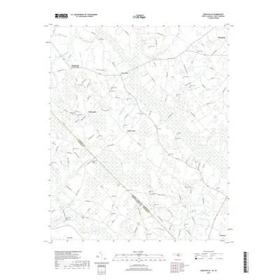
1962 Gaddysville
Robeson County, NC
1972 Mc Donald
Robeson County, NC
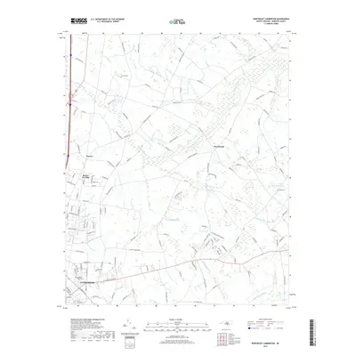
1972 Northwest Lumberton
Robeson County, NC
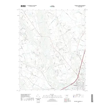
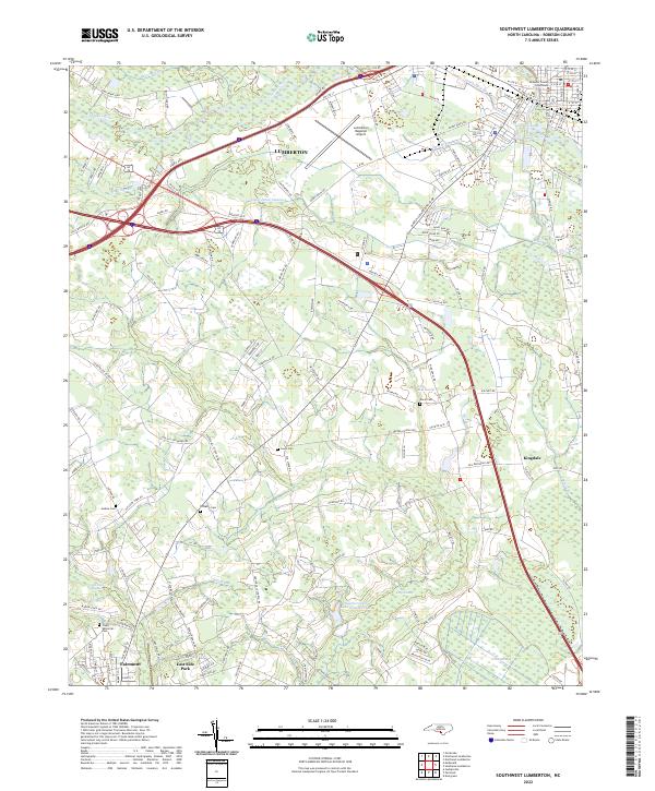
1972 Southwest Lumberton
Robeson County, NC
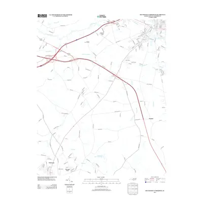
1976 Gaddysville
Robeson County, NC

1976 Mc Donald
Robeson County, NC
1976 Northwest Lumberton
Robeson County, NC
1976 Southwest Lumberton
Robeson County, NC
1981 Mc Donald
Robeson County, NC
1986 Northeast Lumberton
Robeson County, NC
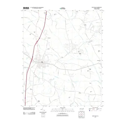
1986 Saint Pauls
Robeson County, NC
1986 Southeast Lumberton
Robeson County, NC
1997 Northwest Lumberton
Robeson County, NC
1997 Saint Pauls
Robeson County, NC
1997 Southeast Lumberton
Robeson County, NC
1997 Southwest Lumberton
Robeson County, NC
2010 Northeast Lumberton
Robeson County, NC
2010 Northwest Lumberton
Robeson County, NC
2010 Saint Pauls
Robeson County, NC
2010 Southeast Lumberton
Robeson County, NC
2010 Southwest Lumberton
Robeson County, NC
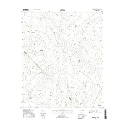
2011 Gaddysville
Robeson County, NC
2013 Gaddysville
Robeson County, NC
2013 Northeast Lumberton
Robeson County, NC
2013 Northwest Lumberton
Robeson County, NC
2013 Saint Pauls
Robeson County, NC
2013 Southeast Lumberton
Robeson County, NC
2013 Southwest Lumberton
Robeson County, NC
2016 Gaddysville
Robeson County, NC
2016 Northeast Lumberton
Robeson County, NC
2016 Northwest Lumberton
Robeson County, NC
2016 Saint Pauls
Robeson County, NC
2016 Southeast Lumberton
Robeson County, NC
2016 Southwest Lumberton
Robeson County, NC
2019 Gaddysville
Robeson County, NC
2019 Northeast Lumberton
Robeson County, NC
2019 Northwest Lumberton
Robeson County, NC
2019 Saint Pauls
Robeson County, NC
2019 Southeast Lumberton
Robeson County, NC
2019 Southwest Lumberton
Robeson County, NC
2022 Gaddysville
Robeson County, NC
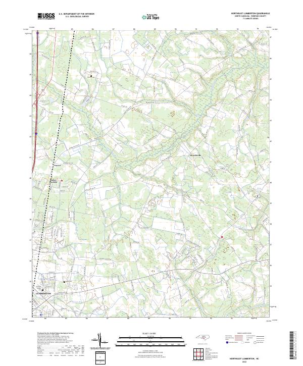
2022 Northeast Lumberton
Robeson County, NC
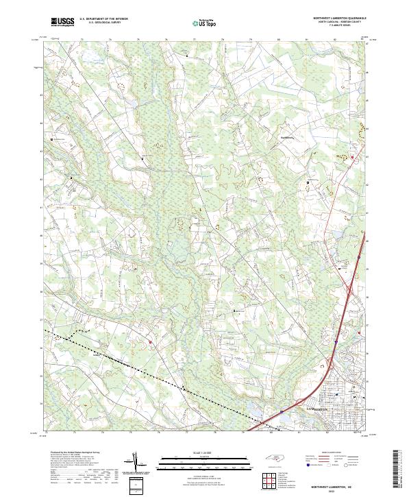
2022 Northwest Lumberton
Robeson County, NC
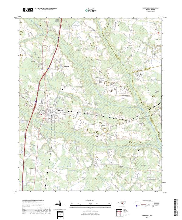
2022 Saint Pauls
Robeson County, NC
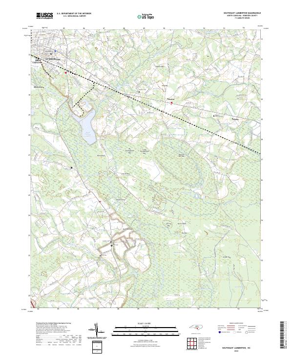
2022 Southeast Lumberton
Robeson County, NC
2022 Southwest Lumberton
Robeson County, NC