
1946 Map of Mullins
USGS Topo · Published 1956About this map
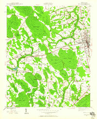
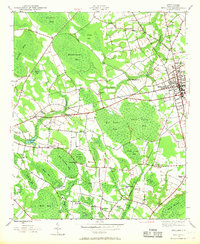
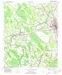
Mullins serves as the central hub for this portion of Marion County, where the intersection of the Atlantic Coast Line and Seaboard Air Line railroads defines the local economy and geography. The surrounding landscape is characterized by a series of elliptical depressions known as Carolina Bays, including Maidendown Bay, Big Sister Bay, and Wolf Trap Bay. These features, often filled with swampy vegetation or shallow water, dictate the placement of roads and farms, creating a unique pattern of land use that skirts the edges of the wetlands.
Find a feature on this map
47 named features on this map. Tap any name to fly to it.
Don’t see what you’re looking for? This feature index may not catch every label — zoom into the map to look around manually.
Map Details
Editions of this 1946 Mullins Map
4 editions found
Other maps of this area

1943 · Pages Mill
USGS Topo · 1:62,500

1947 · Friendship
USGS Topo · 1:24,000

1947 · Marion
USGS Topo · 1:24,000

1947 · Centenary
USGS Topo · 1:24,000

1947 · Mullins
USGS Topo · 1:24,000

1948 · Galivants Ferry
USGS Topo · 1:24,000

1948 · Nichols
USGS Topo · 1:24,000

1950 · Galivants Ferry
USGS Topo · 1:24,000

1950 · Nichols
USGS Topo · 1:24,000

1953 · Florence
USGS Topo · 1:250,000