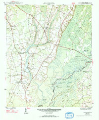
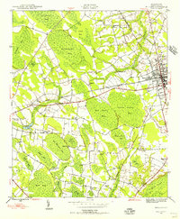
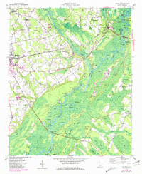
1947 Map of Centenary
USGS Topo · Published 1947About this map
The Little Pee Dee River forms a complex boundary between Marion and Horry Counties, defining a landscape of cypress swamps and sandy ridges. In this 1946 survey, the Seaboard Air Line railroad anchors the local economy, connecting the settlements of Centenary and Rains. The presence of Smith Mill Pond and Leggett Mill Pond suggests a history of localized water-powered industry, while family-named landmarks like Palmer Cem and schools such as Beauty Spot Sch point to established rural communities. To the east, the river breaks into a maze of oxbows and islands, including Knife Island and Little Pee Dee Islands, with remote access points like Davis Landing and Cartwheel Landing serving as vital links to the water for residents of the surrounding timber and farm lands.
Find a feature on this map
56 named features on this map. Tap any name to fly to it.
Don’t see what you’re looking for? This feature index may not catch every label — zoom into the map to look around manually.
Map Details
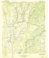
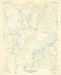
Editions of this 1947 Centenary Map
3 editions found
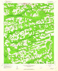
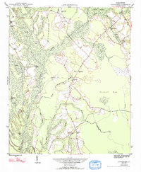
Other maps of this area
1943 · Horry
USGS Topo · 1:24,000

1946 · Johnsonville
USGS Topo · 1:62,500
1946 · Mullins
USGS Topo · 1:24,000
1947 · Friendship
USGS Topo · 1:24,000
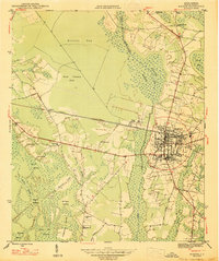
1947 · Marion
USGS Topo · 1:24,000
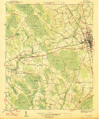
1947 · Mullins
USGS Topo · 1:24,000

1948 · Galivants Ferry
USGS Topo · 1:24,000
1948 · Nichols
USGS Topo · 1:24,000

1949 · Georgetown
USGS Topo · 1:250,000
1950 · Galivants Ferry
USGS Topo · 1:24,000