
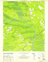
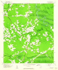
1946 Map of Johnsonville
USGS Topo · Published 1946About this map
The Pee Dee River and its intricate network of swamps and lakes dominate this mid-century survey of the South Carolina Lowcountry. River-based commerce and connectivity are evident through numerous historic points such as Peters Ferry Landing, Bostick Landing, and the Godfrey Ferry Bridge. The landscape is a mosaic of wetlands like Ghinners Swamp and Bear Swamp, with settlements and small crossroads communities such as Johnsonville, Hemingway, and Gresham following the higher ground and the Seaboard Air Line rail corridor.
Find a feature on this map
152 named features on this map. Tap any name to fly to it.
Don’t see what you’re looking for? This feature index may not catch every label — zoom into the map to look around manually.
Map Details
Editions of this 1946 Johnsonville Map
This is the sole edition of this map. No revisions or reprints were ever made.
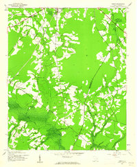
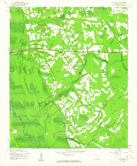
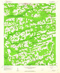
Other maps of this area

1940 · Florence East
USGS Topo · 1:62,500
1943 · Yauhannah
USGS Topo · 1:24,000
1943 · Henry
USGS Topo · 1:24,000
1943 · Dongola
USGS Topo · 1:24,000
1943 · Horry
USGS Topo · 1:24,000
1943 · Outland
USGS Topo · 1:24,000

1944 · Outland
USGS Topo · 1:31,680

1945 · Florence East
USGS Topo · 1:62,500

1946 · Hyman
USGS Topo · 1:62,500
1946 · Indiantown
USGS Topo · 1:62,500