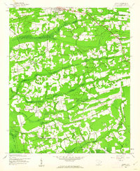
1943 Map of Dongola
USGS Topo · Published 1962About this map
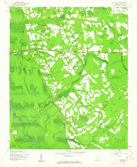
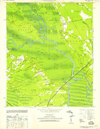
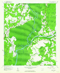
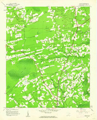
Britton Neck and the expansive wetlands of the Pee Dee Swamp dominate this mid-century landscape in Horry County. The settlement pattern follows the higher ground, with small communities like Dongola and Woodbury situated near the labyrinthine waterways of the Pee Dee River. The presence of several community centers, including Old Antioch Ch and Oak Grove Ch, suggests a rural social structure tied closely to local parishes and crossroads like Singleton Crossroads.
Find a feature on this map
54 named features on this map. Tap any name to fly to it.
Don’t see what you’re looking for? This feature index may not catch every label — zoom into the map to look around manually.
Map Details
Editions of this 1943 Dongola Map
2 editions found

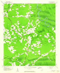
Other maps of this area
1943 · Yauhannah
USGS Topo · 1:24,000
1943 · Bucksville
USGS Topo · 1:24,000
1943 · Adrian
USGS Topo · 1:24,000
1943 · Horry
USGS Topo · 1:24,000
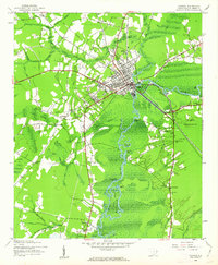
1943 · Conway
USGS Topo · 1:24,000
1943 · Outland
USGS Topo · 1:24,000

1944 · Outland
USGS Topo · 1:31,680

1944 · Adrian
USGS Topo · 1:31,680

1946 · Johnsonville
USGS Topo · 1:62,500

1949 · Georgetown
USGS Topo · 1:250,000