
1943 Map of Bucksville
USGS Topo · Published 1962About this map
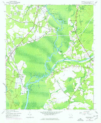
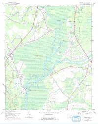
The Waccamaw River serves as the central artery of this South Carolina landscape, meandering through the dense wetlands of Big Swamp. The river's role in local commerce and defense is evident at Peachtree Landing and the Coast Guard Sta, while the Intracoastal Waterway cuts a straight modern path across the river's ancient oxbows. Settlements like Bucksville and Bucksport are anchored by a network of rural institutions, including Hebron Ch and Richardson Sch.
Find a feature on this map
36 named features on this map. Tap any name to fly to it.
Don’t see what you’re looking for? This feature index may not catch every label — zoom into the map to look around manually.
Map Details
Editions of this 1943 Bucksville Map
3 editions found
Other maps of this area

1937 · Myrtle Beach
USGS Topo · 1:48,000

1937 · Nixonville
USGS Topo · 1:48,000

1940 · Myrtle Beach
USGS Topo · 1:62,500

1942 · Nixonville
USGS Topo · 1:62,500

1943 · Yauhannah
USGS Topo · 1:24,000

1943 · Brookgreen
USGS Topo · 1:24,000

1943 · Plantersville
USGS Topo · 1:24,000

1943 · Dongola
USGS Topo · 1:24,000

1943 · Conway
USGS Topo · 1:24,000

1949 · Georgetown
USGS Topo · 1:250,000