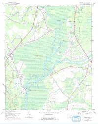
1943 Map of Bucksville
USGS Topo · Published 1976About this map
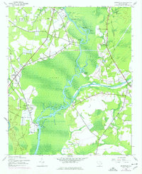
Waccamaw River meandering dominates this Lowcountry landscape, threading through the massive expanse of Big Swamp and connecting the historic river settlements of Bucksville and Bucksport. At the time of this mid-century survey, the Intracoastal Waterway cuts a straight path through the wetlands, intersecting with Socastee Creek near the community of Socastee. The map documents a rural infrastructure centered on education and faith, featuring several local landmarks like Ebenezer Sch, Virgo Sch, and Hebron Ch. Along the riverbanks, one can trace the remnants of an older economy through the Old Railroad Grade and various landings such as Peachtree Landing and Enterprise Landing. The inclusion of a Coast Guard Sta near the confluence of Bull Cr highlights the importance of maritime navigation in this riverine corridor.
Find a feature on this map
43 named features on this map. Tap any name to fly to it.
Don’t see what you’re looking for? This feature index may not catch every label — zoom into the map to look around manually.
Map Details
Editions of this 1943 Bucksville Map
3 editions found
Other maps of this area

1937 · Myrtle Beach
USGS Topo · 1:48,000

1937 · Nixonville
USGS Topo · 1:48,000

1940 · Myrtle Beach
USGS Topo · 1:62,500

1942 · Nixonville
USGS Topo · 1:62,500

1943 · Yauhannah
USGS Topo · 1:24,000

1943 · Bucksville
USGS Topo · 1:24,000

1943 · Brookgreen
USGS Topo · 1:24,000

1943 · Plantersville
USGS Topo · 1:24,000

1943 · Dongola
USGS Topo · 1:24,000

1943 · Conway
USGS Topo · 1:24,000