
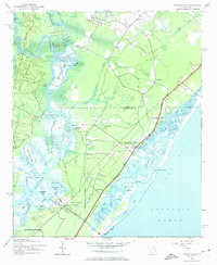
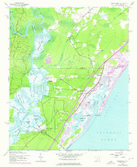
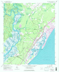
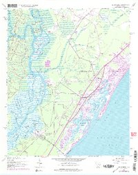
1943 Map of Brookgreen
USGS Topo · Published 1962About this map
Brookgreen Gardens and the coastal landscapes of the Lowcountry dominate this 1940s-era survey, revealing a network of waterways and early settlements along the boundary of Horry Co and Georgetown Co. The Waccamaw River serves as a primary geographic artery, its path punctuated by historical river access points like Wachesaw Landing, Mulberry Landing, and Longwood Landing. These landings, along with nearby rice-era features like Ricehope Creek, reflect a landscape deeply shaped by the river-based economy of the South Carolina coast.
Find a feature on this map
56 named features on this map. Tap any name to fly to it.
Don’t see what you’re looking for? This feature index may not catch every label — zoom into the map to look around manually.
Map Details
Editions of this 1943 Brookgreen Map
5 editions found
Other maps of this area

1937 · Myrtle Beach
USGS Topo · 1:48,000

1940 · Myrtle Beach
USGS Topo · 1:62,500

1942 · Magnolia Beach
USGS Topo · 1:24,000

1942 · Waverly Mills
USGS Topo · 1:24,000

1943 · Yauhannah
USGS Topo · 1:24,000

1943 · Bucksville
USGS Topo · 1:24,000

1943 · Plantersville
USGS Topo · 1:24,000

1949 · Georgetown
USGS Topo · 1:250,000

1967 · Georgetown
USGS Topo · 1:250,000

1974 · Georgetown
USGS Topo · 1:250,000
Featured Places
- Garden City Beach, SC
- Murrells Inlet, SC
- Sunny Side, Murrells Inlet
- Prince Creek West, SC
- International Club, SC