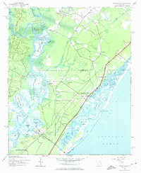
1943 Map of Brookgreen
USGS Topo · Published 1974About this map
The Waccamaw River carves a complex network of waterways through this South Carolina coastal landscape, defining a region where river transport and maritime life converge. The presence of numerous historic landings, including Wachesaw Landing, Mulberry Landing, and Longwood Landing, points to an era when these riverbanks served as vital hubs for commerce and travel before modern highway systems dominated the interior. To the south, the expansive grounds of Brookgreen Gardens occupy a significant portion of the peninsula, situated between the river and the Atlantic shore.
Find a feature on this map
58 named features on this map. Tap any name to fly to it.
Don’t see what you’re looking for? This feature index may not catch every label — zoom into the map to look around manually.
Map Details
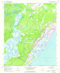
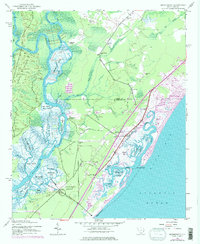
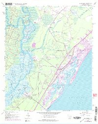
Editions of this 1943 Brookgreen Map
5 editions found
Other maps of this area

1937 · Myrtle Beach
USGS Topo · 1:48,000

1940 · Myrtle Beach
USGS Topo · 1:62,500

1942 · Magnolia Beach
USGS Topo · 1:24,000

1942 · Waverly Mills
USGS Topo · 1:24,000

1943 · Yauhannah
USGS Topo · 1:24,000

1943 · Bucksville
USGS Topo · 1:24,000

1943 · Brookgreen
USGS Topo · 1:24,000

1943 · Plantersville
USGS Topo · 1:24,000

1949 · Georgetown
USGS Topo · 1:250,000

1967 · Georgetown
USGS Topo · 1:250,000
Featured Places
- Garden City Beach, SC
- Murrells Inlet, SC
- Sunny Side, Murrells Inlet
- Prince Creek West, SC
- International Club, SC