
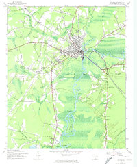
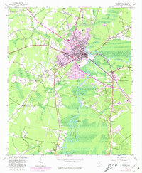
1943 Map of Conway
USGS Topo · Published 1962About this map
Conway sits at the confluence of the Waccamaw River and Kingston Lake, serving as a vital rail and river hub during the early 1940s. The landscape is defined by the expansive swamp systems of the coastal plain, including Crab Tree Swamp and Jenkins Swamp, which dictated the layout of local infrastructure. The Atlantic Coast Line railroad and an Old Railroad Grade illustrate the importance of timber and agricultural transport to the regional economy.
Find a feature on this map
56 named features on this map. Tap any name to fly to it.
Don’t see what you’re looking for? This feature index may not catch every label — zoom into the map to look around manually.
Map Details
Editions of this 1943 Conway Map
3 editions found
Other maps of this area

1937 · Myrtle Beach
USGS Topo · 1:48,000

1937 · Nixonville
USGS Topo · 1:48,000

1940 · Myrtle Beach
USGS Topo · 1:62,500

1942 · Nixonville
USGS Topo · 1:62,500

1943 · Yauhannah
USGS Topo · 1:24,000

1943 · Bucksville
USGS Topo · 1:24,000

1943 · Dongola
USGS Topo · 1:24,000

1943 · Adrian
USGS Topo · 1:24,000

1943 · Horry
USGS Topo · 1:24,000

1944 · Adrian
USGS Topo · 1:31,680