
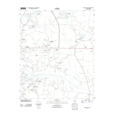
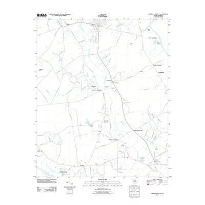
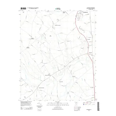
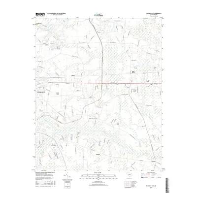
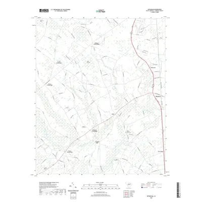
1940 Map of Florence East
USGS Topo · Published 1971About this map
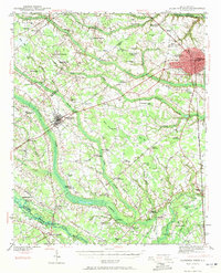
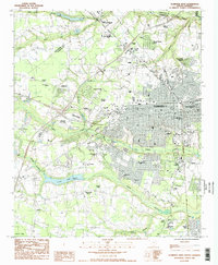
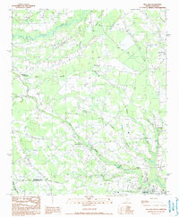
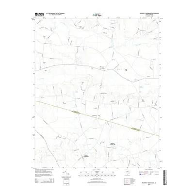
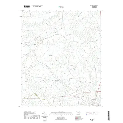
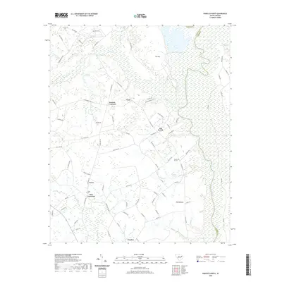
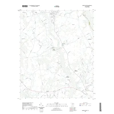
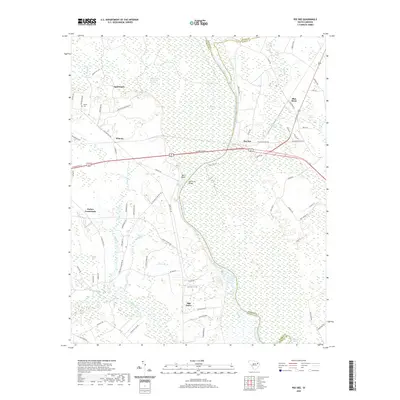
Lynches River and the meandering Pee Dee define the eastern and western reaches of this Pee Dee region landscape as it appeared just before the mid-century. The era's transportation network is anchored by the Atlantic Coast Line and Seaboard Coast Line, which serviced rural stops like Claussen Station and industrial sidings including Munns Siding and Pynor Siding. The map reveals a dense rural social fabric centered on family and community names, from schools like Woodville Sch and High Hill Sch to the numerous bays and swamps such as Alligator Bay and Back Swamp. Notable landmarks of the period include the Pee Dee Airport and the distinctively labeled The Stockade on the outskirts of Florence. For those tracing local heritage, the inclusion of small family cemeteries like Howe Cem and McPherson Cem provides precise locations for long-established homesteads.
Find a feature on this map
114 named features on this map. Tap any name to fly to it.
Don’t see what you’re looking for? This feature index may not catch every label — zoom into the map to look around manually.
Map Details
Editions of this 1940 Florence East Map
This is the sole edition of this map. No revisions or reprints were ever made.
Historical Maps of Florence Through Time
65 maps found
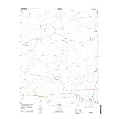
1940 Florence East
Florence County, SC
1940 Florence West
Florence County, SC

1945 Florence East
Florence County, SC

1945 Florence West
Florence County, SC

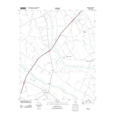
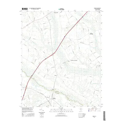
1946 Hyman
Florence County, SC
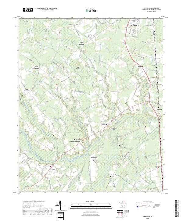
1986 Effingham
Florence County, SC
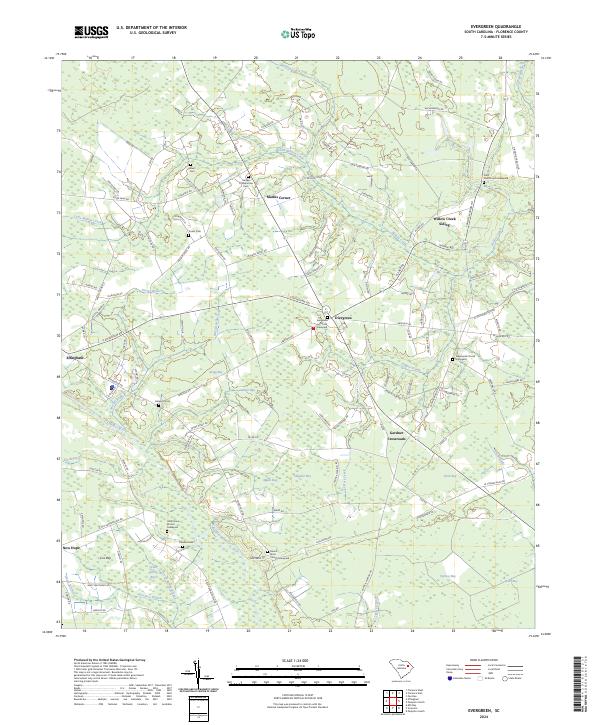
1986 Evergreen
Florence County, SC
1986 Florence East
Florence County, SC
1986 Florence West
Florence County, SC
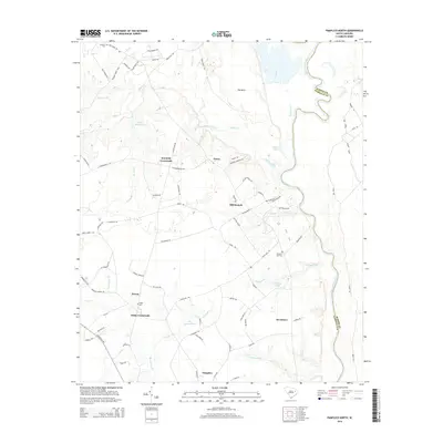
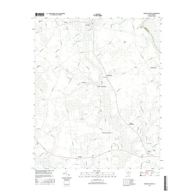
1986 Pamplico North
Florence County, SC
1986 Pee Dee
Florence County, SC
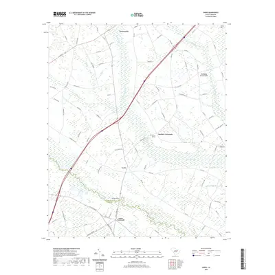
1986 Sardis
Florence County, SC
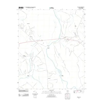
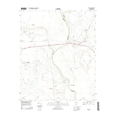
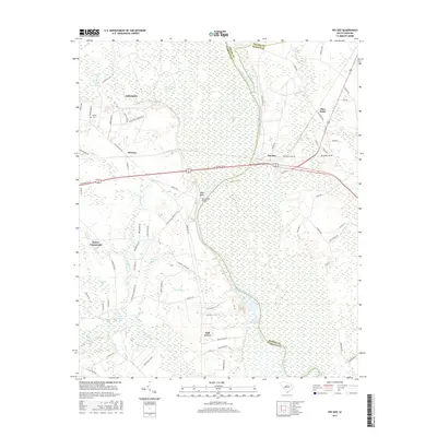
1990 Mill Bay
Florence County, SC
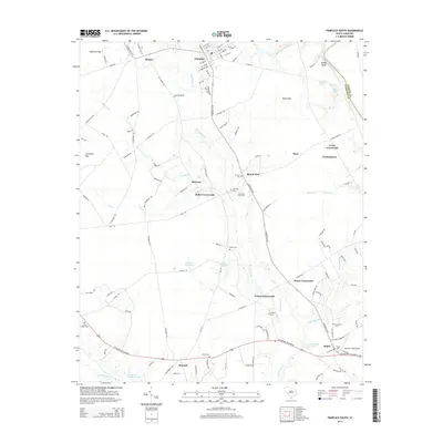
1990 Pamplico South
Florence County, SC
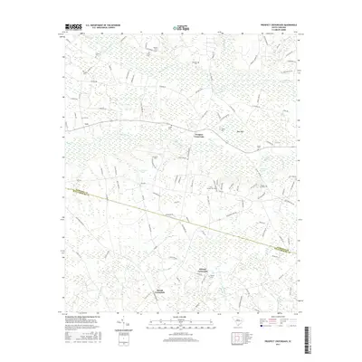
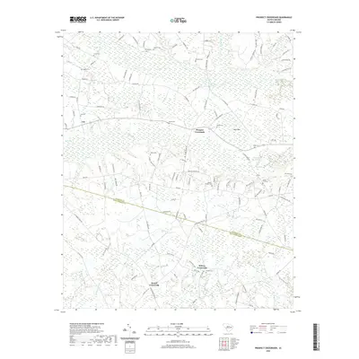
1990 Prospect Crossroads
Florence County, SC

2011 Effingham
Florence County, SC
2011 Evergreen
Florence County, SC
2011 Florence East
Florence County, SC
2011 Florence West
Florence County, SC
2011 Mill Bay
Florence County, SC
2011 Pamplico North
Florence County, SC
2011 Pamplico South
Florence County, SC
2011 Pee Dee
Florence County, SC
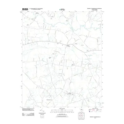
2011 Prospect Crossroads
Florence County, SC
2011 Sardis
Florence County, SC
2014 Effingham
Florence County, SC
2014 Evergreen
Florence County, SC
2014 Florence East
Florence County, SC
2014 Florence West
Florence County, SC
2014 Mill Bay
Florence County, SC
2014 Pamplico North
Florence County, SC
2014 Pamplico South
Florence County, SC
2014 Pee Dee
Florence County, SC
2014 Prospect Crossroads
Florence County, SC
2014 Sardis
Florence County, SC
2017 Effingham
Florence County, SC
2017 Evergreen
Florence County, SC
2017 Florence East
Florence County, SC
2017 Florence West
Florence County, SC
2017 Mill Bay
Florence County, SC
2017 Pamplico North
Florence County, SC
2017 Pamplico South
Florence County, SC
2017 Pee Dee
Florence County, SC
2017 Prospect Crossroads
Florence County, SC
2017 Sardis
Florence County, SC
2020 Effingham
Florence County, SC
2020 Evergreen
Florence County, SC
2020 Florence East
Florence County, SC
2020 Florence West
Florence County, SC
2020 Mill Bay
Florence County, SC
2020 Pamplico North
Florence County, SC
2020 Pamplico South
Florence County, SC
2020 Pee Dee
Florence County, SC
2020 Prospect Crossroads
Florence County, SC
2020 Sardis
Florence County, SC
2024 Effingham
Florence County, SC
2024 Evergreen
Florence County, SC

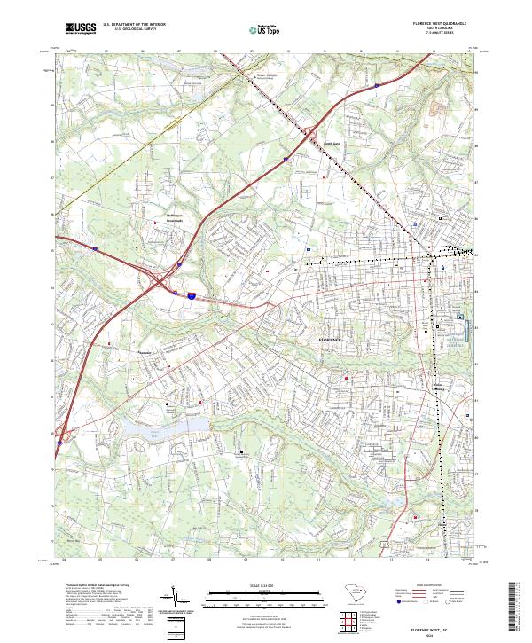
2024 Florence East
Florence County, SC
2024 Florence West
Florence County, SC
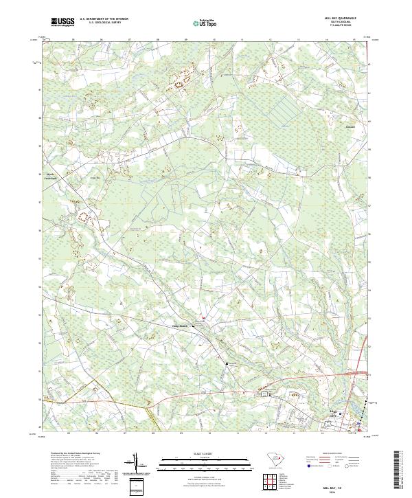
2024 Mill Bay
Florence County, SC
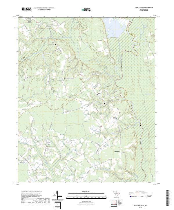
2024 Pamplico North
Florence County, SC
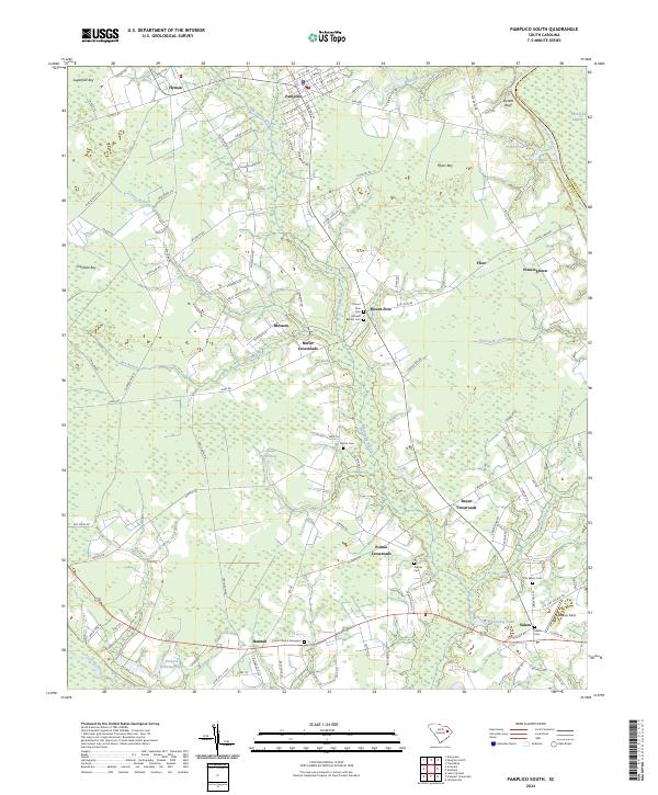
2024 Pamplico South
Florence County, SC
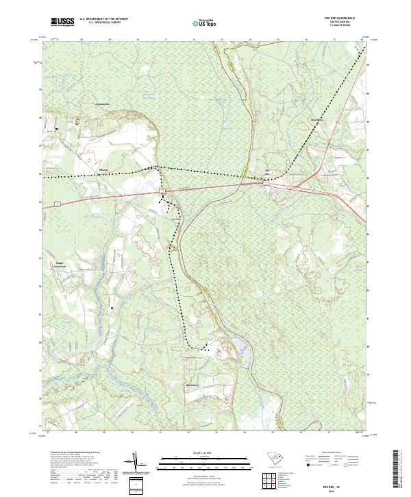
2024 Pee Dee
Florence County, SC
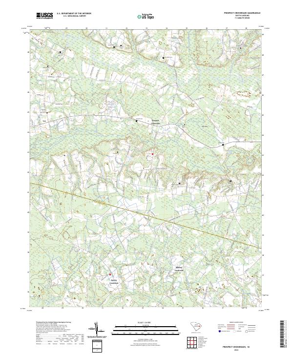
2024 Prospect Crossroads
Florence County, SC
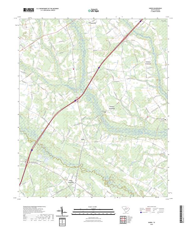
2024 Sardis
Florence County, SC