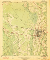
1947 Map of Marion
USGS Topo · Published 1947About this map
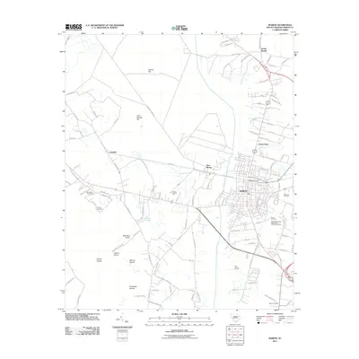
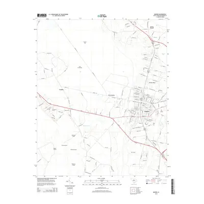
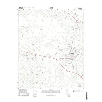
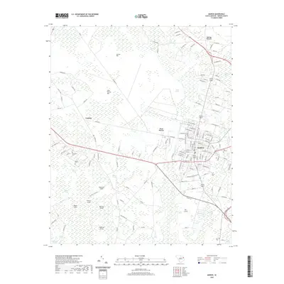
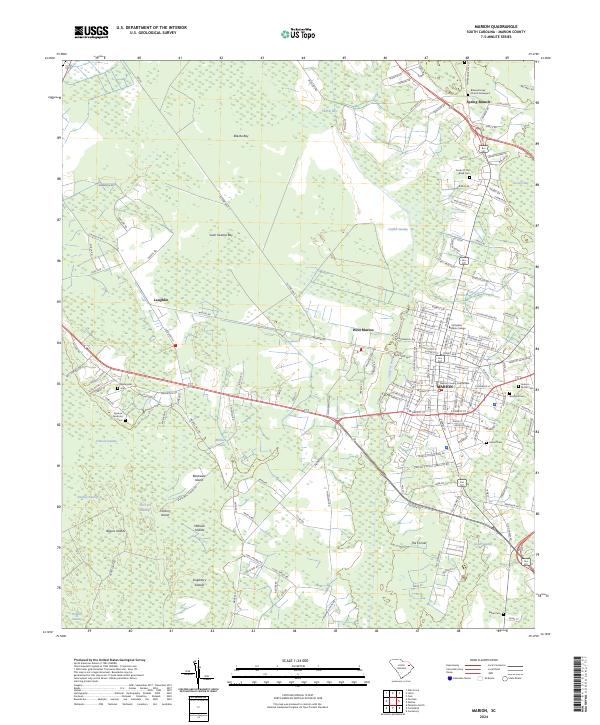
Marion serves as the focal point of this 1946 survey, shown just after the war years as a established hub defined by its grid system and the Atlantic Coast Line railroad. To the west, the landscape is heavily influenced by the drainage systems of Catfish Swamp and the Catfish Canal, which separate the town from rural clusters like West Marion and Laughlin. The map reveals a deeply rooted community structure, with numerous family-named landmarks and rural institutions including Singletary Ch and Singletary Sch near the Singletary Islands. The distribution of burial sites such as Springville Cem, Rose Hill Cem, and Baker Cem provides significant geographical context for genealogical research. Distinctive Carolina bays like Ellerbe Bay and Gum Swamp Bay dominate the northern terrain, illustrating the unique geological depressions characteristic of this coastal plain region.
Find a feature on this map
35 named features on this map. Tap any name to fly to it.
Don’t see what you’re looking for? This feature index may not catch every label — zoom into the map to look around manually.
Map Details
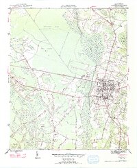
Editions of this 1947 Marion Map
3 editions found
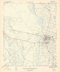
Historical Maps of Marion Through Time
6 maps found