
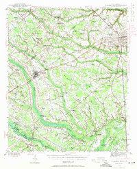
1954 Map of Florence
USGS Topo · Published 1954About this map
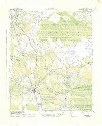
The Pee Dee River and Lumber River basins dominate this mid-century portrait of the Carolinas borderlands, where established towns like Florence, Lumberton, and Rockingham anchor a landscape defined by its wetlands and forests. The mapping of the Green Swamp and Sandhills regions highlights the unique topographical transitions between the coastal plain and the inner plateau. Large conservation and management tracts, such as the Sandhills Game Management Area and Bladen Lakes State Forest, are clearly delineated, reflecting the era's land use patterns.
Find a feature on this map
73 named features on this map. Tap any name to fly to it.
Don’t see what you’re looking for? This feature index may not catch every label — zoom into the map to look around manually.
Map Details
Editions of this 1954 Florence Map
This is the sole edition of this map. No revisions or reprints were ever made.
Other maps of this area
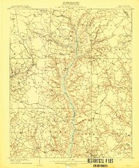
1909 · Coharie
USGS Topo · 1:62,500

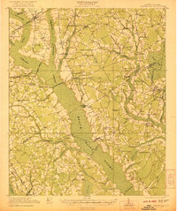
1920 · Mayesville
USGS Topo · 1:48,000
1921 · Mayesville
USGS Topo · 1:62,500
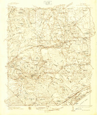
1937 · Nixonville
USGS Topo · 1:48,000
1940 · Florence West
USGS Topo · 1:62,500

1940 · Florence East
USGS Topo · 1:62,500

1941 · Spartanburg
USGS Topo · 1:250,000

1942 · Troy
USGS Topo · 1:125,000
1942 · Burgaw
USGS Topo · 1:62,500

1942 · Nixonville
USGS Topo · 1:62,500