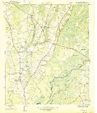
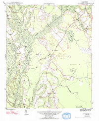
1947 Map of Centenary
USGS Topo · Published 1947About this map
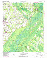
The Little Pee Dee River and its intricate network of sloughs and lakes define the eastern boundary of this South Carolina landscape, separating Marion and Horry counties. The interior is characterized by the agricultural and timber-focused economies of the mid-1940s, anchored by the community of Centenary and smaller hubs like Rains. The land is dotted with numerous family and community landmarks, including Beauty Spot Sch and St James Sch, alongside several rural churches like St Marys Ch and Zion Ch.
Find a feature on this map
60 named features on this map. Tap any name to fly to it.
Don’t see what you’re looking for? This feature index may not catch every label — zoom into the map to look around manually.
Map Details
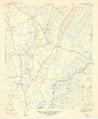
Editions of this 1947 Centenary Map
3 editions found
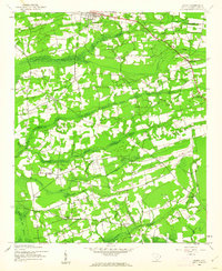
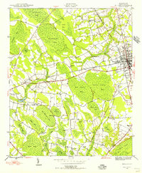
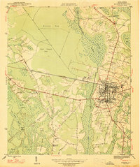
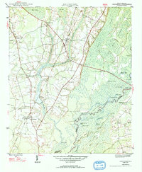
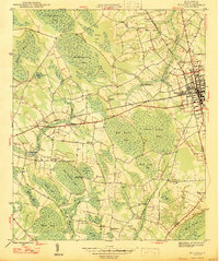
Other maps of this area
1943 · Horry
USGS Topo · 1:24,000

1946 · Johnsonville
USGS Topo · 1:62,500
1946 · Mullins
USGS Topo · 1:24,000
1947 · Friendship
USGS Topo · 1:24,000
1947 · Marion
USGS Topo · 1:24,000
1947 · Centenary
USGS Topo · 1:24,000
1947 · Mullins
USGS Topo · 1:24,000

1948 · Galivants Ferry
USGS Topo · 1:24,000
1948 · Nichols
USGS Topo · 1:24,000

1949 · Georgetown
USGS Topo · 1:250,000