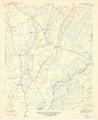
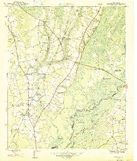
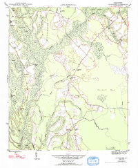
1947 Map of Centenary
USGS Topo · Published 1947About this map
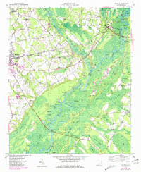
Little Pee Dee River meanders through a landscape defined by an intricate network of backwaters and swamps along the border of Marion and Horry counties. In the post-war era, the local economy appears rooted in the timber and agricultural potential of the lowlands, evidenced by numerous named ponds like Smith Mill Pond and Leggett Mill Pond. The Seaboard Air Line railroad provides a central transportation spine, connecting the small settlements of Rains and Centenary. Community life is anchored by a significant number of rural institutions, including Beauty Spot Sch, St James Sch, and numerous family and community burial grounds such as Palmer Cem and Allen Cem. Further east, the terrain transitions into the dense Pee Dee Swamp, where isolated lakes like Blocker Lake and Haroldson Lake pocket the river bottoms.
Find a feature on this map
58 named features on this map. Tap any name to fly to it.
Don’t see what you’re looking for? This feature index may not catch every label — zoom into the map to look around manually.
Map Details
Editions of this 1947 Centenary Map
3 editions found
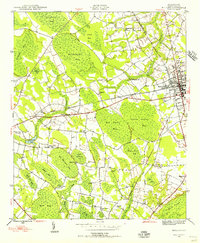
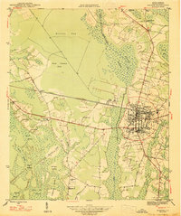
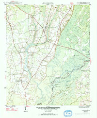
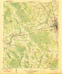
Other maps of this area
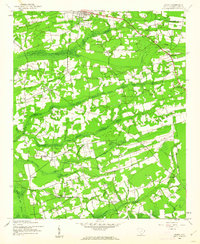
1943 · Horry
USGS Topo · 1:24,000

1946 · Johnsonville
USGS Topo · 1:62,500
1946 · Mullins
USGS Topo · 1:24,000
1947 · Friendship
USGS Topo · 1:24,000
1947 · Marion
USGS Topo · 1:24,000
1947 · Centenary
USGS Topo · 1:24,000
1947 · Mullins
USGS Topo · 1:24,000

1948 · Galivants Ferry
USGS Topo · 1:24,000
1948 · Nichols
USGS Topo · 1:24,000

1949 · Georgetown
USGS Topo · 1:250,000