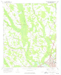
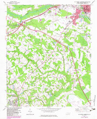
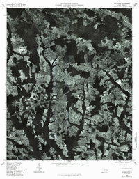
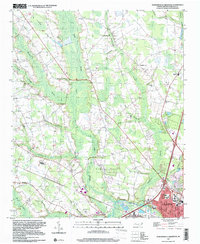
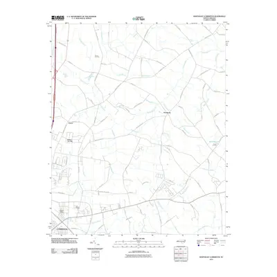
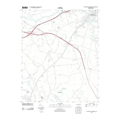
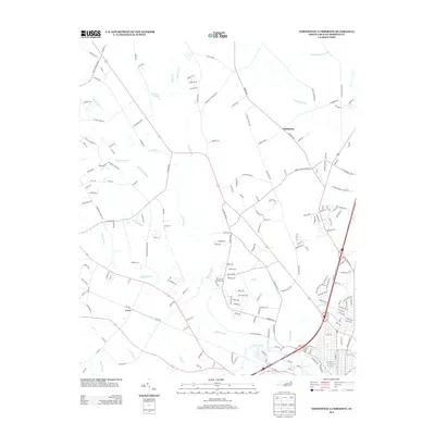
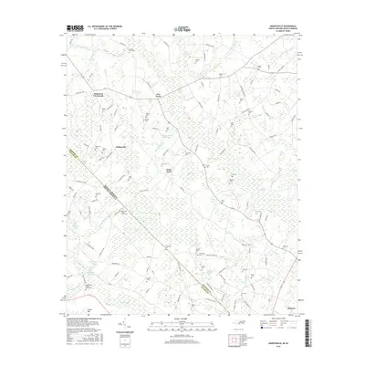
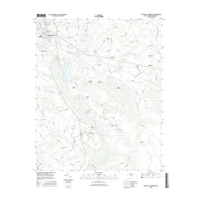
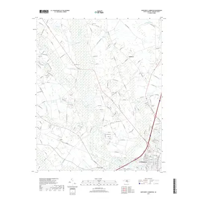
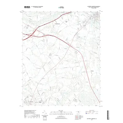
1972 Map of Northwest Lumberton
USGS Topo · Published 1975About this map
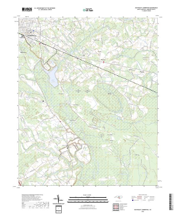
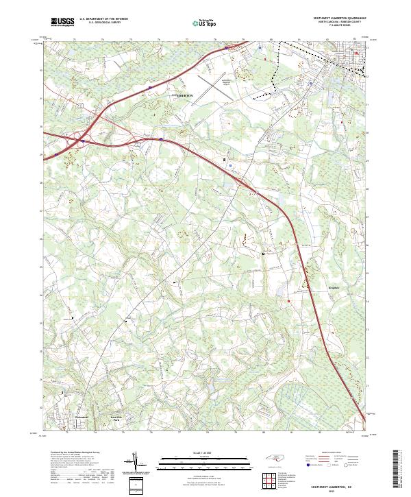
The Lumber River and its dense network of tributaries, including the broad Raft Swamp, define the landscape of Robeson County in the early 1970s. The city of Lumberton sits at the southern edge of this survey, where the Seaboard Coast Line railroad facilitates transport through the coastal plain. The region is characterized by numerous family and community landmarks, such as the Mc Niell Cem and the Gardens of Faith, interspersed with small rural communities like Saddletree and Clybonville.
Find a feature on this map
62 named features on this map. Tap any name to fly to it.
Don’t see what you’re looking for? This feature index may not catch every label — zoom into the map to look around manually.
Map Details
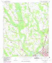
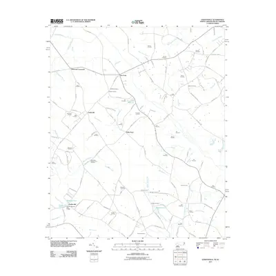
Editions of this 1972 Northwest Lumberton Map
2 editions found
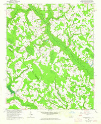
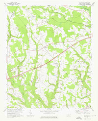
Historical Maps of Lumberton Through Time
47 maps found

1943 Pages Mill
Robeson County, NC
1962 Gaddysville
Robeson County, NC
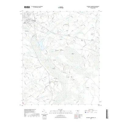
1972 Mc Donald
Robeson County, NC
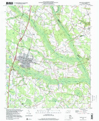
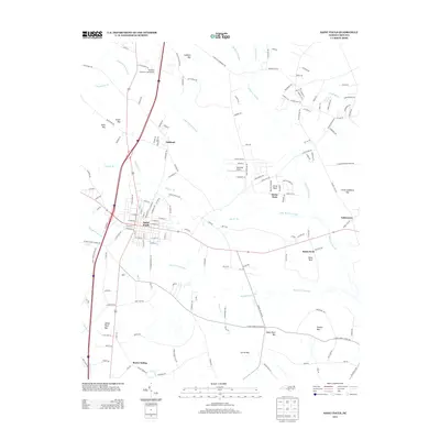
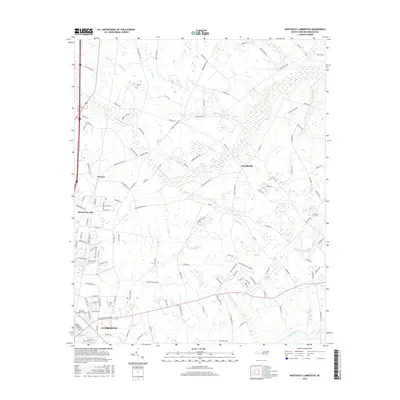
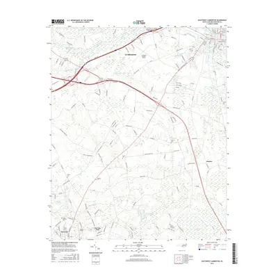
1972 Northwest Lumberton
Robeson County, NC
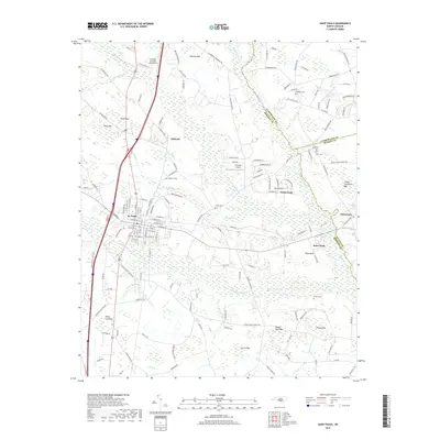
1972 Southwest Lumberton
Robeson County, NC
1976 Gaddysville
Robeson County, NC

1976 Mc Donald
Robeson County, NC
1976 Northwest Lumberton
Robeson County, NC
1976 Southwest Lumberton
Robeson County, NC
1981 Mc Donald
Robeson County, NC
1986 Northeast Lumberton
Robeson County, NC
1986 Saint Pauls
Robeson County, NC
1986 Southeast Lumberton
Robeson County, NC
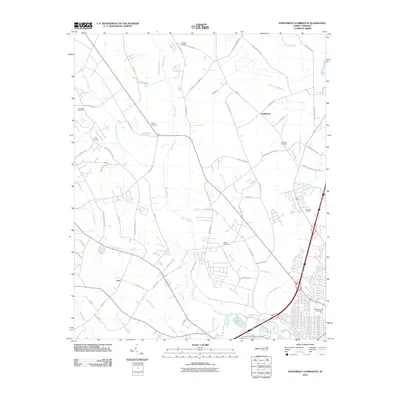
1997 Northwest Lumberton
Robeson County, NC
1997 Saint Pauls
Robeson County, NC
1997 Southeast Lumberton
Robeson County, NC
1997 Southwest Lumberton
Robeson County, NC
2010 Northeast Lumberton
Robeson County, NC
2010 Northwest Lumberton
Robeson County, NC
2010 Saint Pauls
Robeson County, NC
2010 Southeast Lumberton
Robeson County, NC
2010 Southwest Lumberton
Robeson County, NC
2011 Gaddysville
Robeson County, NC
2013 Gaddysville
Robeson County, NC
2013 Northeast Lumberton
Robeson County, NC
2013 Northwest Lumberton
Robeson County, NC
2013 Saint Pauls
Robeson County, NC
2013 Southeast Lumberton
Robeson County, NC
2013 Southwest Lumberton
Robeson County, NC
2016 Gaddysville
Robeson County, NC
2016 Northeast Lumberton
Robeson County, NC
2016 Northwest Lumberton
Robeson County, NC
2016 Saint Pauls
Robeson County, NC
2016 Southeast Lumberton
Robeson County, NC
2016 Southwest Lumberton
Robeson County, NC
2019 Gaddysville
Robeson County, NC
2019 Northeast Lumberton
Robeson County, NC
2019 Northwest Lumberton
Robeson County, NC
2019 Saint Pauls
Robeson County, NC
2019 Southeast Lumberton
Robeson County, NC
2019 Southwest Lumberton
Robeson County, NC
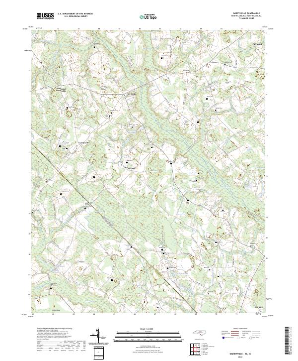
2022 Gaddysville
Robeson County, NC
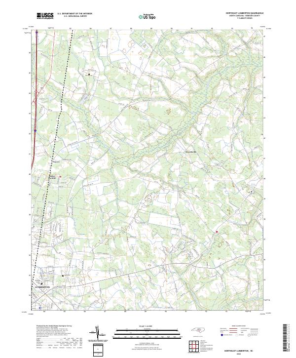
2022 Northeast Lumberton
Robeson County, NC
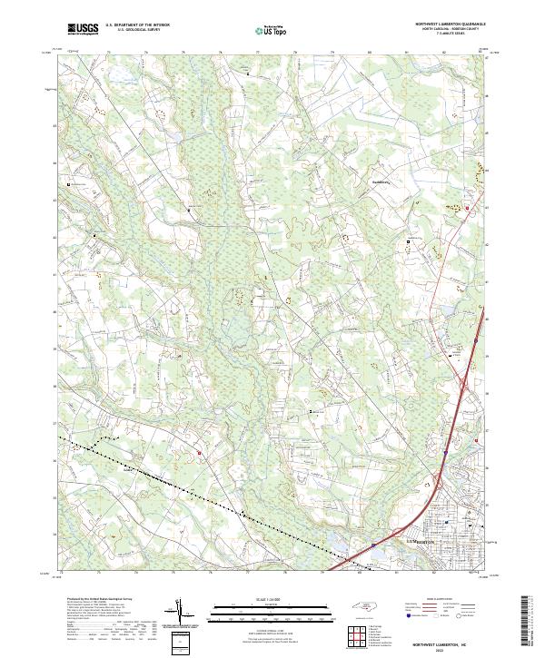
2022 Northwest Lumberton
Robeson County, NC
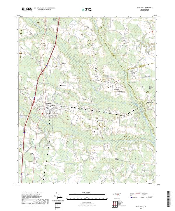
2022 Saint Pauls
Robeson County, NC
2022 Southeast Lumberton
Robeson County, NC
2022 Southwest Lumberton
Robeson County, NC