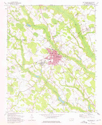
1974 Map of Red Springs
USGS Topo · Published 1975About this map
Red Springs serves as the focal point of this Robeson County landscape, where the intersection of the Seaboard Coast Line railroad and local highways defined the town's mid-century footprint. The area is characterized by an intricate network of wetlands, including Little Raft Swamp and Richland Swamp, which historically influenced the placement of rural settlements and transport routes. Educational and religious institutions are dense within the town limits, featuring Vardell Hall, Peterson Sch, and numerous congregations such as St Stephens Ch and Trinity Ch. Beyond the main town center, the small communities of Shannon and Philadelphus mark the peripheral agricultural and transit zones, while several family and community landmarks like Johnsons Chapel and Alloway Cem provide specific points of interest for genealogical research in this part of North Carolina.
Find a feature on this map
46 named features on this map. Tap any name to fly to it.
Don’t see what you’re looking for? This feature index may not catch every label — zoom into the map to look around manually.
Map Details
Editions of this 1974 Red Springs Map
2 editions found
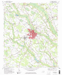
Other maps of this area

1949 · Wagram
USGS Topo · 1:24,000

1949 · Wakulla
USGS Topo · 1:24,000

1949 · Laurinburg
USGS Topo · 1:62,500

1953 · Florence
USGS Topo · 1:250,000

1954 · Florence
USGS Topo · 1:250,000

1972 · Northwest Lumberton
USGS Topo · 1:24,000

1972 · Rennert
USGS Topo · 1:24,000
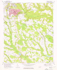
1972 · Raeford
USGS Topo · 1:24,000

1972 · Pembroke
USGS Topo · 1:24,000
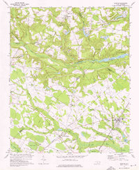
1972 · Parkton
USGS Topo · 1:24,000