
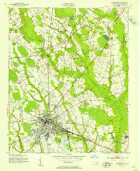
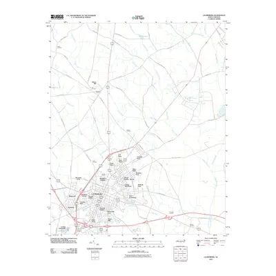
1949 Map of Laurinburg
USGS Topo · Published 1954About this map
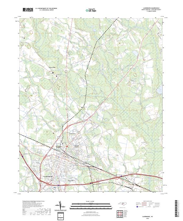
Laurinburg serves as the focal point of this mid-century survey, revealing a bustling junction for the Seaboard Air Line and the Laurinburg and Southern RR. The settlement pattern at this time shows distinct neighborhoods like North View and Middleton Heights, alongside industrial sites such as Gibson Mill. To the east, the Lumber River and Drowning Creek define the low-lying terrain, where small agrarian communities like Wagram and Wakulla are linked by the Atlantic Coast Line.
Find a feature on this map
79 named features on this map. Tap any name to fly to it.
Don’t see what you’re looking for? This feature index may not catch every label — zoom into the map to look around manually.
Map Details
Editions of this 1949 Laurinburg Map
This is the sole edition of this map. No revisions or reprints were ever made.
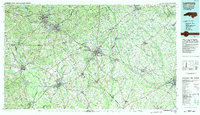
Historical Maps of Laurinburg Through Time
10 maps found
1949 Laurinburg
Scotland County, NC
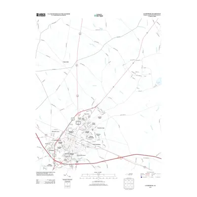
1949 Laurinburg
Scotland County, NC
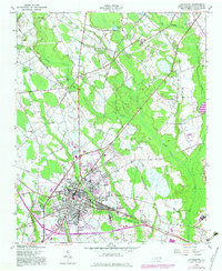
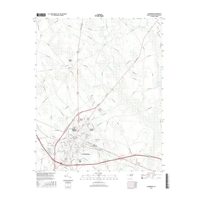
1957 Laurinburg
Scotland County, NC
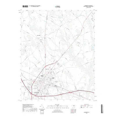
1976 Laurinburg
Scotland County, NC
1983 Laurinburg
Scotland County, NC
2010 Laurinburg
Scotland County, NC
2013 Laurinburg
Scotland County, NC
2016 Laurinburg
Scotland County, NC
2019 Laurinburg
Scotland County, NC
2022 Laurinburg
Scotland County, NC