
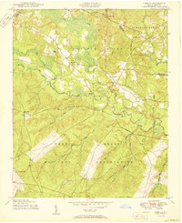
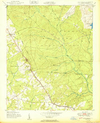
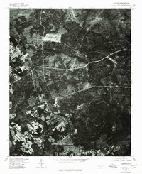
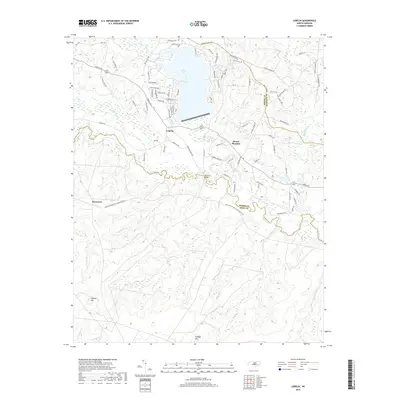
1948 Map of Clifdale
USGS Topo · Published 1967About this map
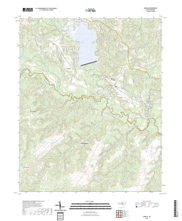
The Fort Bragg Military Reservation dominates this 1940s landscape, illustrating the massive scale of military land use in North Carolina at the end of the Second World War. The map details the transition from rural agricultural life to a strategic military hub, featuring landmarks like Pope Field Air Force Base and several rifle ranges. Despite the military presence, old community nodes remain visible, including Lobelia and Overhills, along with numerous family-named peaks such as Gaddys Mountain and Finlayson Mountain.
Find a feature on this map
79 named features on this map. Tap any name to fly to it.
Don’t see what you’re looking for? This feature index may not catch every label — zoom into the map to look around manually.
Map Details
Editions of this 1948 Clifdale Map
This is the sole edition of this map. No revisions or reprints were ever made.
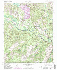
Historical Maps of Fayetteville Through Time
23 maps found
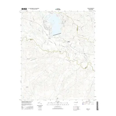
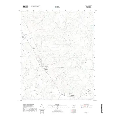
1948 Clifdale
Hoke County, NC
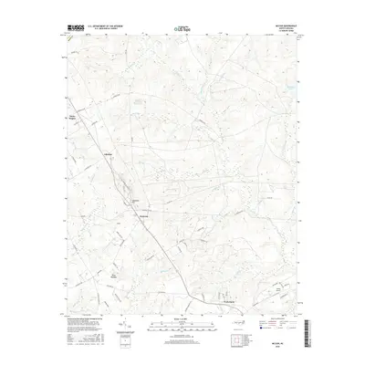
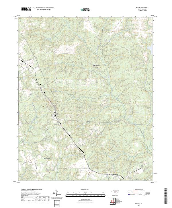
1948 Mc Cain
Hoke County, NC
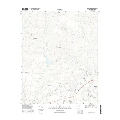
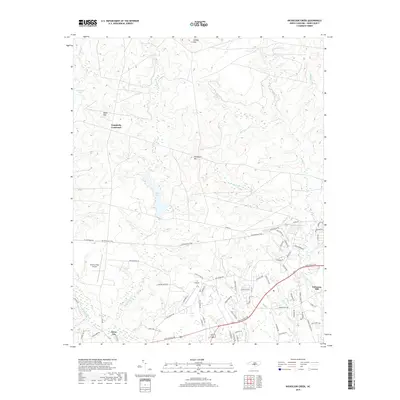
1948 Nicholson Creek
Hoke County, NC
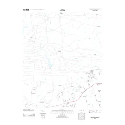
1950 Lobelia
Hoke County, NC
1950 Nicholson Creek
Hoke County, NC
1950 Sanatorium
Hoke County, NC

1951 Clifdale
Hoke County, NC
1957 Lobelia
Hoke County, NC
1976 Lobelia
Hoke County, NC
1976 Nicholson Creek
Hoke County, NC
1976 Sanatorium
Hoke County, NC
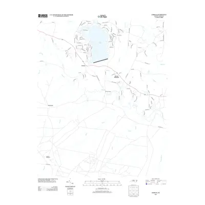
2013 Lobelia
Hoke County, NC
2013 McCain
Hoke County, NC
2013 Nicholson Creek
Hoke County, NC
2016 Lobelia
Hoke County, NC
2016 McCain
Hoke County, NC
2016 Nicholson Creek
Hoke County, NC
2019 Lobelia
Hoke County, NC
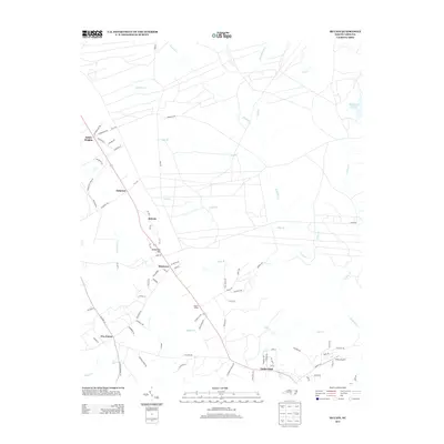
2019 McCain
Hoke County, NC
2019 Nicholson Creek
Hoke County, NC
2022 Lobelia
Hoke County, NC
2022 McCain
Hoke County, NC
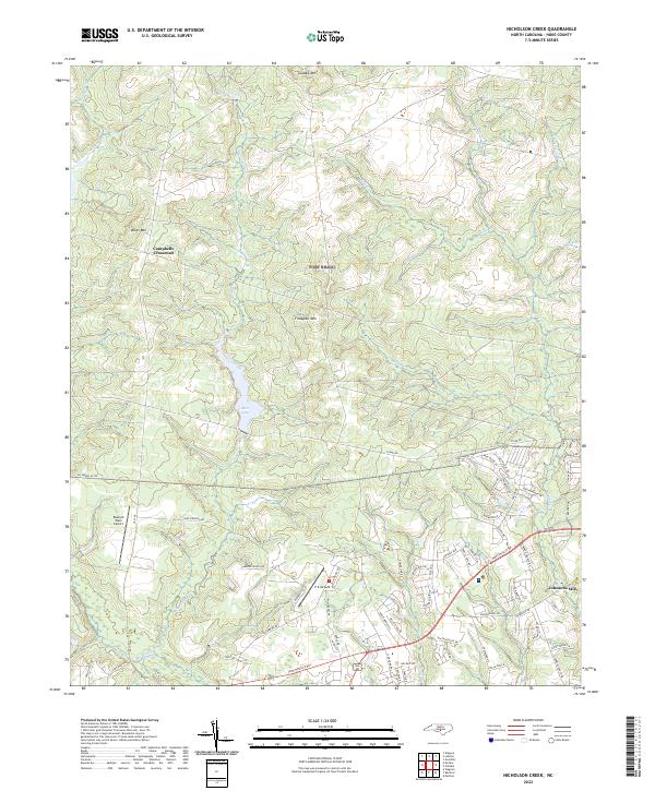
2022 Nicholson Creek
Hoke County, NC