
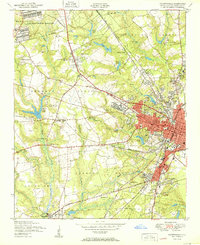
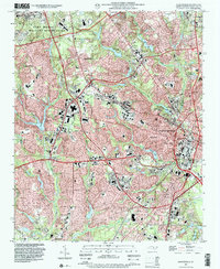
1948 Map of Fayetteville
USGS Topo · Published 1954About this map
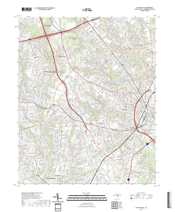
Fayetteville sits at the heart of this mid-century landscape, appearing as a growing urban center where the Atlantic Coast Line and other rail routes converge near the Cape Fear River. To the northwest, the Fort Bragg Military Reservation occupies a massive footprint, punctuated by training areas and specialized sites like the Camp Ground. The transition from city to country is marked by small settlements and family-named landmarks, such as Bonnie Doone, Lakedale, and the industrial Brick Kilns near Slocomb.
Find a feature on this map
81 named features on this map. Tap any name to fly to it.
Don’t see what you’re looking for? This feature index may not catch every label — zoom into the map to look around manually.
Map Details
Editions of this 1948 Fayetteville Map
This is the sole edition of this map. No revisions or reprints were ever made.
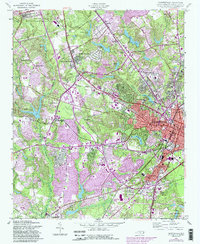
Historical Maps of Fayetteville Through Time
11 maps found
1948 Fayetteville
Cumberland County, NC
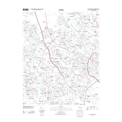
1950 Fayetteville
Cumberland County, NC

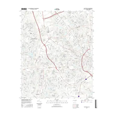
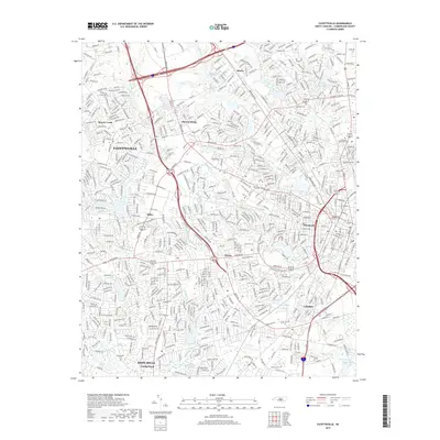
1957 Fayetteville
Cumberland County, NC
1957 Fayetteville
Cumberland County, NC
1976 Fayetteville
Cumberland County, NC
1986 Fayetteville
Cumberland County, NC
1997 Fayetteville
Cumberland County, NC
2013 Fayetteville
Cumberland County, NC
2016 Fayetteville
Cumberland County, NC
2019 Fayetteville
Cumberland County, NC
2022 Fayetteville
Cumberland County, NC