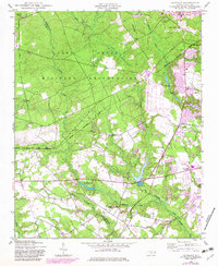
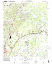
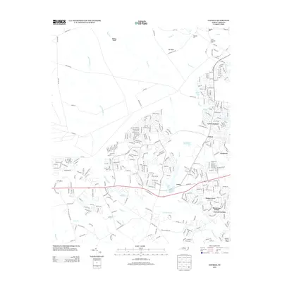
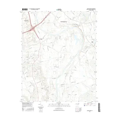
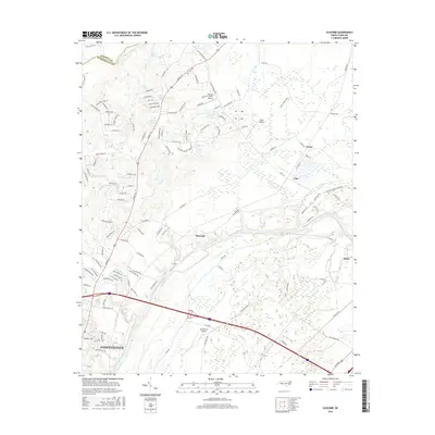
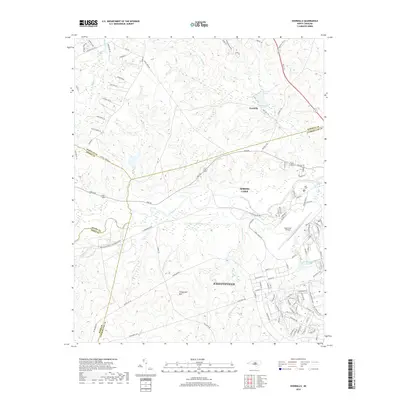
1948 Map of Clifdale
USGS Topo · Published 1983About this map
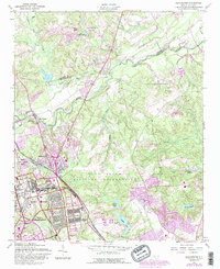
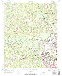
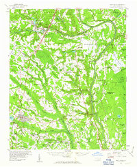
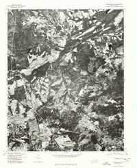
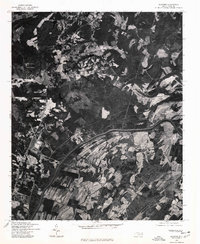
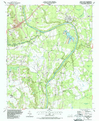
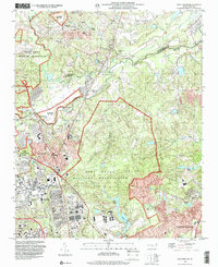
The Fort Bragg Military Reservation dominates the northern landscape of this map, illustrating the significant military footprint in Cumberland and Hoke Counties during the mid-20th century. The boundary line cuts across the terrain, separating the artillery ranges and training grounds from the civilian developments of Clifdale and Fenix. Along the southern reaches, the Aberdeen and Rockfish railroad corridor serves as a vital transport link, passing near the 71st High School and several local water bodies like Lake William. The map captures a mix of traditional rural landmarks, such as Longstreet Church and Galatia Church, alongside specialized infrastructure like a Fish Hatchery and a Landing Strip. These features together reveal a community defined by the intersection of military operations, education, and early-century rail industry.
Find a feature on this map
23 named features on this map. Tap any name to fly to it.
Don’t see what you’re looking for? This feature index may not catch every label — zoom into the map to look around manually.
Map Details
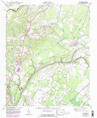
Editions of this 1948 Clifdale Map
This is the sole edition of this map. No revisions or reprints were ever made.
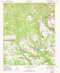
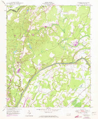
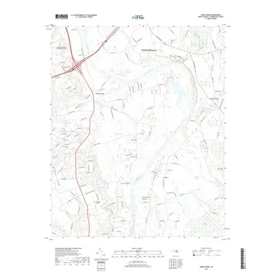
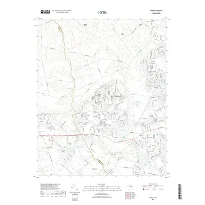
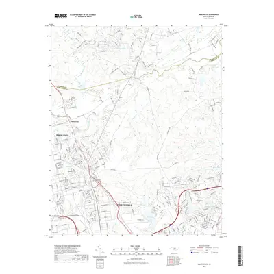
Historical Maps of Fayetteville Through Time
36 maps found
1948 Clifdale
Cumberland County, NC
1948 Slocomb
Cumberland County, NC
1950 Clifdale
Cumberland County, NC

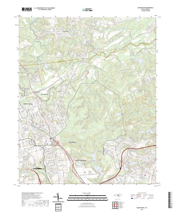
1950 Manchester
Cumberland County, NC
1950 Slocomb
Cumberland County, NC
1957 Manchester
Cumberland County, NC
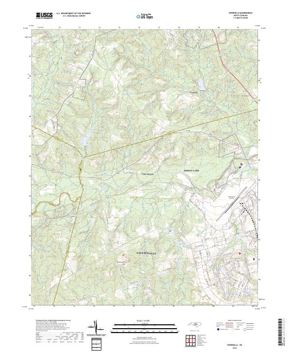
1957 Overhills
Cumberland County, NC
1959 Saint Pauls
Cumberland County, NC
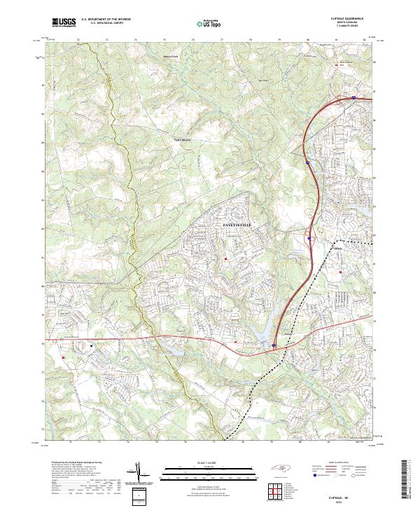
1976 Clifdale
Cumberland County, NC
1976 Manchester
Cumberland County, NC
1976 Slocomb
Cumberland County, NC
1986 Cedar Creek
Cumberland County, NC
1997 Manchester
Cumberland County, NC
1997 Slocomb
Cumberland County, NC
2010 Cedar Creek
Cumberland County, NC
2010 Slocomb
Cumberland County, NC
2013 Cedar Creek
Cumberland County, NC
2013 Clifdale
Cumberland County, NC
2013 Manchester
Cumberland County, NC
2013 Overhills
Cumberland County, NC
2013 Slocomb
Cumberland County, NC
2016 Cedar Creek
Cumberland County, NC
2016 Clifdale
Cumberland County, NC
2016 Manchester
Cumberland County, NC
2016 Overhills
Cumberland County, NC
2016 Slocomb
Cumberland County, NC
2019 Cedar Creek
Cumberland County, NC
2019 Clifdale
Cumberland County, NC
2019 Manchester
Cumberland County, NC
2019 Overhills
Cumberland County, NC

2019 Slocomb
Cumberland County, NC

2022 Cedar Creek
Cumberland County, NC
2022 Clifdale
Cumberland County, NC
2022 Manchester
Cumberland County, NC
2022 Overhills
Cumberland County, NC
2022 Slocomb
Cumberland County, NC
Featured Locations
- Fort Liberty, NC
- Fayetteville, NC
- Cliffdale, Fayetteville
- Loch Lommond, Fayetteville
- Emerald Gardens, Fayetteville