
1948 Map of Nicholson Creek
USGS Topo · Published 1974About this map
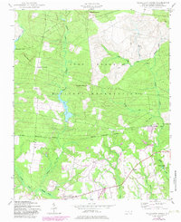
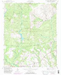
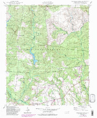
Fort Bragg Military Reservation dominates the northern half of this landscape, its presence defined by the Military Reservation Boundary that cuts through Hoke County. Within these restricted lands, the terrain rises to Finlayson Mountain and Blues Mountain, while the waters of Mott Lake and Nicholson Creek provide the primary drainage for the area. The map captures a moment of transition following World War II, showing an Abandoned CCC Camp near the lakeshore and a Landing Field situated among the wooded hills.
Find a feature on this map
30 named features on this map. Tap any name to fly to it.
Don’t see what you’re looking for? This feature index may not catch every label — zoom into the map to look around manually.
Map Details
Editions of this 1948 Nicholson Creek Map
4 editions found
Other maps of this area

1948 · Southern Pines
USGS Topo · 1:62,500

1948 · Clifdale
USGS Topo · 1:62,500

1948 · Clifdale
USGS Topo · 1:24,000

1948 · Mc Cain
USGS Topo · 1:24,000

1949 · Wagram
USGS Topo · 1:24,000

1949 · Laurinburg
USGS Topo · 1:62,500

1950 · Clifdale
USGS Topo · 1:24,000

1950 · Sanatorium
USGS Topo · 1:24,000

1950 · Lobelia
USGS Topo · 1:24,000

1950 · Niagara
USGS Topo · 1:24,000