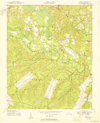
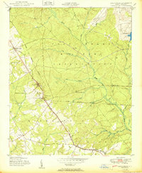
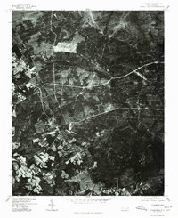
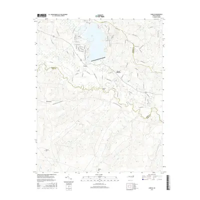
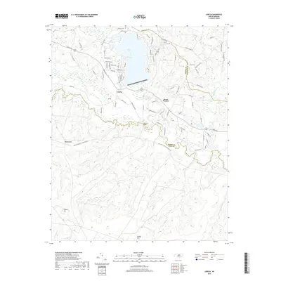
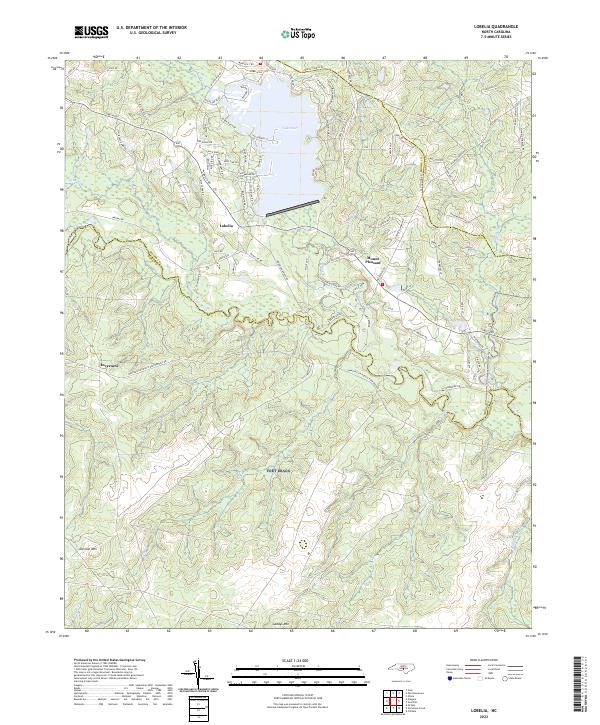
1950 Map of Lobelia
USGS Topo · Published 1950About this map
The Fort Bragg Military Reservation dominates the southern landscape of this 1950 survey, where tactical training grounds meet the rural settlements of the North Carolina Sandhills. This map documents a critical period of military expansion and rural life at the border of Moore, Hoke, and Harnett counties. Along the Little River, the terrain shifts from the wooded hills of Johnson Mtn to the managed landscapes of the reservation boundary. Small communities like Lobelia and Inverness appear as clusters of homesteads and local institutions, including Frys Mission School and Cypress Church. The presence of the Landing Field near Inverness and the Morrison Bridge over the river highlights the transportation network supporting both civilian and military activity. Local landmarks such as Johnsonville and the winding course of Crane Creek provide essential reference points for genealogists tracing family landholdings in this transitional landscape.
Find a feature on this map
26 named features on this map. Tap any name to fly to it.
Don’t see what you’re looking for? This feature index may not catch every label — zoom into the map to look around manually.
Map Details
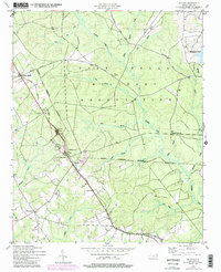
Editions of this 1950 Lobelia Map
This is the sole edition of this map. No revisions or reprints were ever made.
Historical Maps of Mount Pleasant Through Time
23 maps found

1948 Clifdale
Hoke County, NC
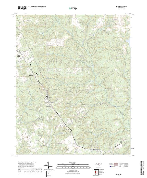
1948 Mc Cain
Hoke County, NC
1948 Nicholson Creek
Hoke County, NC
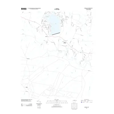
1950 Lobelia
Hoke County, NC
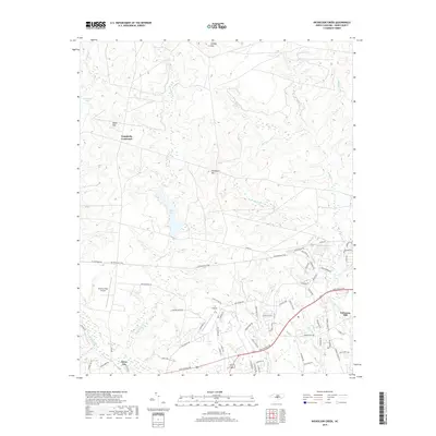
1950 Nicholson Creek
Hoke County, NC
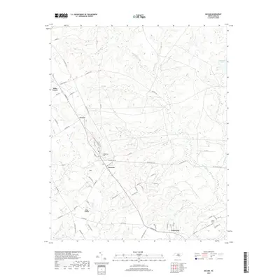
1950 Sanatorium
Hoke County, NC

1951 Clifdale
Hoke County, NC
1957 Lobelia
Hoke County, NC
1976 Lobelia
Hoke County, NC
1976 Nicholson Creek
Hoke County, NC
1976 Sanatorium
Hoke County, NC
2013 Lobelia
Hoke County, NC
2013 McCain
Hoke County, NC
2013 Nicholson Creek
Hoke County, NC
2016 Lobelia
Hoke County, NC
2016 McCain
Hoke County, NC
2016 Nicholson Creek
Hoke County, NC
2019 Lobelia
Hoke County, NC
2019 McCain
Hoke County, NC
2019 Nicholson Creek
Hoke County, NC
2022 Lobelia
Hoke County, NC
2022 McCain
Hoke County, NC
2022 Nicholson Creek
Hoke County, NC