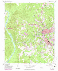
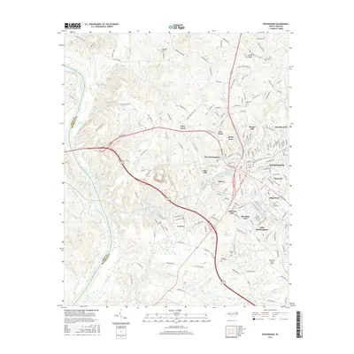
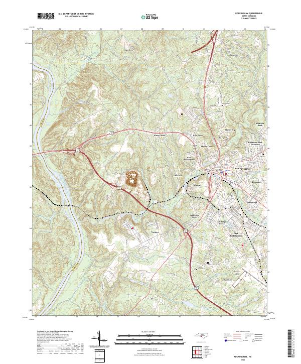
1942 Map of Rockingham
USGS Topo · Published 1944About this map
Pee Dee River drainage defines this borderland landscape during the early 1940s, anchored by the industrial and transit hubs of Rockingham and Hamlet. The power generated by the Blewett Falls Dam and the confluence of numerous rail lines, including the Seaboard Air Line Railroad and the Rockingham Railroad, fueled a regional economy based on milling and textile production. This reliance on water power is evident in the dense concentration of mill ponds such as Everett Mill Pond, Bullards Mill Pond, and McLaurins Mill Pond that dot the tributaries of Falling Creek and Marks Creek.
Find a feature on this map
115 named features on this map. Tap any name to fly to it.
Don’t see what you’re looking for? This feature index may not catch every label — zoom into the map to look around manually.
Map Details
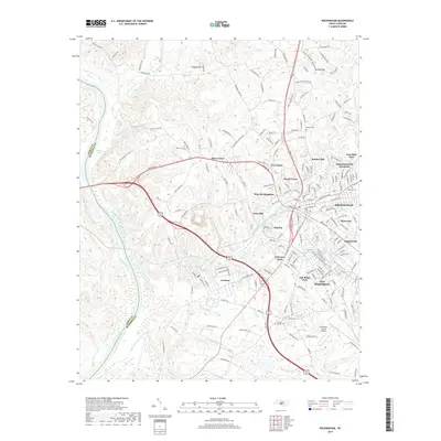
Editions of this 1942 Rockingham Map
This is the sole edition of this map. No revisions or reprints were ever made.
Historical Maps of Laurinburg Through Time
8 maps found