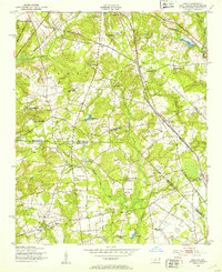
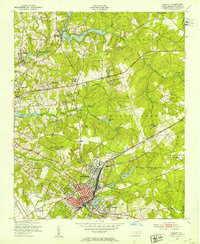
1949 Map of Ghio
USGS Topo · Published 1953About this map
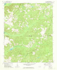
The Seaboard Air Line railroad cuts a diagonal path through this borderland, where the intersection of Richmond Co and Scotland County meets the South Carolina state line. In the late 1940s, this rural landscape was defined by small clusters of community life centered on crossroads and rail stops like Ghio and Scholl Sta. The map reveals a high density of country churches and family cemeteries, including Prevatt Chapel, Mt Moriah Ch, and the Tabernacle Cem, suggesting a deeply rooted social fabric in townships like Williamsons and Marks Creek.
Find a feature on this map
48 named features on this map. Tap any name to fly to it.
Don’t see what you’re looking for? This feature index may not catch every label — zoom into the map to look around manually.
Map Details
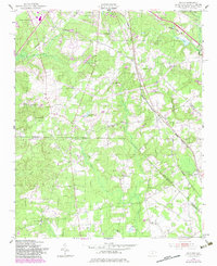
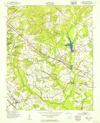
Editions of this 1949 Ghio Map
2 editions found
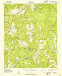
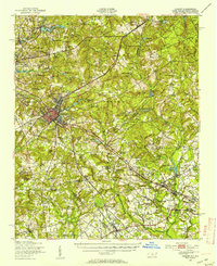
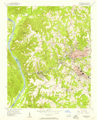
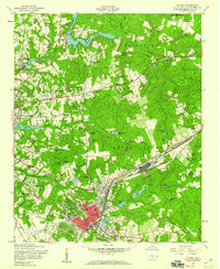
Other maps of this area

1942 · Rockingham
USGS Topo · 1:125,000
1949 · Gibson
USGS Topo · 1:24,000
1949 · Marston
USGS Topo · 1:24,000
1949 · Hamlet
USGS Topo · 1:24,000
1949 · Hamlet
USGS Topo · 1:62,500

1953 · Florence
USGS Topo · 1:250,000

1954 · Florence
USGS Topo · 1:250,000
1956 · Rockingham
USGS Topo · 1:24,000
1957 · Hamlet
USGS Topo · 1:24,000
1971 · Diggs
USGS Topo · 1:24,000