
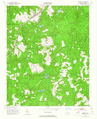
1949 Map of Marston
USGS Topo · Published 1953About this map
The Seaboard Air Line railroad cuts diagonally across this 1949 landscape, linking the small communities of Marston and Cognac. This area, situated along the border of Richmond and Scotland counties, is defined by its extensive network of creeks and man-made impoundments. The geography shows a clear pattern of small-scale water management, with features like McLeods Lake, Gum Swamp Lake, and Crawford Lake punctuating the drainage of Mill Creek and Tuckahoe Creek.
Find a feature on this map
32 named features on this map. Tap any name to fly to it.
Don’t see what you’re looking for? This feature index may not catch every label — zoom into the map to look around manually.
Map Details
Editions of this 1949 Marston Map
4 editions found
Other maps of this area

1942 · Troy
USGS Topo · 1:125,000

1942 · Rockingham
USGS Topo · 1:125,000

1948 · Southern Pines
USGS Topo · 1:62,500

1948 · Pinebluff
USGS Topo · 1:24,000

1949 · Gibson
USGS Topo · 1:24,000

1949 · Millstone Lake
USGS Topo · 1:24,000

1949 · Ghio
USGS Topo · 1:24,000

1949 · Laurinburg
USGS Topo · 1:24,000

1949 · Silver Hill
USGS Topo · 1:24,000

1949 · Hoffman
USGS Topo · 1:24,000