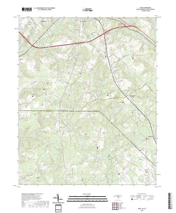
1949 Map of Ghio
USGS Topo · Published 1983About this map
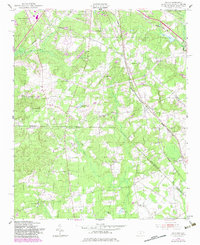
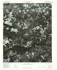
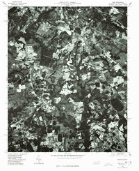
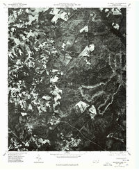
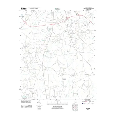
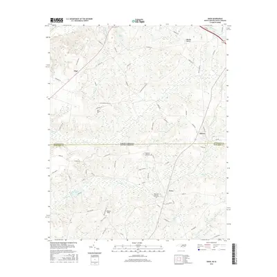
Ghio and several smaller agricultural settlements sit at the crossroads of the Carolinas border during this mid-century survey. The landscape is defined by its rural social infrastructure, with numerous family and community landmarks like Aarons Temple, Spring Hill Ch, and Waymon Chapel Cem anchoring the local geography. These community hubs supported a population living between the Seaboard Coast Line railroad and the natural drainage of Crooked Creek and Lightwood Knot Creek.
Find a feature on this map
46 named features on this map. Tap any name to fly to it.
Don’t see what you’re looking for? This feature index may not catch every label — zoom into the map to look around manually.
Map Details
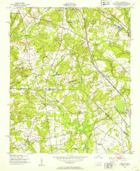
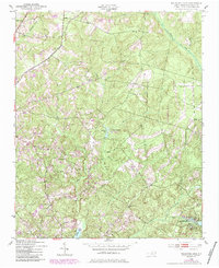
Editions of this 1949 Ghio Map
2 editions found
Historical Maps of Hamlet Through Time
21 maps found
1949 Ghio
Richmond County, NC
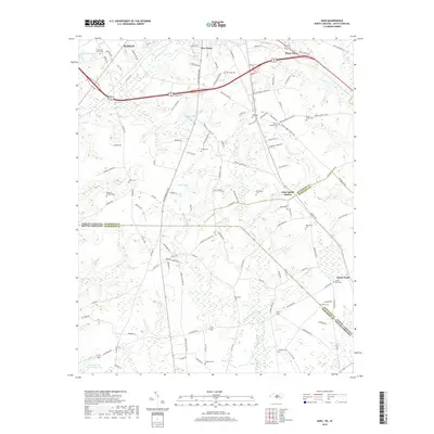
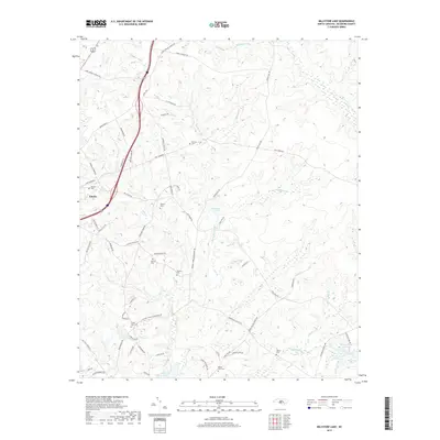
1949 Millstone Lake
Richmond County, NC
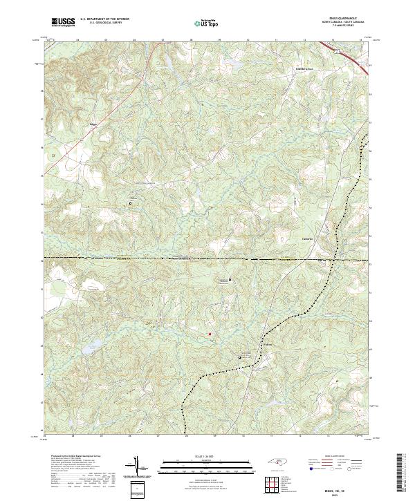
1971 Diggs
Richmond County, NC
1976 Diggs
Richmond County, NC
1976 Ghio
Richmond County, NC
1976 Millstone Lake
Richmond County, NC
2010 Millstone Lake
Richmond County, NC

2011 Diggs
Richmond County, NC
2011 Ghio
Richmond County, NC
2013 Diggs
Richmond County, NC
2013 Ghio
Richmond County, NC
2013 Millstone Lake
Richmond County, NC
2016 Diggs
Richmond County, NC
2016 Ghio
Richmond County, NC
2016 Millstone Lake
Richmond County, NC
2019 Diggs
Richmond County, NC
2019 Ghio
Richmond County, NC
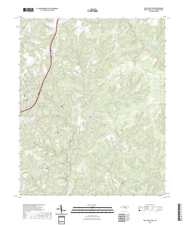
2019 Millstone Lake
Richmond County, NC
2022 Diggs
Richmond County, NC
2022 Ghio
Richmond County, NC
2022 Millstone Lake
Richmond County, NC