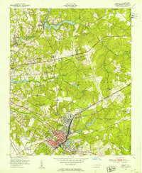
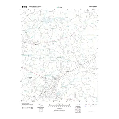
1949 Map of Hamlet
USGS Topo · Published 1953About this map
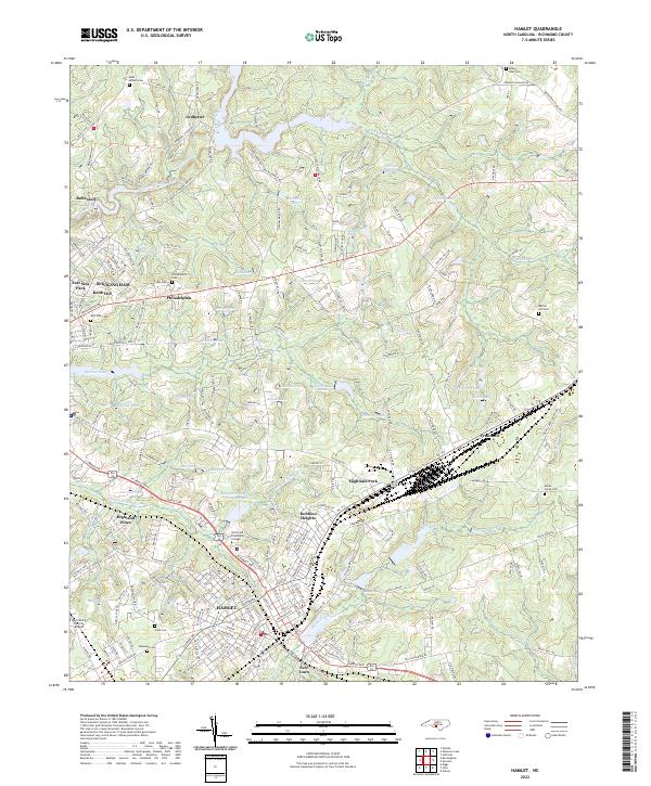
The railroad town of Hamlet serves as the focal point of this 1949 survey, revealing a dense network of tracks belonging to the Seaboard Air Line. This transportation hub is surrounded by a mix of emerging residential developments like North Hamlet, Highland Park, and East Highland. The landscape is characterized by its numerous water bodies and mill ponds, including Ledbetter Pond and Gibson Mill Pond, which likely supported local industry and agriculture before the mid-century expansion.
Find a feature on this map
62 named features on this map. Tap any name to fly to it.
Don’t see what you’re looking for? This feature index may not catch every label — zoom into the map to look around manually.
Map Details
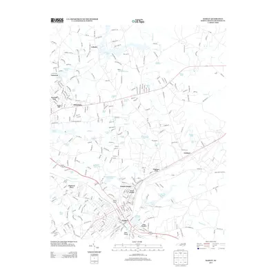
Editions of this 1949 Hamlet Map
This is the sole edition of this map. No revisions or reprints were ever made.
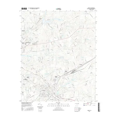
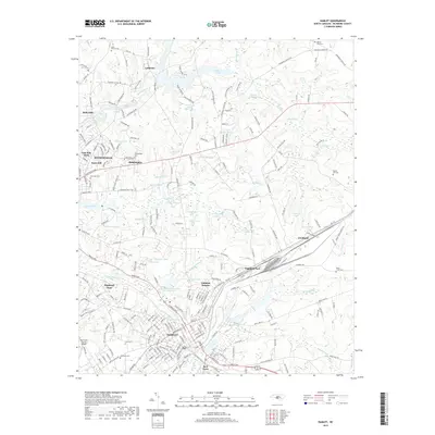
Historical Maps of Rockingham Through Time
10 maps found
1949 Hamlet
Richmond County, NC
1949 Hamlet
Richmond County, NC
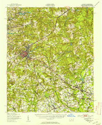
1957 Hamlet
Richmond County, NC

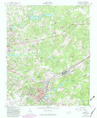
1976 Hamlet
Richmond County, NC
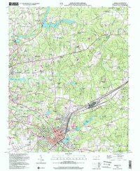
2002 Hamlet
Richmond County, NC
2010 Hamlet
Richmond County, NC
2013 Hamlet
Richmond County, NC
2016 Hamlet
Richmond County, NC
2019 Hamlet
Richmond County, NC
2022 Hamlet
Richmond County, NC