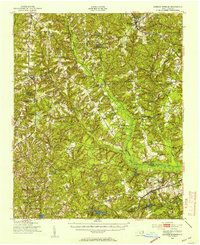
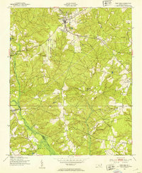
1949 Map of Jackson Springs
USGS Topo · Published 1954About this map
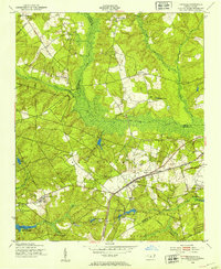
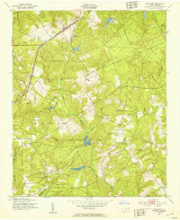
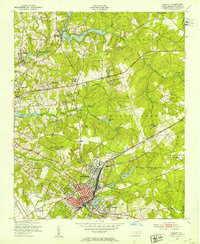
The rolling Sandhills of Moore and Richmond counties define this landscape, anchored by the community of Jackson Springs. In the years following World War II, the southern portion of the area is dominated by the Camp Mackall Military Reservation, established just years prior to this survey. The region's transport network is shaped by the Seaboard Air Line and Norfolk Southern railroads, which connect agricultural and timber hubs like Hoffman and West End. The abundance of managed water resources is evident in the numerous impoundments such as McKinney Lake and Millstone Lake, supporting the local Fish Hatchery and Game Farm. Dozens of local landmarks, including the Morrison Training Sch, Wind Blow, and various rural congregations like Taylor Memorial Ch and St Johns Ch, provide a window into the established social fabric of the era.
Find a feature on this map
69 named features on this map. Tap any name to fly to it.
Don’t see what you’re looking for? This feature index may not catch every label — zoom into the map to look around manually.
Map Details
Editions of this 1949 Jackson Springs Map
This is the sole edition of this map. No revisions or reprints were ever made.
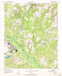
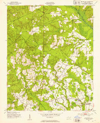
Other maps of this area

1942 · Troy
USGS Topo · 1:125,000

1942 · Rockingham
USGS Topo · 1:125,000

1948 · Southern Pines
USGS Topo · 1:62,500
1948 · Pinebluff
USGS Topo · 1:24,000
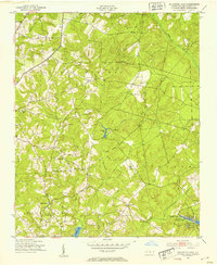
1949 · Millstone Lake
USGS Topo · 1:24,000
1949 · Silver Hill
USGS Topo · 1:24,000
1949 · West End
USGS Topo · 1:24,000
1949 · Hoffman
USGS Topo · 1:24,000
1949 · Marston
USGS Topo · 1:24,000
1949 · Hamlet
USGS Topo · 1:24,000