
1949 Map of West End
USGS Topo · Published 1953About this map
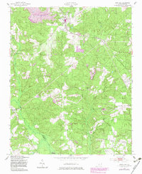
West End sits at the nexus of the Norfolk Southern rail line and local commerce in the mid-century Sandhills. This 1949 survey highlights a landscape defined by its rural community hubs, such as Edgewood Terrace and the leisure area around Von Canon Lake, which includes a dedicated Swimming Pool. The map documents a spiritual and social network rooted in local congregations like Beulah Hill Ch, McDonalds Chapel, and Deep Creek Ch.
Find a feature on this map
27 named features on this map. Tap any name to fly to it.
Don’t see what you’re looking for? This feature index may not catch every label — zoom into the map to look around manually.
Map Details
Editions of this 1949 West End Map
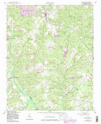
3 editions found
Other maps of this area

1942 · Troy
USGS Topo · 1:125,000

1948 · Southern Pines
USGS Topo · 1:62,500

1948 · Pinebluff
USGS Topo · 1:24,000

1949 · Millstone Lake
USGS Topo · 1:24,000

1949 · Hoffman
USGS Topo · 1:24,000

1949 · Jackson Springs
USGS Topo · 1:62,500

1950 · Pine Bluff
USGS Topo · 1:24,000

1950 · Southern Pines
USGS Topo · 1:24,000

1950 · Norman
USGS Topo · 1:24,000

1953 · Raleigh
USGS Topo · 1:250,000