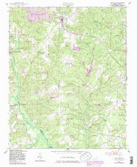
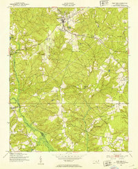
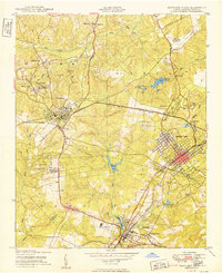
1949 Map of West End
USGS Topo · Published 1983About this map
West End serves as a primary rail hub along the Norfolk Southern line in the Moore County countryside, surrounded by established community landmarks and sprawling conservation areas. The landscape is defined by the headwaters of Drowning Creek and Sandy Run, with the Sandhills Game Land occupying a significant portion of the southern territory. Local life is anchored by several rural spiritual centers, including Beulah Hill Ch and McDonalds Chapel, while the settlement of Jackson Springs sits further west among the ridges. A notable 1980s-era update to this mid-century survey indicates the planned creation of Arman Lake, showing purple-hatched areas destined to be submerged as water management transformed the local topography. This overlay provides a specific view of the transition from a traditional creek-fed basin to a landscape shaped by planned reservoirs.
Find a feature on this map
19 named features on this map. Tap any name to fly to it.
Don’t see what you’re looking for? This feature index may not catch every label — zoom into the map to look around manually.
Map Details
Editions of this 1949 West End Map
3 editions found
Other maps of this area

1942 · Troy
USGS Topo · 1:125,000

1948 · Southern Pines
USGS Topo · 1:62,500
1948 · Pinebluff
USGS Topo · 1:24,000
1949 · Millstone Lake
USGS Topo · 1:24,000
1949 · West End
USGS Topo · 1:24,000
1949 · Hoffman
USGS Topo · 1:24,000
1949 · Jackson Springs
USGS Topo · 1:62,500
1950 · Pine Bluff
USGS Topo · 1:24,000
1950 · Southern Pines
USGS Topo · 1:24,000
1950 · Norman
USGS Topo · 1:24,000