Old Maps of Seven Lakes, North Carolina
Explore 19 old maps of Seven Lakes, spanning from 1942 to today. These high-resolution historic maps reveal how streets, neighborhoods, landmarks, and natural features evolved over time — perfect for genealogy, metal detecting, research, and local history exploration.
What you can do with these maps:
- See how Seven Lakes changed over time: Compare historical maps to modern-day views to trace roads, homesites, rail lines & more.
- View detailed metadata: Each map includes creators, publishers, year, scale, and archive source.
- Overlay maps with satellite & LiDAR: Visualize the past alongside modern tools to explore terrain & human change.
- Trusted historical sources: Maps sourced from the USGS, Library of Congress, and other archives.
- Access maps your way: View online, download high-res files, or order prints for personal or research use.
Start exploring old maps of Seven Lakes to uncover forgotten places, hidden landmarks, and the deep history beneath your feet.
Seven Lakes, NC maps
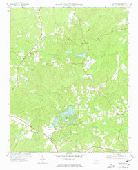
(19)- 1942 Map of Troy
 1942 Troy1942 Print · USGSMid-century central North Carolina comes alive through this 1940s survey of the rail-linked towns between the Uwharrie hills and the Sandhills. Trace the historic Norfolk Southern line through Troy, Star, and Biscoe, or locate the Morrison Training School and local springs.
 - 1949 Map of West End, 1953 Print
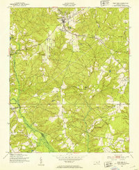 1949 West End1953 Print · USGSMoore County at the close of the 1940s reveals a landscape of growing residential pockets and established rail corridors. Genealogists and historians can trace community roots through the West End settlement, local churches like McDonalds Chapel, and the historic Jackson Springs area.3 unique versions available
 - 1949 Map of Jackson Springs, 1954 Print
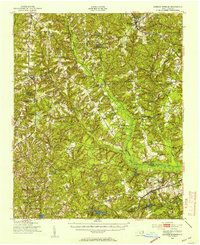 1949 Jackson Springs1954 Print · USGSThe North Carolina Sandhills were undergoing a transition in the late 1940s as military footprints expanded alongside rural farming communities. Genealogists and historians can trace the foundations of Camp Mackall and find local landmarks like the Morrison Training Sch and Jackson Springs.
 - 1953 Map of Raleigh, 1965 Print
 1953 Raleigh1965 Print · USGSCentral North Carolina in the early sixties shows a landscape of growing towns and military hubs before the full expansion of the interstate system. Genealogists can trace family footprints across the Piedmont through Wake Forest, Siler City, and the large Fort Bragg Military Reservation.4 unique versions available
 - 1954 Map of Raleigh
 1954 Raleigh1954 Print · USGSThe North Carolina Piedmont and Sandhills are captured in the mid-fifties during a period of steady regional growth. Genealogists and historians can trace the development of towns like Siler City or locate landmarks such as Falls of Neuse and Camp Mackall.
 - 1957 Map of Jackson Springs, 1961 Print
 1957 Jackson Springs1961 Print · USGSMoore and Richmond counties in the late 1950s reflect a mix of military presence and quiet rural life. Researchers can trace families near Jackson Springs, locate the old Hoffman High Sch, or find rural landmarks like Marcus Grove Ch and Millstone Lake.
 - 1976 Map of West End
 1976 West End1976 Print · USGSMoore County's sandhills region is seen here in the mid-seventies, showing the intersection of agricultural clearings and dense woodland. Researchers can trace the exact layout of settlements like West End and Jackson Springs or the path of Drowning Creek.
 - 1977 Map of Zion Grove, 1978 Print
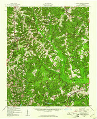
 1977 Zion Grove1978 Print · USGSMoore County in the late 1970s shows a landscape of traditional rail-side settlements and emerging lakefront developments. Trace family roots and local landmarks from Zion Grove and Eagle Springs to the Mt Carmel Ch and the West End Sch.2 unique versions available
 - 1982 Map of Southern Pines, 1983 Print
 1982 Southern Pines1983 Print · USGSCentral North Carolina in the early eighties shows a landscape defined by military expansion and historic rail corridors. Researchers can trace the legacy of the Seaboard Coast Line through Pinehurst or locate landmarks like the Town Creek Indian Mound State Historic Site.
 - 2010 Map of West End, 2010 Print
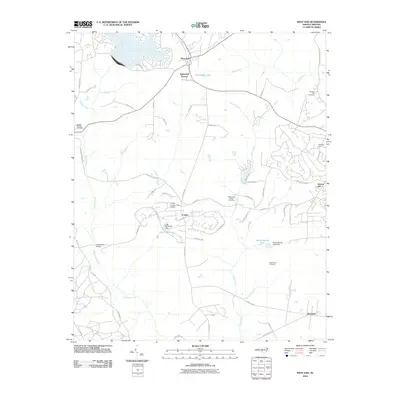 2010 West End2010 Print · USGSCovers Seven Lakes, including Pinehurst, Taylortown, and other nearby areas
 - 2010 Map of Zion Grove, 2010 Print
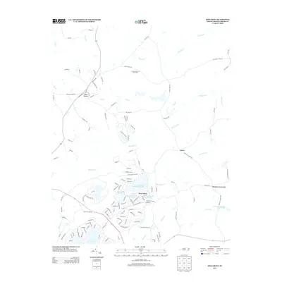
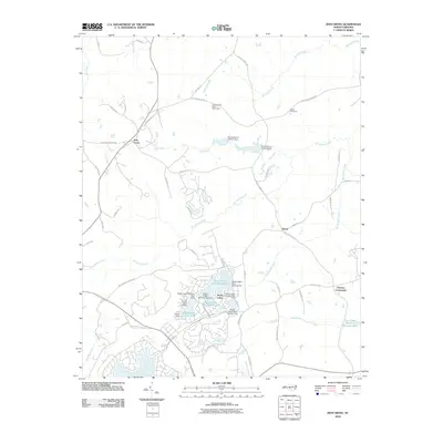 2010 Zion Grove2010 Print · USGSCovers Seven Lakes, including Harris, Thomas Crossroads, and other nearby areas
 - 2013 Map of West End, 2013 Print
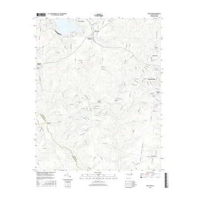
 2013 West End2013 Print · USGSCovers Seven Lakes, including Pinehurst, Taylortown, and other nearby areas
 - 2013 Map of Zion Grove, 2013 Print
 2013 Zion Grove2013 Print · USGSCovers Seven Lakes, including Harris, Thomas Crossroads, and other nearby areas
 - 2016 Map of Zion Grove, 2016 Print
 2016 Zion Grove2016 Print · USGSCovers Seven Lakes, including Harris, Thomas Crossroads, and other nearby areas
 - 2016 Map of West End, 2016 Print
 2016 West End2016 Print · USGSCovers Seven Lakes, including Pinehurst, Taylortown, and other nearby areas
 - 2019 Map of Zion Grove, 2019 Print
 2019 Zion Grove2019 Print · USGSCovers Seven Lakes, including Harris, Thomas Crossroads, and other nearby areas
 - 2019 Map of West End, 2019 Print
 2019 West End2019 Print · USGSCovers Seven Lakes, including Pinehurst, Taylortown, and other nearby areas
 - 2022 Map of West End, 2022 Print
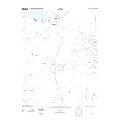
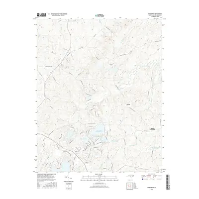
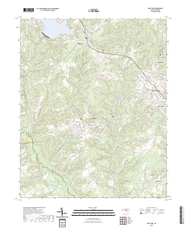 2022 West End2022 Print · USGSThe Moore County Sandhills are captured here in the early twenty-first century, showing the growth of West End and Pinehurst. Trace local family history at Jackson Springs Cem or follow the waters of Drowning Creek.
 - 2022 Map of Zion Grove, 2022 Print
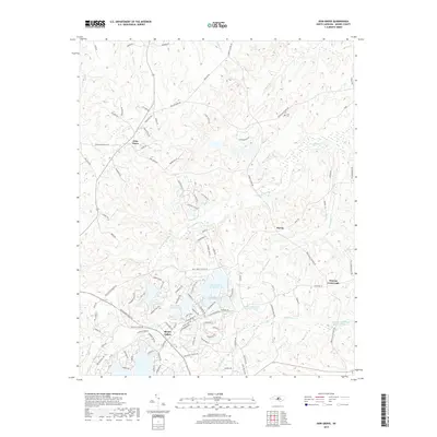
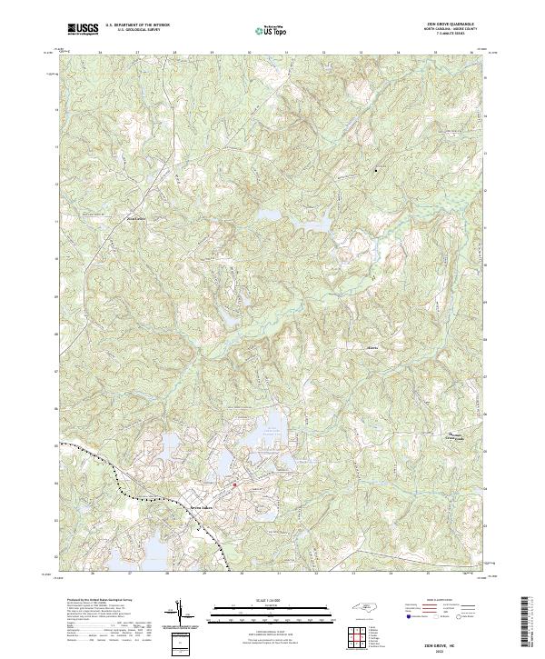 2022 Zion Grove2022 Print · USGSMoore County in the early twenty-first century reveals a landscape shaped by both traditional rural crossroads and modern lakeside communities. Genealogists and local historians can trace the areas around Zion Grove and Harris, or locate family sites near Scott Cem and the Little River.
End of results
Showing maps 1-19 of 19
Top cities near Seven Lakes
- Pinehurst historical maps
- Southern Pines historical maps
- Aberdeen historical maps
- Whispering Pines historical maps
- Carthage historical maps
- Biscoe historical maps
See more
Frequently asked questions
- What are the different types of historical maps available for Seven Lakes?
- What is the oldest map of Seven Lakes?
- Where can I purchase historical maps of Seven Lakes for my home or office?
- Where can I download high-res historical maps of Seven Lakes?
- Are there historical topographic maps available for Seven Lakes?
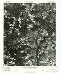
- Is there historical aerial imagery available for Seven Lakes?
- Where are historical maps of Seven Lakes sourced from?