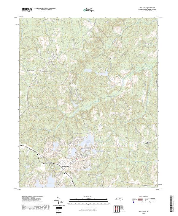
2022 Map of Zion Grove
USGS Topo · Published 2022About this map
The community of Seven Lakes serves as a modern focal point in this portion of Moore County, characterized by a series of engineered water bodies including Seven Lakes Lake Number Two, Seven Lakes Lake Number Three, and Seven Lakes Lake Number Four. The landscape is defined by the headwaters and tributaries of several significant watercourses, such as the Little River, McLendons Cr, and Richland Cr, which carve through the terrain. Traditional rural settlements like Zion Grove, Harris, and Thomas Crossroads are linked by a network of historical transit routes, including Bensalem Church Rd and Bethlehem Church Rd. This survey documents a transition in land use, where established agricultural and timber landscapes represented by features like Fire Tower Rd meet the concentrated residential development surrounding the artificial lakes. Local history is anchored by markers such as Scott Cem, situated near the northern reaches of the quadrangle.
Find a feature on this map
108 named features on this map. Tap any name to fly to it.
Don’t see what you’re looking for? This feature index may not catch every label — zoom into the map to look around manually.
Map Details
Editions of this 2022 Zion Grove Map
This is the sole edition of this map. No revisions or reprints were ever made.
Other maps of this area

1942 · Troy
USGS Topo · 1:125,000

1948 · Southern Pines
USGS Topo · 1:62,500

1949 · West End
USGS Topo · 1:24,000

1949 · Jackson Springs
USGS Topo · 1:62,500

1950 · Southern Pines
USGS Topo · 1:24,000

1950 · Norman
USGS Topo · 1:24,000

1953 · Raleigh
USGS Topo · 1:250,000

1954 · Raleigh
USGS Topo · 1:250,000

1957 · Southern Pines
USGS Topo · 1:62,500
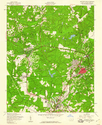
1957 · Southern Pines
USGS Topo · 1:24,000