
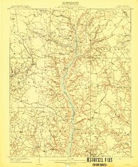
1954 Map of Raleigh
USGS Topo · Published 1954About this map
The North Carolina Piedmont and Sandhills regions are extensively detailed in this 1953 study, showing the mid-century expansion of the Research Triangle and the military footprint of the Sandhills. Raleigh, Durham, and Chapel Hill anchor the northern section, while the southern portion is dominated by the expansive Fort Bragg Military Reservation, Pope Air Force Base, and Camp Mackall. The landscape is a complex network of river systems, including the Neuse River and Cape Fear River, interspersed with numerous reservoirs like Lake Tillery and Badin Lake along the Yadkin River in the west.
Find a feature on this map
199 named features on this map. Tap any name to fly to it.
Don’t see what you’re looking for? This feature index may not catch every label — zoom into the map to look around manually.
Map Details
Editions of this 1954 Raleigh Map
This is the sole edition of this map. No revisions or reprints were ever made.
Other maps of this area

1902 · Kenly
USGS Topo · 1:62,500

1902 · Rocky Mount
USGS Topo · 1:62,500

1902 · Spring Hope
USGS Topo · 1:62,500

1903 · Kenly
USGS Topo · 1:62,500

1904 · Rocky Mount
USGS Topo · 1:62,500

1904 · Springhope
USGS Topo · 1:62,500

1904 · Wilson
USGS Topo · 1:62,500

1906 · Four Oaks
USGS Topo · 1:48,000

1908 · Four Oaks
USGS Topo · 1:62,500
1909 · Coharie
USGS Topo · 1:62,500