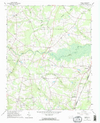
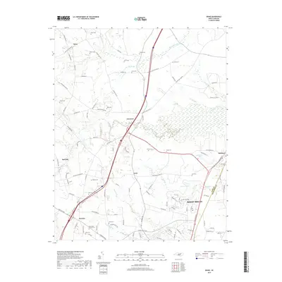
1904 Map of Springhope
USGS Topo · Published 1942About this map
The Tar River winds through this 1902 survey of Nash County, anchoring a landscape defined by small agricultural settlements and a burgeoning rail network. The Springhope township serves as a central hub, where the Atlantic Coast Line R. R. facilitates the movement of goods and people across the region. The map reveals a dense network of local crossroads that once formed the backbone of community life, including Lamm Crossroads, Gold Valley Crossroads, Frazier Crossroads, and Taylor Crossroads.
Find a feature on this map
58 named features on this map. Tap any name to fly to it.
Don’t see what you’re looking for? This feature index may not catch every label — zoom into the map to look around manually.
Map Details
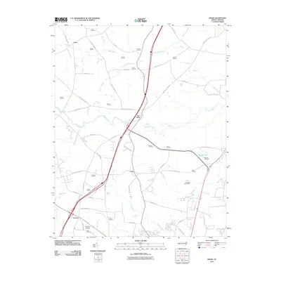
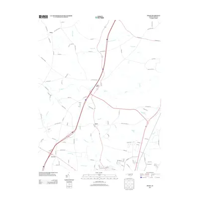
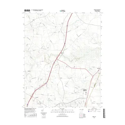
Editions of this 1904 Springhope Map
This is the sole edition of this map. No revisions or reprints were ever made.
Historical Maps of Wilson Through Time
7 maps found