Old Maps of Bunn, North Carolina
Explore 19 old maps of Bunn, spanning from 1902 to today. These high-resolution historic maps reveal how streets, neighborhoods, landmarks, and natural features evolved over time — perfect for genealogy, metal detecting, research, and local history exploration.
What you can do with these maps:
- See how Bunn changed over time: Compare historical maps to modern-day views to trace roads, homesites, rail lines & more.
- View detailed metadata: Each map includes creators, publishers, year, scale, and archive source.
- Overlay maps with satellite & LiDAR: Visualize the past alongside modern tools to explore terrain & human change.
- Trusted historical sources: Maps sourced from the USGS, Library of Congress, and other archives.
- Access maps your way: View online, download high-res files, or order prints for personal or research use.
Start exploring old maps of Bunn to uncover forgotten places, hidden landmarks, and the deep history beneath your feet.
Bunn, NC maps
(19)- 1902 Map of Spring Hope, 1965 Print
 1902 Spring Hope1965 Print · USGSNash and Franklin Counties are seen here at the turn of the century as a landscape of river-bend settlements and railroad progress. Researchers can trace ancestral roots through family-named landmarks like Lamm Crossroads, Lee Chapel, and Pine Ridge Schoolhouse.
 - 1904 Map of Springhope, 1942 Print
 1904 Springhope1942 Print · USGSNash County at the turn of the century shows a rural landscape connected by the Atlantic Coast Line R. R. and the winding Tar River. Researchers can trace ancestral locations at Lamm Crossroads, Whiteoak Church, and the Pine Ridge Schoolhouse.
 - 1953 Map of Raleigh, 1965 Print
 1953 Raleigh1965 Print · USGSCentral North Carolina in the early sixties shows a landscape of growing towns and military hubs before the full expansion of the interstate system. Genealogists can trace family footprints across the Piedmont through Wake Forest, Siler City, and the large Fort Bragg Military Reservation.4 unique versions available
 - 1954 Map of Raleigh
 1954 Raleigh1954 Print · USGSThe North Carolina Piedmont and Sandhills are captured in the mid-fifties during a period of steady regional growth. Genealogists and historians can trace the development of towns like Siler City or locate landmarks such as Falls of Neuse and Camp Mackall.
 - 1968 Map of Bunn West, 1972 Print
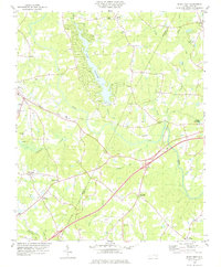
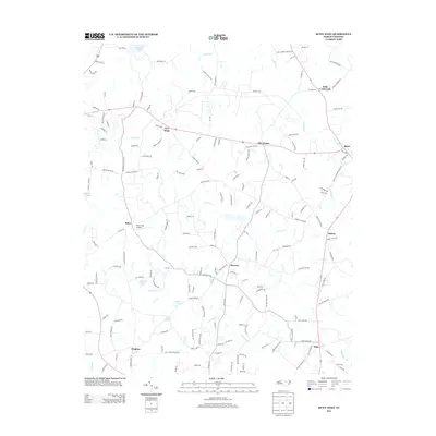
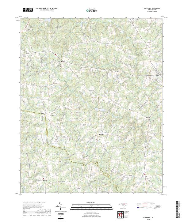
 1968 Bunn West1972 Print · USGSThe Franklin and Wake county line in the late sixties reveals a landscape of small farming communities and country crossroads. Genealogists can trace family names through landmarks like Union Gospel Tabernacle or the rural settlements of Pearces and New Hope.2 unique versions available
 - 1978 Map of Bunn East
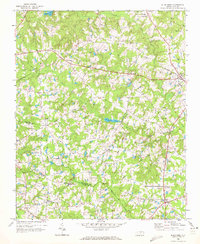
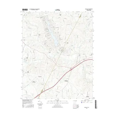
 1978 Bunn East1978 Print · USGSEastern Franklin and western Nash counties are captured here in the late seventies, showing a landscape defined by the Tar River. Genealogists and historians can locate rural communities like Seven Paths, Daddysville, and Pine Ridge, alongside numerous country churches and cemeteries.
 - 1984 Map of Raleigh, 1985 Print
 1984 Raleigh1985 Print · USGSThe North Carolina Research Triangle is shown during a decade of rapid growth, from the sprawl of Raleigh to the expanding waters of Falls Lake. Genealogists and historians can trace rail lines like the Seaboard Coast Line or locate landmark sites like Dorothea Dix State Hospital and Fuquay-Varina.
 - 1990 Map of Raleigh, 1991 Print
 1990 Raleigh1991 Print · USGSGreater Raleigh and the Research Triangle entered a period of significant suburban growth during the 1990s. Researchers can trace the development of towns like Fuquay-Varina and Wake Forest or locate landmarks such as the State Prison and Harris Reservoir.2 unique versions available
 - 1998 Map of Bunn West, 2000 Print
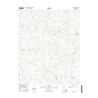
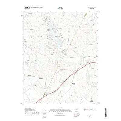
 1998 Bunn West2000 Print · USGSFranklin and Wake counties at the end of the century reflect a landscape of deep-rooted rural communities and traditional land use. Genealogists and historians can trace family locations near Hopkins, locate rural landmarks like Phelps Chapel, or follow the Old Railroad Grade.
 - 2010 Map of Bunn West, 2010 Print
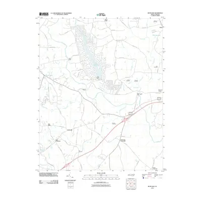
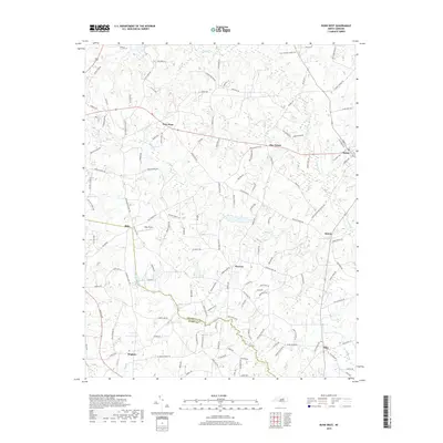
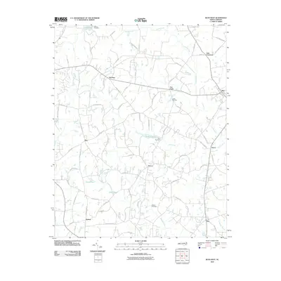 2010 Bunn West2010 Print · USGSCovers Bunn, including Pearces, Halls Crossroads, and other nearby areas
 - 2010 Map of Bunn East, 2010 Print
 2010 Bunn East2010 Print · USGSCovers Bunn, including Seven Paths, Daddysville, and other nearby areas
 - 2013 Map of Bunn East, 2013 Print
 2013 Bunn East2013 Print · USGSCovers Bunn, including Seven Paths, Daddysville, and other nearby areas
 - 2013 Map of Bunn West, 2013 Print
 2013 Bunn West2013 Print · USGSCovers Bunn, including Pearces, Halls Crossroads, and other nearby areas
 - 2016 Map of Bunn West, 2016 Print
 2016 Bunn West2016 Print · USGSCovers Bunn, including Pearces, Halls Crossroads, and other nearby areas
 - 2016 Map of Bunn East, 2016 Print
 2016 Bunn East2016 Print · USGSCovers Bunn, including Seven Paths, Daddysville, and other nearby areas
 - 2019 Map of Bunn East, 2019 Print
 2019 Bunn East2019 Print · USGSCovers Bunn, including Seven Paths, Daddysville, and other nearby areas
 - 2019 Map of Bunn West, 2019 Print
 2019 Bunn West2019 Print · USGSCovers Bunn, including Pearces, Halls Crossroads, and other nearby areas
 - 2022 Map of Bunn West, 2022 Print
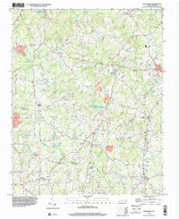
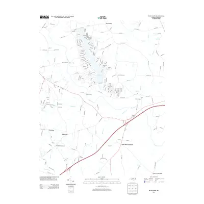
 2022 Bunn West2022 Print · USGSFranklin and Wake counties at the start of the 2020s show a landscape of traditional crossroads and rural water ways. Genealogists and local researchers can trace family landmarks like Pearces, Riley, and Dukes Lake along the banks of Moccasin Cr.
 - 2023 Map of Bunn East, 2023 Print
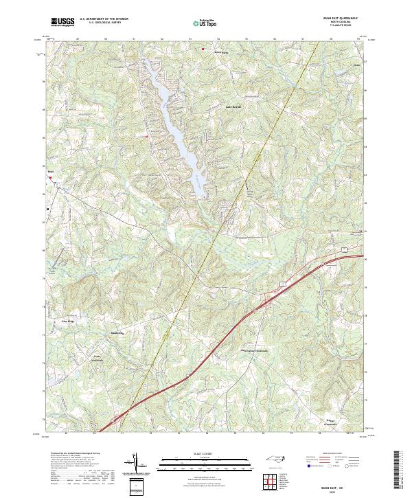 2023 Bunn East2023 Print · USGSFranklin and Nash counties come alive in this recent survey, showcasing the developed shoreline of Lake Royale alongside traditional rural crossroads. Trace local family history and transit patterns through sites like Daddysville, Hunts, and the Spring Hope Memorial Cem.
End of results
Showing maps 1-19 of 19
Top cities near Bunn
- Raleigh historical maps
- Wilson historical maps
- Wake Forest historical maps
- Wendell historical maps
- Zebulon historical maps
- Knightdale historical maps
See more
Frequently asked questions
- What are the different types of historical maps available for Bunn?
- What is the oldest map of Bunn?
- Where can I purchase historical maps of Bunn for my home or office?
- Where can I download high-res historical maps of Bunn?
- Are there historical topographic maps available for Bunn?
- Is there historical aerial imagery available for Bunn?
- Where are historical maps of Bunn sourced from?