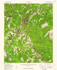
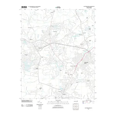
1957 Map of Southern Pines
USGS Topo · Published 1960About this map
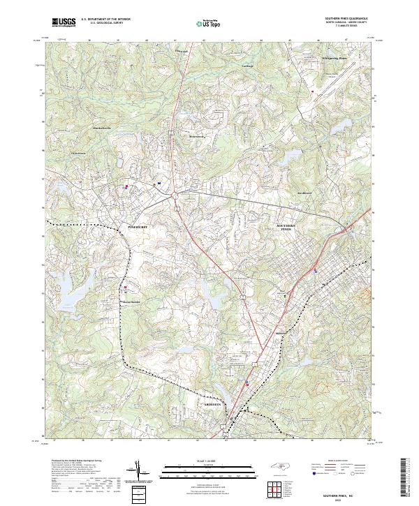
Southern Pines and the renowned golfing community of Pinehurst anchor this mid-century survey of the North Carolina Sand Hills. The map documents a period of significant military presence and institutional development, with the sprawling Fort Bragg Military Reservation dominating the east and Camp Mackall Military Reservation to the south. Transportation networks are well-defined by the Seaboard Air Line and Norfolk Southern railroads, which converge near the industrial and rail hub of Aberdeen.
Find a feature on this map
80 named features on this map. Tap any name to fly to it.
Don’t see what you’re looking for? This feature index may not catch every label — zoom into the map to look around manually.
Map Details
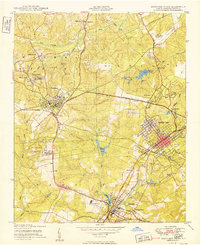
Editions of this 1957 Southern Pines Map
This is the sole edition of this map. No revisions or reprints were ever made.
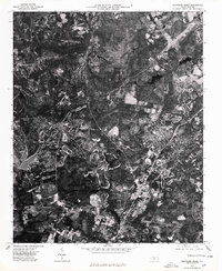
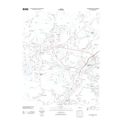
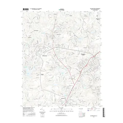
Historical Maps of Pinehurst Through Time
11 maps found

1948 Southern Pines
Moore County, NC
1950 Southern Pines
Moore County, NC
1957 Southern Pines
Moore County, NC
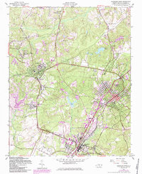
1957 Southern Pines
Moore County, NC
1976 Southern Pines
Moore County, NC

1982 Southern Pines
Moore County, NC
2010 Southern Pines
Moore County, NC
2013 Southern Pines
Moore County, NC
2016 Southern Pines
Moore County, NC
2019 Southern Pines
Moore County, NC
2022 Southern Pines
Moore County, NC