
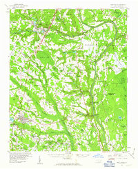
1959 Map of Saint Pauls
USGS Topo · Published 1961About this map
Cape Fear River dominates the eastern landscape of this late-fifties survey, carving through a region defined by extensive swamp drainage and scattered rural settlements. The rail-oriented economy of the time is visible through the Atlantic Coast Line and Virginia and Carolina Southern corridors, connecting towns like Saint Pauls and Hope Mills. Many small, family-centric landmarks such as Mallory Ch and Miller Chapel punctuate the landscape between the large elliptical depressions of Gallberry Bay and Burrell Bay. The transition from industrial transport to aviation is noted by the presence of the Fayetteville Municipal Airport in the north, while local agriculture and industry are represented by numerous Gravel Pits and timber-rich swamps like Murphy Swamp. This document captures the mid-century expansion of Cumberland and its neighboring communities before later suburban development altered the rural church and school network.
Find a feature on this map
118 named features on this map. Tap any name to fly to it.
Don’t see what you’re looking for? This feature index may not catch every label — zoom into the map to look around manually.
Map Details
Editions of this 1959 Saint Pauls Map
2 editions found
Other maps of this area

1948 · Fayetteville
USGS Topo · 1:62,500

1948 · Clifdale
USGS Topo · 1:62,500

1948 · Clifdale
USGS Topo · 1:24,000

1949 · Vander
USGS Topo · 1:24,000

1950 · Clifdale
USGS Topo · 1:24,000

1950 · Fayetteville
USGS Topo · 1:24,000

1951 · Clifdale
USGS Topo · 1:62,500

1953 · Florence
USGS Topo · 1:250,000

1953 · Raleigh
USGS Topo · 1:250,000

1954 · Florence
USGS Topo · 1:250,000