2000s (21st Century) Maps of Pope Field, North Carolina
Explore 8 historic maps of Pope Field from the 2000s (21st Century). These maps offer a rare glimpse into what life looked like during the 2000s — showing old roads, neighborhoods, homes, and landmarks that have changed or disappeared over time.
Whether you're researching your family's past, planning a metal detecting trip, or studying how Pope Field's landscape evolved across the 2000s, these high-resolution maps are a powerful tool for exploring the history of this region.
- Focus on a specific era: All maps on this page are from the 2000s, giving you a focused view of this time period.
- See what’s changed: Compare century-old streets, trails, and buildings to today's modern landscape using overlays and satellite layers.
- Research with precision: Use these maps for genealogy, historical research, land use analysis, or educational projects.
- View, download, or print: Maps are fully viewable online in high resolution, and can be downloaded or printed for your own records.
Start exploring Pope Field's history through authentic maps from the 2000s. This is your window into the past.
Pope Field, NC maps
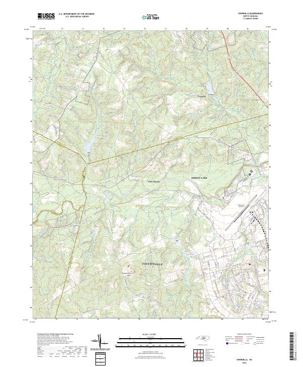
(8)- 2013 Map of Overhills, 2013 Print
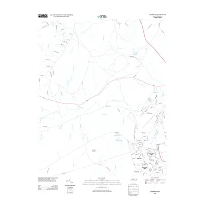 2013 Overhills2013 Print · USGSCovers Pope Field, including Spring Lake, Hammond Hills, and other nearby areas
 - 2013 Map of Manchester, 2013 Print
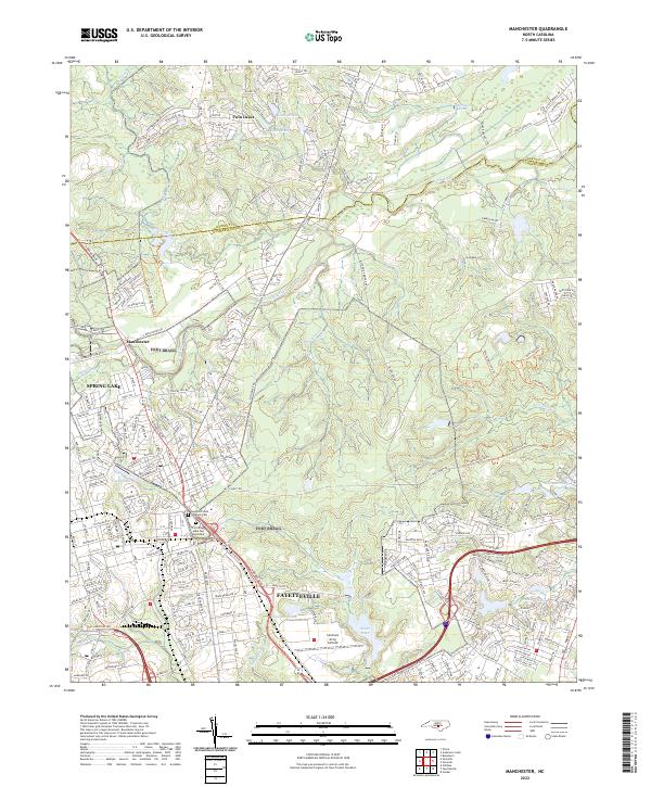
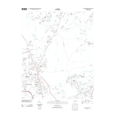 2013 Manchester2013 Print · USGSCovers Pope Field, including Fayetteville, Spring Lake, and other nearby areas
 - 2016 Map of Overhills, 2016 Print
 2016 Overhills2016 Print · USGSCovers Pope Field, including Spring Lake, Hammond Hills, and other nearby areas
 - 2016 Map of Manchester, 2016 Print
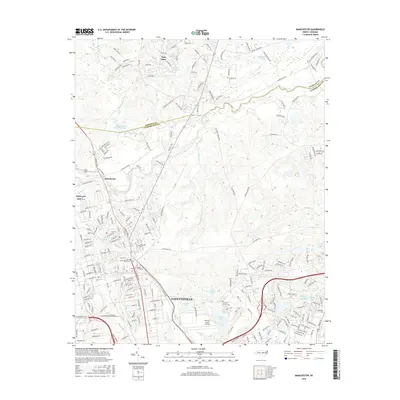 2016 Manchester2016 Print · USGSCovers Pope Field, including Fayetteville, Spring Lake, and other nearby areas
 - 2019 Map of Manchester, 2019 Print
 2019 Manchester2019 Print · USGSCovers Pope Field, including Fayetteville, Spring Lake, and other nearby areas
 - 2019 Map of Overhills, 2019 Print
 2019 Overhills2019 Print · USGSCovers Pope Field, including Spring Lake, Hammond Hills, and other nearby areas
 - 2022 Map of Manchester, 2022 Print
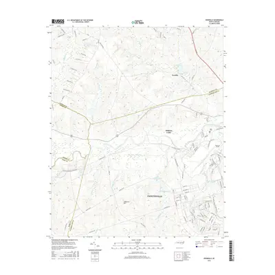
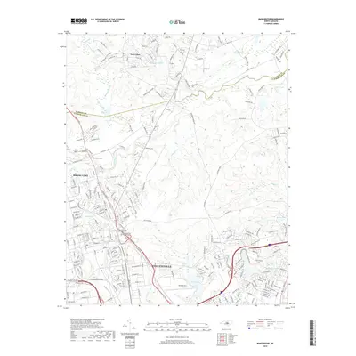
 2022 Manchester2022 Print · USGSCumberland County’s military and civilian life intersect north of Fayetteville in the early 2020s. Researchers can locate family landmarks at the Sandhills State Veterans Cem and trace the development around Spring Lake and Simmons Army Airfield.
 - 2022 Map of Overhills, 2022 Print
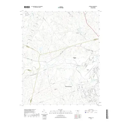
 2022 Overhills2022 Print · USGSThe crossroads where Cumberland, Harnett, Hoke, and Moore counties meet are captured here during a period of steady military and suburban growth. Researchers can trace family names along McRae Ridge Rd or explore the hydrography of McFayden Pond and Pope Army Airfield.
End of results
Showing maps 1-8 of 8
Top cities near Pope Field
- Fayetteville historical maps
- Linden Oaks historical maps
- Hope Mills historical maps
- Spring Lake historical maps
- Raeford historical maps
- Lillington historical maps
See more
Top neighborhoods of Pope Field
Frequently asked questions
- What are the different types of historical maps available for Pope Field?
- What is the oldest map of Pope Field?
- Where can I purchase historical maps of Pope Field for my home or office?
- Where can I download high-res historical maps of Pope Field?
- Are there historical topographic maps available for Pope Field?
- Is there historical aerial imagery available for Pope Field?
- Where are historical maps of Pope Field sourced from?