2020s Maps of Stedman, North Carolina
Explore 2 historic maps of Stedman from the 2020s. These maps offer a rare glimpse into what life looked like during the 2020s — showing old roads, neighborhoods, homes, and landmarks that have changed or disappeared over time.
Whether you're researching your family's past, planning a metal detecting trip, or studying how Stedman's landscape evolved across the 2020s, these high-resolution maps are a powerful tool for exploring the history of this region.
- Focus on a specific era: All maps on this page are from the 2020s, giving you a focused view of this time period.
- See what’s changed: Compare century-old streets, trails, and buildings to today's modern landscape using overlays and satellite layers.
- Research with precision: Use these maps for genealogy, historical research, land use analysis, or educational projects.
- View, download, or print: Maps are fully viewable online in high resolution, and can be downloaded or printed for your own records.
Start exploring Stedman's history through authentic maps from the 2020s. This is your window into the past.
Stedman, NC maps
(2)- 2022 Map of Stedman, 2022 Print
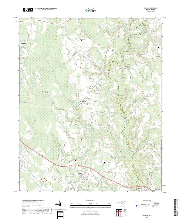 2022 Stedman2022 Print · USGSStedman and its surrounding farming communities are shown during the early 2020s as the landscape transitions across the South River. Trace family roots and local landmarks at Bethany Crossroads, the Fisher Cem, and Maxwell Millpond.
 - 2022 Map of Autryville, 2022 Print
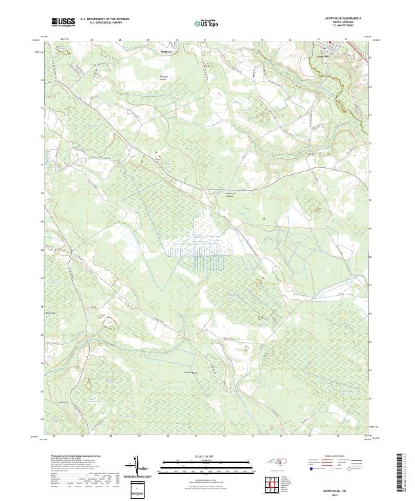 2022 Autryville2022 Print · USGSThe borderlands of Sampson and Cumberland Counties come alive in this survey of Autryville and Stedman during the early 2020s. Genealogists and historians can trace family locations near Simmons Mill Pond, Smiths Mill Bay, and the mysterious terrain of The Pocosin.
End of results
Showing maps 1-2 of 2
Top cities near Stedman
- Fayetteville historical maps
- Hope Mills historical maps
- Roseboro historical maps
- Wade historical maps
- Salemburg historical maps
- Falcon historical maps
See more
Frequently asked questions
- What are the different types of historical maps available for Stedman?
- What is the oldest map of Stedman?
- Where can I purchase historical maps of Stedman for my home or office?
- Where can I download high-res historical maps of Stedman?
- Are there historical topographic maps available for Stedman?
- Is there historical aerial imagery available for Stedman?
- Where are historical maps of Stedman sourced from?