Old Maps of Treyburn, Durham County for Metal Detecting
Plan your next treasure hunt with 34 historic maps of Treyburn. Find old homesites, ghost towns, trails, and gathering spots that may be lost to time — perfect for identifying promising metal detecting locations.
- Locate forgotten sites: Uncover places like long-lost settlements, abandoned rail lines, or gathering spots.
- Plan better hunts: Use map overlays combined with LiDAR or satellite views to narrow in on historically rich areas.
- Made for detectorists: Thousands of hobbyists use these maps to discover relics, coins, and hidden history.
Use these historic maps to boost your research and find new opportunities beneath the surface of Treyburn.
Treyburn, Durham County maps
(34)- 1951 Map of Durham North, 1953 Print
 1951 Durham North1953 Print · USGSThe northern reaches of Durham and Orange Counties are captured here in the early fifties, just as post-war development began to meet the region's agricultural roots. Genealogists can trace family landmarks like the Duke Homestead and rural hubs such as Bahama, Rougemont, and the Orange Factory.3 unique versions available
 - 1953 Map of Greensboro, 1981 Print
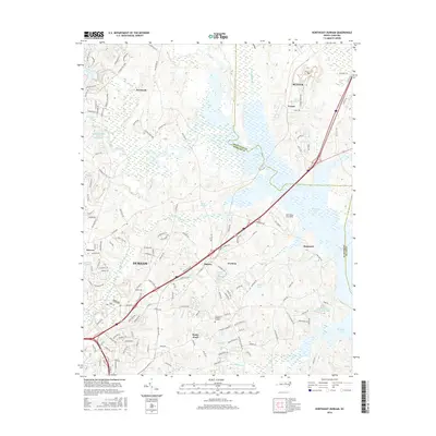
 1953 Greensboro1981 Print · USGSThe Piedmont borderlands of North Carolina and Virginia show a landscape defined by new reservoirs and old rail lines. Trace family roots and the changing river geography through Elon College, the John H Kerr Reservoir, and South Boston.
 - 1954 Map of Greensboro
 1954 Greensboro1954 Print · USGSThe Piedmont borderlands of North Carolina and Virginia come alive in this mid-fifties study of a region defined by its rivers and rails. Researchers can trace the growing Buggs Island Lake or follow the paths of the Southern Ry and Seaboard Air Line RR through towns like Oxford and Reidsville.
 - 1962 Map of Greensboro
 1962 Greensboro1962 Print · USGSThe Piedmont region along the Virginia and North Carolina border comes alive in the early 1960s, showing a landscape defined by industry and new reservoirs. Trace the path of the Virginian RR or explore the early development of Greensboro and Durham.
 - 1966 Map of Greensboro
 1966 Greensboro1966 Print · USGSThe North Carolina and Virginia Piedmont thrives during the mid-sixties, showcasing a landscape of textile hubs and expanding river reservoirs. Researchers can trace the rail corridors of the Southern Railway, find local landmarks like Elon College, or locate the extensive Camp Butner Military Reservation.
 - 1973 Map of Northeast Durham, 1975 Print
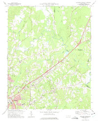 1973 Northeast Durham1975 Print · USGSNortheast of Durham in the early seventies, the landscape was defined by the merging of the Eno and Neuse rivers. Genealogists can trace family names at Oak Grove Memorial Gardens or locate rural landmarks like Gorman, Fairntosh, and Union Chapel.4 unique versions available
 - 1973 Map of Northwest Durham, 1975 Print
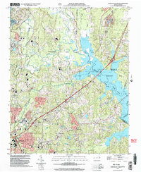
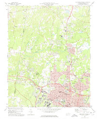 1973 Northwest Durham1975 Print · USGSThe northern edge of Durham and its rural periphery come into focus as the city’s post-war suburbs push toward the Eno River. Researchers can trace the layout of Duke University or locate family markers at McMannen Cem Ch and Cains Chapel Cem.3 unique versions available
 - 1974 Map of Rougemont, 1976 Print
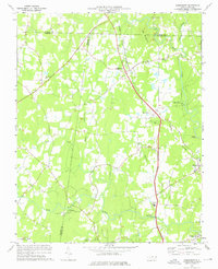 1974 Rougemont1976 Print · USGSIn the mid-seventies, this pocket of the North Carolina Piedmont remained a landscape of railway hamlets and riverside industry. Researchers can trace historic family landmarks from the Orange Factory to rural congregations like Red Mountain Ch and Union Grove Ch.3 unique versions available
 - 1977 Map of Lake Michie
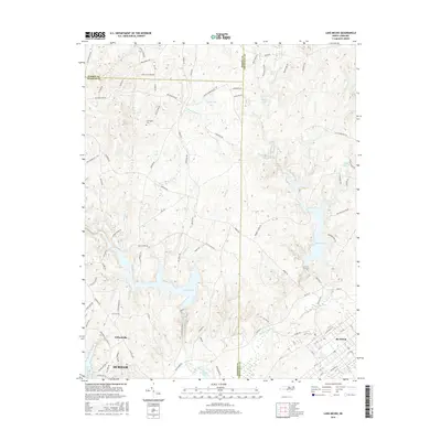
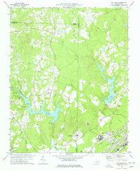 1977 Lake Michie1977 Print · USGSThe Flat River valley in the late seventies reveals a landscape of growing towns and significant public institutions between Durham and Granville. Researchers can trace the footprints of Bahama and Butner, alongside family landmarks like the Carrington Cem and Ellis Chapel.2 unique versions available
 - 1984 Map of Henderson, 1985 Print
 1984 Henderson1985 Print · USGSNorth Carolina’s northern Piedmont comes into focus in the mid-1980s, centered on the crossroads of Henderson and Oxford. Genealogists and historians can trace the paths of the Southern railroad or locate communities near the Camp Butner National Guard Range and John H. Kerr Reservoir.
 - 1991 Map of Henderson
 1991 Henderson1991 Print · USGSThe northern Piedmont and Virginia borderlands come into focus in the early nineties, showing a landscape defined by major reservoirs and growing towns. Trace the rail-and-road connections between Oxford, Henderson, and Durham while exploring the developing shores of Falls Lake.2 unique versions available
 - 1993 Map of Northeast Durham, 1998 Print
 1993 Northeast Durham1998 Print · USGSThe Durham and Granville county line area comes into focus in the early nineties as the Neuse River basin transforms into a recreation hub. Genealogists and local historians can trace family-named sites like Fairntosh, Gorman, and the Oak Grove Mem Gardens Cem.
 - 1993 Map of Northwest Durham, 1998 Print
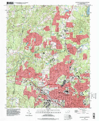 1993 Northwest Durham1998 Print · USGSNorthwest Durham in the early nineties shows a city expanding rapidly toward its river boundaries. Genealogists and researchers can locate neighborhood landmarks like Duke University, Braggtown, and Dukes Chapel amid the winding river forks.
 - 1999 Map of Northeast Durham, 2003 Print
 1999 Northeast Durham2003 Print · USGSThe outskirts of Durham and the newly established recreation areas around Falls Lake are captured here at the end of the century. Trace the growth of communities like Gorman and locate family landmarks including Oak Grove Mem Gardens Cem and Union Chapel.
 - 2010 Map of Northwest Durham, 2010 Print
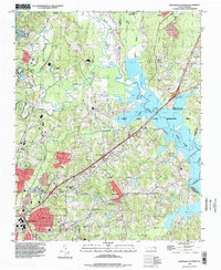
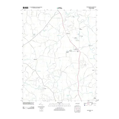
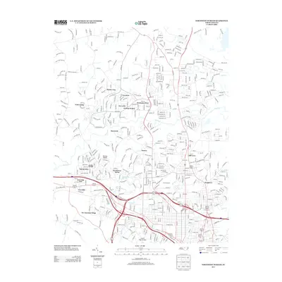
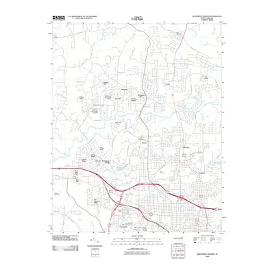 2010 Northwest Durham2010 Print · USGSCovers Treyburn, including Durham, Willow Ridge, and other nearby areas
 - 2010 Map of Rougemont, 2010 Print
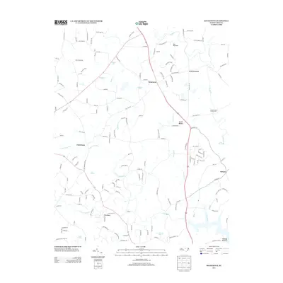
 2010 Rougemont2010 Print · USGSCovers Treyburn, including Rougemont, Fieldstream, and other nearby areas
 - 2010 Map of Lake Michie, 2010 Print
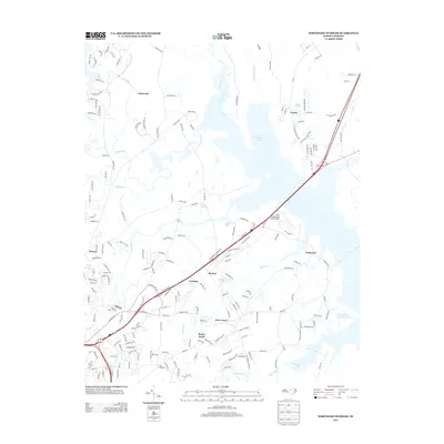
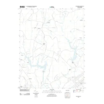 2010 Lake Michie2010 Print · USGSCovers Treyburn, including Durham, Butner, and other nearby areas
 - 2010 Map of Northeast Durham, 2010 Print
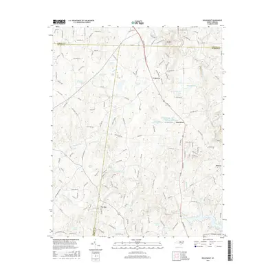
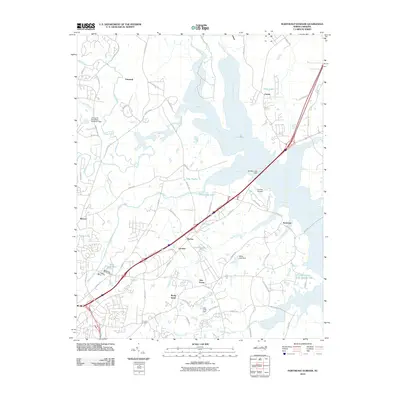 2010 Northeast Durham2010 Print · USGSCovers Treyburn, including Durham, Butner, and other nearby areas
 - 2013 Map of Lake Michie, 2013 Print
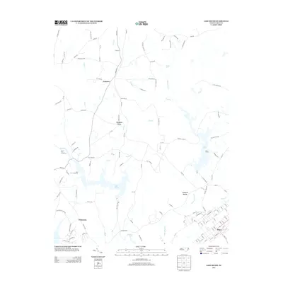 2013 Lake Michie2013 Print · USGSCovers Treyburn, including Durham, Butner, and other nearby areas
 - 2013 Map of Northwest Durham, 2013 Print
 2013 Northwest Durham2013 Print · USGSCovers Treyburn, including Durham, Willow Ridge, and other nearby areas
 - 2013 Map of Northeast Durham, 2013 Print
 2013 Northeast Durham2013 Print · USGSCovers Treyburn, including Durham, Butner, and other nearby areas
 - 2013 Map of Rougemont, 2013 Print
 2013 Rougemont2013 Print · USGSCovers Treyburn, including Rougemont, Fieldstream, and other nearby areas
 - 2016 Map of Rougemont, 2016 Print
 2016 Rougemont2016 Print · USGSCovers Treyburn, including Rougemont, Fieldstream, and other nearby areas
 - 2016 Map of Lake Michie, 2016 Print
 2016 Lake Michie2016 Print · USGSCovers Treyburn, including Durham, Butner, and other nearby areas
 - 2016 Map of Northeast Durham, 2016 Print
 2016 Northeast Durham2016 Print · USGSCovers Treyburn, including Durham, Butner, and other nearby areas
Showing maps 1-25 of 34
Frequently asked questions
- What are the different types of historical maps available for Treyburn?
- What is the oldest map of Treyburn?
- Where can I purchase historical maps of Treyburn for my home or office?
- Where can I download high-res historical maps of Treyburn?
- Are there historical topographic maps available for Treyburn?
- Is there historical aerial imagery available for Treyburn?
- Where are historical maps of Treyburn sourced from?