Old Maps of Macclesfield, North Carolina
Explore 19 old maps of Macclesfield, spanning from 1902 to today. These high-resolution historic maps reveal how streets, neighborhoods, landmarks, and natural features evolved over time — perfect for genealogy, metal detecting, research, and local history exploration.
What you can do with these maps:
- See how Macclesfield changed over time: Compare historical maps to modern-day views to trace roads, homesites, rail lines & more.
- View detailed metadata: Each map includes creators, publishers, year, scale, and archive source.
- Overlay maps with satellite & LiDAR: Visualize the past alongside modern tools to explore terrain & human change.
- Trusted historical sources: Maps sourced from the USGS, Library of Congress, and other archives.
- Access maps your way: View online, download high-res files, or order prints for personal or research use.
Start exploring old maps of Macclesfield to uncover forgotten places, hidden landmarks, and the deep history beneath your feet.
Macclesfield, NC maps
(19)- 1902 Map of Tarboro, 1968 Print
 1902 Tarboro1968 Print · USGSEdgecombe County at the dawn of the twentieth century was a landscape defined by the winding Tar River and the expansion of the Atlantic Coast Line. Genealogists can trace family names at Bullocks Crossroads, locate the old Steamboat Route, or explore early settlements like Pinetops and Princeville.
 - 1903 Map of Tarboro, 1935 Print
 1903 Tarboro1935 Print · USGSCoastal plain life in Edgecombe County at the opening of the century centered on river commerce and emerging rail lines. You can trace early family sites and rural junctions like Wiggins Crossroads, the Steamboat Route on the river, and the mill works along Sasnett Mill Swamp.2 unique versions available
 - 1904 Map of Falkland, 1936 Print
 1904 Falkland1936 Print · USGSCoastal plain life at the turn of the century centered on river landings and swamp-side settlements across Pitt and Greene counties. Genealogists and historians can trace family roots at Fountain P.O., the mills at Harris Millpond, and river traffic at Dupree Ldg.3 unique versions available
 - 1953 Map of Rocky Mount, 1964 Print
 1953 Rocky Mount1964 Print · USGSEastern North Carolina in the mid-fifties is defined by its deep river basins and the vast wetlands of the Tidewater. Genealogists can trace family roots through hubs like Kinston and New Bern or explore the wilderness of Pettigrew State Park and Lake Mattamuskeet.4 unique versions available
 - 1954 Map of Rocky Mount
 1954 Rocky Mount1954 Print · USGSEastern North Carolina is mapped in the mid-fifties, showing a landscape of sounds, swamps, and steam-era rail lines. Genealogists can trace the rural road networks and rail spurs connecting towns like Tarboro, Greenville, and the remote Columbia.
 - 1980 Map of Pinetops, 1981 Print
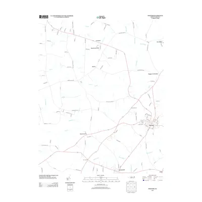
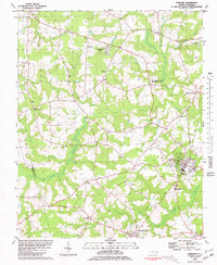 1980 Pinetops1981 Print · USGSEdgecombe County was a landscape of established rail towns and rural church communities in the late 1970s. Trace family roots and local history through landmarks like Temperance Hall, the streets of Pinetops, and centers of worship such as Morning Star Ch.
 - 1981 Map of Fountain, 1982 Print
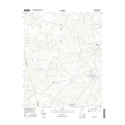
 1981 Fountain1982 Print · USGSCoastal plain agriculture and small-town life in the early eighties center on the rural crossroads of Pitt and Edgecombe counties. Trace the roots of local communities at Piney Grove Sch, an Old Railroad Grade, and Webbtown Ch.
 - 1985 Map of Rocky Mount
 1985 Rocky Mount1985 Print · USGSThe eastern North Carolina coastal plain in the mid-eighties shows a landscape defined by its river-and-rail heritage. Genealogists and local historians can trace the development of Rocky Mount, Greenville, and Wilson, or locate landmarks like East Carolina University and the Voice of America site.2 unique versions available
 - 1997 Map of Pinetops, 2001 Print
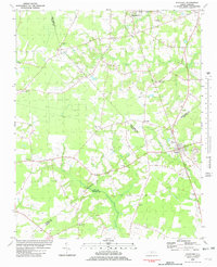
 1997 Pinetops2001 Print · USGSEdgecombe County at the close of the twentieth century shows a landscape of established crossroads and rural parishes. Genealogists can trace family footprints through numerous cemeteries and local landmarks like Temperance Hall, Morning Star Ch, and the town of Pinetops.
 - 2010 Map of Fountain, 2010 Print
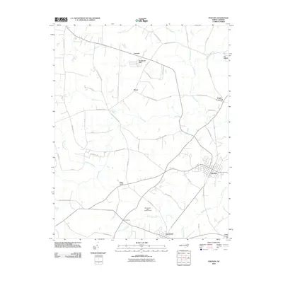
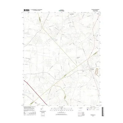
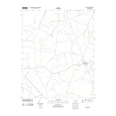 2010 Fountain2010 Print · USGSCovers Macclesfield, including Fountain, Turnage, and other nearby areas
 - 2010 Map of Pinetops, 2010 Print
 2010 Pinetops2010 Print · USGSCovers Macclesfield, including Pinetops, Lancaster, and other nearby areas
 - 2013 Map of Pinetops, 2013 Print
 2013 Pinetops2013 Print · USGSCovers Macclesfield, including Pinetops, Lancaster, and other nearby areas
 - 2013 Map of Fountain, 2013 Print
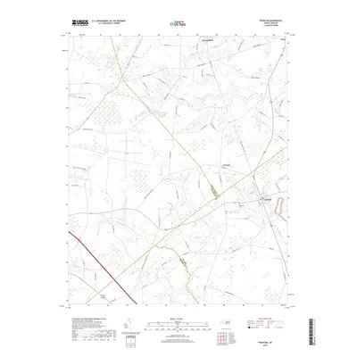
 2013 Fountain2013 Print · USGSCovers Macclesfield, including Fountain, Turnage, and other nearby areas
 - 2016 Map of Pinetops, 2016 Print
 2016 Pinetops2016 Print · USGSCovers Macclesfield, including Pinetops, Lancaster, and other nearby areas
 - 2016 Map of Fountain, 2016 Print
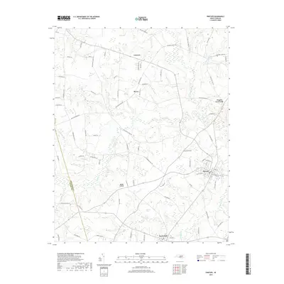
 2016 Fountain2016 Print · USGSCovers Macclesfield, including Fountain, Turnage, and other nearby areas
 - 2019 Map of Fountain, 2019 Print
 2019 Fountain2019 Print · USGSCovers Macclesfield, including Fountain, Turnage, and other nearby areas
 - 2019 Map of Pinetops, 2019 Print
 2019 Pinetops2019 Print · USGSCovers Macclesfield, including Pinetops, Lancaster, and other nearby areas
 - 2022 Map of Pinetops, 2022 Print
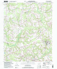
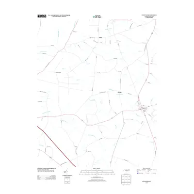
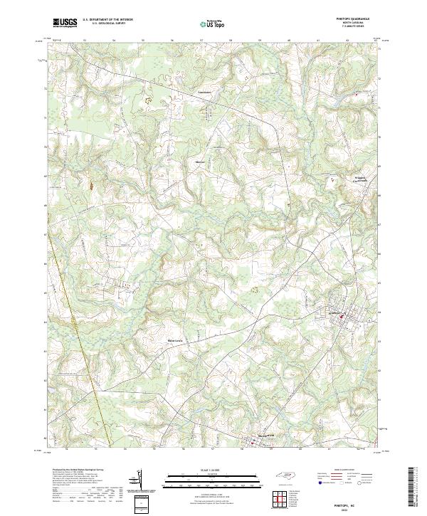 2022 Pinetops2022 Print · USGSEdgecombe County farmland and small-town centers appear in detail as they were at the start of the 2020s. Genealogists can trace family tracts and local landmarks near Saint Lewis, Wiggins Crossroads, and the milling sites along Bynums Mill Run.
 - 2022 Map of Fountain, 2022 Print
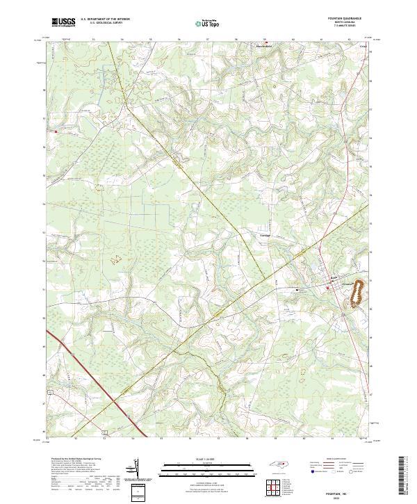 2022 Fountain2022 Print · USGSThe rural borderlands of Pitt and Edgecombe counties are mapped here in the early twenty-first century as a landscape of agricultural crossroads and mill runs. Genealogists can locate family sites near Queen Anne Cem or trace the early paths of Macclesfield and Fountain.
End of results
Showing maps 1-19 of 19
Top cities near Macclesfield
- Greenville historical maps
- Rocky Mount historical maps
- Wilson historical maps
- Tarboro historical maps
- Farmville historical maps
- Sharpsburg historical maps
See more
Frequently asked questions
- What are the different types of historical maps available for Macclesfield?
- What is the oldest map of Macclesfield?
- Where can I purchase historical maps of Macclesfield for my home or office?
- Where can I download high-res historical maps of Macclesfield?
- Are there historical topographic maps available for Macclesfield?
- Is there historical aerial imagery available for Macclesfield?
- Where are historical maps of Macclesfield sourced from?