Old Maps of Belmont, North Carolina
Explore 26 old maps of Belmont, spanning from 1914 to today. These high-resolution historic maps reveal how streets, neighborhoods, landmarks, and natural features evolved over time — perfect for genealogy, metal detecting, research, and local history exploration.
What you can do with these maps:
- See how Belmont changed over time: Compare historical maps to modern-day views to trace roads, homesites, rail lines & more.
- View detailed metadata: Each map includes creators, publishers, year, scale, and archive source.
- Overlay maps with satellite & LiDAR: Visualize the past alongside modern tools to explore terrain & human change.
- Trusted historical sources: Maps sourced from the USGS, Library of Congress, and other archives.
- Access maps your way: View online, download high-res files, or order prints for personal or research use.
Start exploring old maps of Belmont to uncover forgotten places, hidden landmarks, and the deep history beneath your feet.
Belmont, NC maps
(26)- 1914 Map of Gastonia
 1914 Gastonia1914 Print · USGSGaston and Lincoln counties are captured here just before the First World War, when the textile industry and rail lines shaped every community. Researchers can locate long-standing landmarks like Loray Mills, Belmont Abby, and the old County House near Dallas.2 unique versions available
 - 1916 Map of Gastonia
 1916 Gastonia1916 Print · USGSGaston and Lincoln counties are captured here just as the textile industry was transforming the Piedmont landscape. Trace the rail-and-river economy through landmarks like the Loray Mill, the Rehoboth Furnace, and the early village of McAdenville.2 unique versions available
 - 1947 Map of Clover, 1956 Print
 1947 Clover1956 Print · USGSThe Carolina Piedmont at the dawn of the postwar era shows a landscape of textile mills and rural farmsteads along the rising waters of the Catawba. Local historians can trace the foundations of the region through landmarks like the State Textile Sch, Boogertown, and the Buster Boyd Bridge.2 unique versions available
 - 1949 Map of Clover
 1949 Clover1949 Print · USGSThe Carolinas' borderlands come alive in the late 1940s as the textile and rail economy centers around Lake Wylie. Researchers can trace old family roots at China Grove Ch, locate the vanished Shiny Eye Sch, or follow the Southern Ry through Belmont and Clover.
 - 1953 Map of Charlotte, 1968 Print
 1953 Charlotte1968 Print · USGSThe North Carolina Piedmont and South Carolina borderlands are shown in detail during a period of significant growth and reservoir development. Trace the rail corridors of the Southern Railway or find family roots in towns like China Grove, Misenheimer, and Lincolnton.3 unique versions available
 - 1954 Map of Charlotte
 1954 Charlotte1954 Print · USGSThe North Carolina Piedmont in the mid-1950s shows a region of rapid growth and industrial expansion centered around Charlotte. Trace the era's infrastructure through the Southern railroad lines and locate significant landmarks like the Charlotte Naval Ammunition Depot and Lake Norman.2 unique versions available
 - 1960 Map of Charlotte
 1960 Charlotte1960 Print · USGSMid-century North Carolina and South Carolina meet in this 1960 survey of the Piedmont's industrial and textile heartland. Trace the growth of Charlotte alongside historic landmarks like Kings Mountain National Military Park and the Charlotte Naval Ammunition Depot.2 unique versions available
 - 1962 Map of Charlotte
 1962 Charlotte1962 Print · USGSThe North Carolina Piedmont in the early sixties showcases a landscape transformed by massive reservoirs and industrial growth. Researchers can trace the development of Lake Norman, locate the Charlotte Naval Ammunition Depot, or find family landmarks like Wesley Chapel and Brown & Norcott Mills.
 - 1970 Map of Mount Holly, 1972 Print
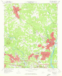 1970 Mount Holly1972 Print · USGSGaston County’s textile and rail corridor thrives in the early seventies, centered on the Catawba River and the bustling hub of Mount Holly. Genealogists can trace family landmarks like Hillcrest Cem and Belmont Abbey College or follow the path of the Seaboard Coast Line.
 - 1973 Map of Belmont, 1976 Print
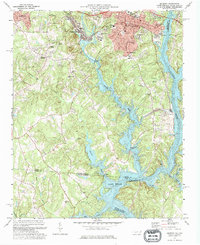 1973 Belmont1976 Print · USGSThe industrial corridor of Gaston County comes to life in the early seventies, showing the textile centers and river life at the South Carolina border. Trace family roots at Bethesda Ch or Smith Cem, and locate landmarks like Sacred Heart College.
 - 1976 Map of Belmont, 1978 Print
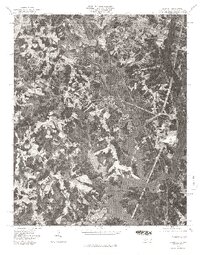 1976 Belmont1978 Print · USGSGaston County enters the late seventies with its textile towns expanding toward the water. Trace the shoreline of Lake Wylie and identify early suburban growth patterns near Belmont, Cramerton, and Elmore Crossroads.
 - 1986 Map of Gastonia
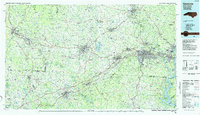 1986 Gastonia1986 Print · USGSThe Carolina Piedmont in the mid-eighties shows a landscape shaped by Revolutionary War history and the textile industry. Trace the footprints of early battles at Kings Mountain National Military Park and locate depots along the Southern Railway in Shelby and Gastonia.
 - 1991 Map of Gastonia
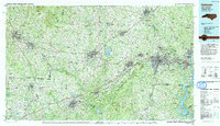 1991 Gastonia1991 Print · USGSThe Piedmont region along the North Carolina and South Carolina border shows a bustling industrial and transit corridor in the early nineties. Researchers can trace the sprawling footprints of Gastonia and Shelby or explore the grounds of Kings Mountain National Military Park and Lake Wylie.
 - 1993 Map of Mount Holly, 1996 Print
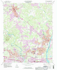 1993 Mount Holly1996 Print · USGSGaston County communities thrived along the river forks during the mid-nineties as suburban growth met long-standing textile and academic centers. Researchers can trace family roots at Mauney Cem, explore the campus of Belmont Abbey College, or locate the mills and works of McAdenville.
 - 1993 Map of Belmont, 1996 Print
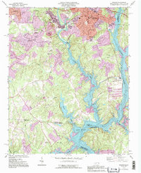 1993 Belmont1996 Print · USGSThe Gaston County textile belt and the waters of the Catawba River are captured here in the early nineties. Researchers can find deep local roots at Sacred Heart College, Elmores Crossroads, and the many family-named cemeteries like Smith Cem.
 - 1997 Map of Belmont, 1999 Print
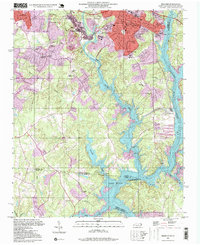 1997 Belmont1999 Print · USGSGaston and Mecklenburg counties are captured here in the late nineties as the river towns of Belmont and Cramerton expanded. Researchers can trace local heritage through numerous sites like Sacred Heart College, Elmores Crossroads, and the Mill Creek Cem.
 - 2010 Map of Mount Holly, 2010 Print
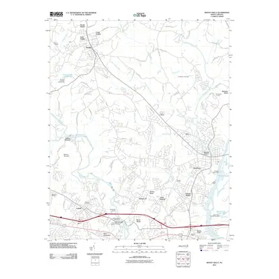 2010 Mount Holly2010 Print · USGSThe industrial corridor along the Catawba River and South Fork is captured here at the start of the 2010s. Researchers can locate family sites and landmarks like Mauney Cemetery, the heights of Spencer Mountain, and the historic streets of McAdenville and Stanley.
 - 2011 Map of Belmont, 2011 Print
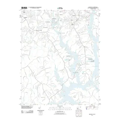 2011 Belmont2011 Print · USGSThe Piedmont region along the Carolina border comes into focus in the early 2000s as suburban growth meets the waters of Lake Wylie. Genealogists and local historians can trace old landmarks like Armstrongs Ford, Mill Creek Cemetery, and the community at Cramerton.
 - 2013 Map of Belmont, 2013 Print
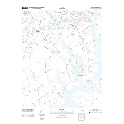 2013 Belmont2013 Print · USGSGaston and Mecklenburg counties are shown in this contemporary study of the river-bend communities near Charlotte. Genealogists and local historians can trace the developments of Cramerton, Belmont, and Paradise Point along the banks of the S Fork Catawba River.
 - 2013 Map of Mount Holly, 2013 Print
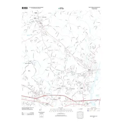 2013 Mount Holly2013 Print · USGSThe river corridors west of Charlotte come into sharp focus in the early twenty-first century as industrial roots meet suburban expansion. Genealogists and historians can trace family-named areas like Goshen Grove and Brown Town or the rail lines of the Piedmont and Northern Railway.
 - 2016 Map of Mount Holly, 2016 Print
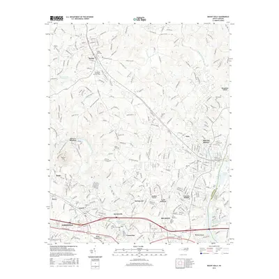 2016 Mount Holly2016 Print · USGSGaston and Mecklenburg counties are captured here in the mid-2010s, showing the dense network of river towns along the Catawba. Researchers can locate numerous historic burying grounds like Berea Church Cem and the sprawling campus of Belmont Abbey Coll.
 - 2016 Map of Belmont, 2016 Print
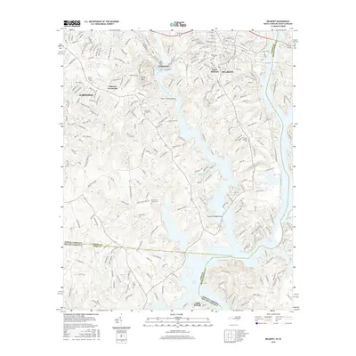 2016 Belmont2016 Print · USGSBelmont and the South Fork Catawba River are shown in detail as they appeared during the mid-2010s expansion. Researchers can find several family and parish burial grounds like Greenwood Cem, New Hope Church Cem, and the crossroads at Elmores Crossroads.
 - 2019 Map of Belmont, 2019 Print
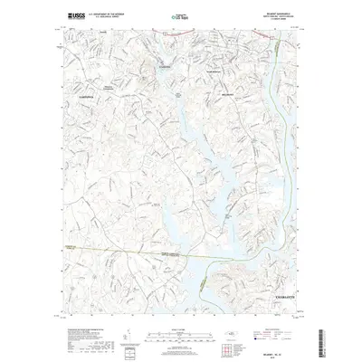 2019 Belmont2019 Print · USGSThe riverfront communities of Gaston and Mecklenburg counties are captured here at a moment of significant suburban expansion in the late 2010s. Genealogists can trace several local burial sites like Greenwood Cem and Mill Creek Cem near Cramerton.
 - 2019 Map of Mount Holly, 2019 Print
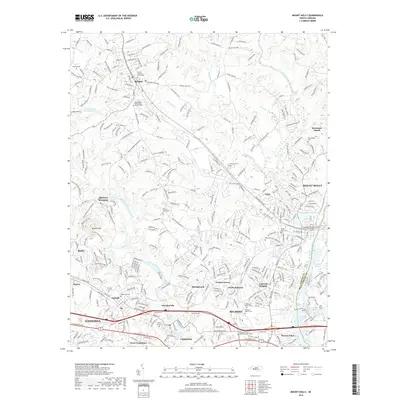 2019 Mount Holly2019 Print · USGSGaston and Mecklenburg counties are captured here in the late 2010s, showcasing the river-driven growth of the Charlotte metro area. Researchers can locate numerous family burial sites like Hickory Grove Cem and traces of rail history along the P & N Ry.
 - 2022 Map of Mount Holly, 2022 Print
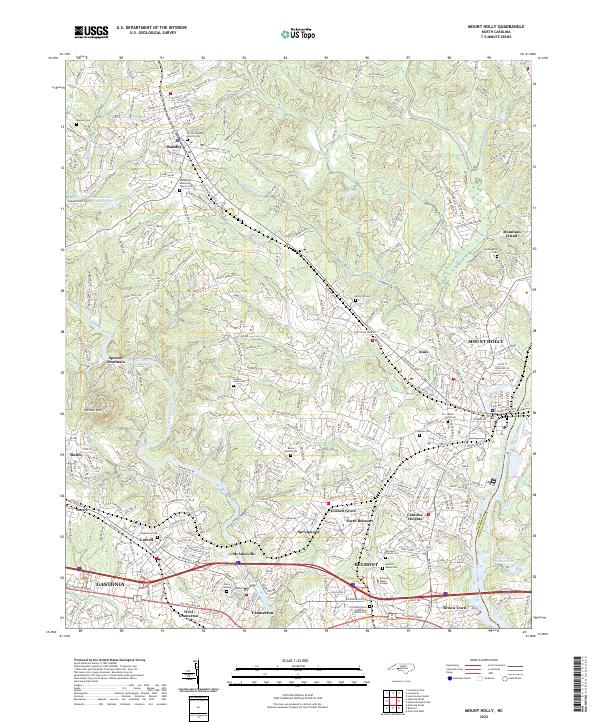 2022 Mount Holly2022 Print · USGSThe Gaston County textile corridor is captured here in the early 2020s, showcasing the river-driven development of McAdenville and Mount Holly. Researchers can locate family landmarks like Mauney Cem and explore the historic grounds of Belmont Abbey College.
Showing maps 1-25 of 26
Top cities near Belmont
- Charlotte historical maps
- Rock Hill historical maps
- Gastonia historical maps
- Huntersville historical maps
- Fort Mill historical maps
- Indian Land historical maps
See more
Top neighborhoods of Belmont
Frequently asked questions
- What are the different types of historical maps available for Belmont?
- What is the oldest map of Belmont?
- Where can I purchase historical maps of Belmont for my home or office?
- Where can I download high-res historical maps of Belmont?
- Are there historical topographic maps available for Belmont?
- Is there historical aerial imagery available for Belmont?
- Where are historical maps of Belmont sourced from?