Old Maps of Eden Glen, Dallas
Explore 16 old maps of Eden Glen, spanning from 1914 to today. These high-resolution historic maps reveal how streets, neighborhoods, landmarks, and natural features evolved over time — perfect for genealogy, metal detecting, research, and local history exploration.
What you can do with these maps:
- See how Eden Glen changed over time: Compare historical maps to modern-day views to trace roads, homesites, rail lines & more.
- View detailed metadata: Each map includes creators, publishers, year, scale, and archive source.
- Overlay maps with satellite & LiDAR: Visualize the past alongside modern tools to explore terrain & human change.
- Trusted historical sources: Maps sourced from the USGS, Library of Congress, and other archives.
- Access maps your way: View online, download high-res files, or order prints for personal or research use.
Start exploring old maps of Eden Glen to uncover forgotten places, hidden landmarks, and the deep history beneath your feet.
Eden Glen, Dallas maps
(16)- 1914 Map of Gastonia
 1914 Gastonia1914 Print · USGSGaston and Lincoln counties are captured here just before the First World War, when the textile industry and rail lines shaped every community. Researchers can locate long-standing landmarks like Loray Mills, Belmont Abby, and the old County House near Dallas.2 unique versions available
 - 1916 Map of Gastonia
 1916 Gastonia1916 Print · USGSGaston and Lincoln counties are captured here just as the textile industry was transforming the Piedmont landscape. Trace the rail-and-river economy through landmarks like the Loray Mill, the Rehoboth Furnace, and the early village of McAdenville.2 unique versions available
 - 1953 Map of Charlotte, 1968 Print
 1953 Charlotte1968 Print · USGSThe North Carolina Piedmont and South Carolina borderlands are shown in detail during a period of significant growth and reservoir development. Trace the rail corridors of the Southern Railway or find family roots in towns like China Grove, Misenheimer, and Lincolnton.3 unique versions available
 - 1954 Map of Charlotte
 1954 Charlotte1954 Print · USGSThe North Carolina Piedmont in the mid-1950s shows a region of rapid growth and industrial expansion centered around Charlotte. Trace the era's infrastructure through the Southern railroad lines and locate significant landmarks like the Charlotte Naval Ammunition Depot and Lake Norman.2 unique versions available
 - 1960 Map of Charlotte
 1960 Charlotte1960 Print · USGSMid-century North Carolina and South Carolina meet in this 1960 survey of the Piedmont's industrial and textile heartland. Trace the growth of Charlotte alongside historic landmarks like Kings Mountain National Military Park and the Charlotte Naval Ammunition Depot.2 unique versions available
 - 1962 Map of Charlotte
 1962 Charlotte1962 Print · USGSThe North Carolina Piedmont in the early sixties showcases a landscape transformed by massive reservoirs and industrial growth. Researchers can trace the development of Lake Norman, locate the Charlotte Naval Ammunition Depot, or find family landmarks like Wesley Chapel and Brown & Norcott Mills.
 - 1970 Map of Gastonia North, 1972 Print
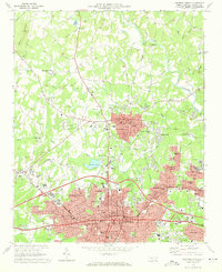 1970 Gastonia North1972 Print · USGSGaston County enters a period of significant suburban growth in the early seventies, centered on the expansion of Gastonia and Dallas. Researchers can trace local genealogy at Hollywood Cem or locate vanished landmarks like the Ashley High Sch and the original Gaston Memorial Hospital.
 - 1986 Map of Gastonia
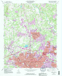
 1986 Gastonia1986 Print · USGSThe Carolina Piedmont in the mid-eighties shows a landscape shaped by Revolutionary War history and the textile industry. Trace the footprints of early battles at Kings Mountain National Military Park and locate depots along the Southern Railway in Shelby and Gastonia.
 - 1991 Map of Gastonia
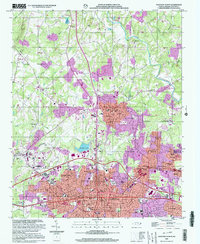
 1991 Gastonia1991 Print · USGSThe Piedmont region along the North Carolina and South Carolina border shows a bustling industrial and transit corridor in the early nineties. Researchers can trace the sprawling footprints of Gastonia and Shelby or explore the grounds of Kings Mountain National Military Park and Lake Wylie.
 - 1993 Map of Gastonia North, 1996 Print
 1993 Gastonia North1996 Print · USGSGaston County enters a phase of modern expansion in the 1990s as the suburbs of Gastonia reach toward Dallas and Ranlo. Researchers can locate civic landmarks like the Schiele Museum and family plots in Hollywood Cem.
 - 2002 Map of Gastonia North, 2003 Print
 2002 Gastonia North2003 Print · USGSGaston County at the turn of the twenty-first century reveals a landscape of rapid urban growth and deep-rooted community landmarks. Genealogists and historians can trace family ties at Hollywood Cemetery and Antioch Church, or explore the civic core near the Schiele Museum.
 - 2010 Map of Gastonia North, 2010 Print
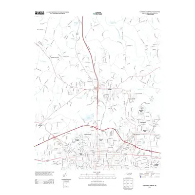
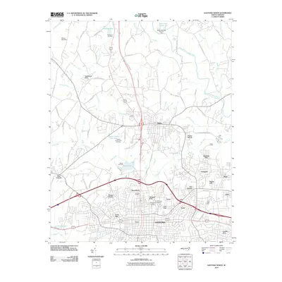 2010 Gastonia North2010 Print · USGSCovers Eden Glen, including Gastonia, Dallas, and other nearby areas
 - 2013 Map of Gastonia North, 2013 Print
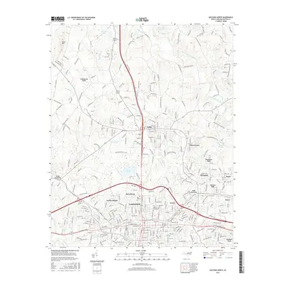
 2013 Gastonia North2013 Print · USGSCovers Eden Glen, including Gastonia, Dallas, and other nearby areas
 - 2016 Map of Gastonia North, 2016 Print
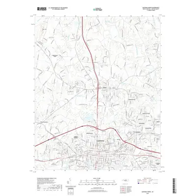
 2016 Gastonia North2016 Print · USGSCovers Eden Glen, including Gastonia, Dallas, and other nearby areas
 - 2019 Map of Gastonia North, 2019 Print
 2019 Gastonia North2019 Print · USGSCovers Eden Glen, including Gastonia, Dallas, and other nearby areas
 - 2022 Map of Gastonia North, 2022 Print
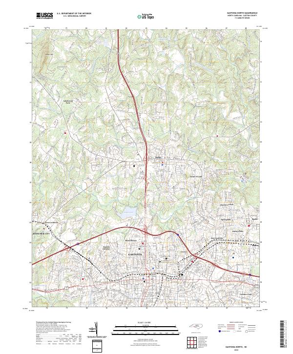 2022 Gastonia North2022 Print · USGSGaston County is shown in detail during its modern period of growth and suburban expansion. Researchers can trace family history through numerous local sites including Rose Hill Cem, Philadelphia Church, and the Gaston County Courthouse.
End of results
Showing maps 1-16 of 16
Frequently asked questions
- What are the different types of historical maps available for Eden Glen?
- What is the oldest map of Eden Glen?
- Where can I purchase historical maps of Eden Glen for my home or office?
- Where can I download high-res historical maps of Eden Glen?
- Are there historical topographic maps available for Eden Glen?
- Is there historical aerial imagery available for Eden Glen?
- Where are historical maps of Eden Glen sourced from?