Old Maps of Dentons, North Carolina for Academic Research
Study the evolution of Dentons with 13 high-resolution historic maps. Whether you're teaching, researching, or modeling changes in land use, these maps provide essential visual documentation of urban, environmental, and geographic change.
- Analyze long-term change: Track patterns in development, transportation, and natural features.
- Ideal for environmental or urban studies: Support academic projects with primary historical map data.
- Use in the classroom or lab: Educators and researchers rely on these maps to bring historical context to life.
These maps are a powerful tool for teaching, research, and visualizing how Dentons has changed over the decades.
Dentons, NC maps
(13)- 1935 Map of Santeetlah Creek
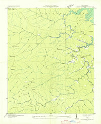 1935 Santeetlah Creek1935 Print · USGSGraham County's mountain landscape is captured here in the mid-1930s, showing a world of remote ridges and creeks within the Nantahala National Forest. Genealogists can locate community cornerstones like Cedar Cliff Ch, Snowbird Sch, and the Cherokee Lodge (Abandoned).
 - 1940 Map of Santeetlah Creek
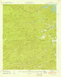 1940 Santeetlah Creek1940 Print · USGSGraham County's wilderness is shown here in the 1940s, just as the landscape was being defined by federal forests and the waters of Santeetlah Lake. Researchers can locate family landmarks like John Teeseteska or trace the early paths to Mt Nebo Ch and Snowbird Sch.6 unique versions available
 - 1955 Map of Knoxville
 1955 Knoxville1955 Print · USGSThe Southern Appalachians and the Smoky Mountains are shown here at a peak of mid-century development and conservation. Genealogists and historians can trace the early road networks connecting Gatlinburg, Waynesville, and the Cherokee Indian Reservation across the high ridges.
 - 1957 Map of Knoxville, 1966 Print
 1957 Knoxville1966 Print · USGSThe Southern Appalachians of Tennessee and North Carolina are mapped here during the mid-twentieth century as new highways reached the high country. Genealogists and historians can trace the topography between Knoxville and Asheville, locating family landmarks near Fontana Lake or along the Blue Ridge Parkway.4 unique versions available
 - 1960 Map of Knoxville
 1960 Knoxville1960 Print · USGSThe Southern Appalachians come alive in the 1950s, showing the intersection of new national park tourism and deep-rooted mountain industry. Trace old rail lines like the Clinchfield RR and find high-altitude landmarks from Mt Le Conte to the Cherokee Indian Reservation.2 unique versions available
 - 1964 Map of Knoxville
 1964 Knoxville1964 Print · USGSThe Southern Appalachians and Great Smokies are captured here during the mid-sixties, showing the rugged borderlands of Tennessee and North Carolina. Researchers can trace historic mountain routes like U S 441, the expanse of Pisgah National Forest, and the growing footprints of Asheville and Knoxville.
 - 1976 Map of Santeetlah Creek, 1978 Print
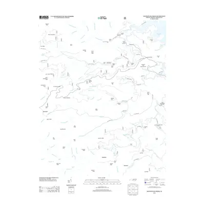
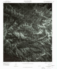 1976 Santeetlah Creek1978 Print · USGSGraham County in the mid-1970s is seen here in high-resolution photographic detail, capturing the dense forests and remote settlements of the southern Appalachians. Researchers can trace the banks of Santeetlah Creek and find the small community of Dentons nestled in the Snowbird Mountains.
 - 1983 Map of Fontana Lake
 1983 Fontana Lake1983 Print · USGSWestern North Carolina's high peaks and reservoir-carved valleys are documented here during the early eighties. Genealogists and local historians can trace the mountain communities of Bryson City and Franklin or explore the boundaries of the Qualla Boundary.2 unique versions available
 - 2011 Map of Santeetlah Creek, 2011 Print
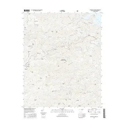
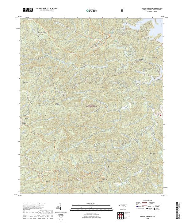
 2011 Santeetlah Creek2011 Print · USGSCovers Dentons, including Junction, Snowbird Community, and other nearby areas
 - 2013 Map of Santeetlah Creek, 2013 Print
 2013 Santeetlah Creek2013 Print · USGSCovers Dentons, including Junction, Snowbird Community, and other nearby areas
 - 2016 Map of Santeetlah Creek, 2016 Print
 2016 Santeetlah Creek2016 Print · USGSCovers Dentons, including Junction, Snowbird Community, and other nearby areas
 - 2019 Map of Santeetlah Creek, 2019 Print
 2019 Santeetlah Creek2019 Print · USGSCovers Dentons, including Junction, Snowbird Community, and other nearby areas
 - 2022 Map of Santeetlah Creek, 2022 Print
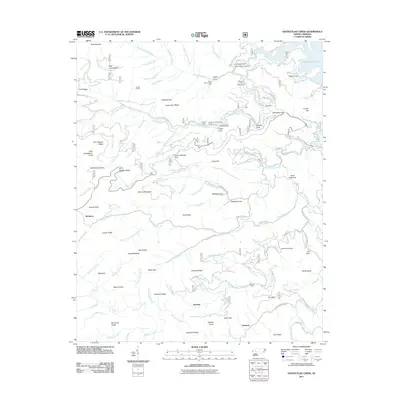
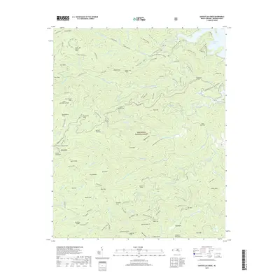
 2022 Santeetlah Creek2022 Print · USGSGraham County's high ridges are shown in detail during the early 2020s, highlighting the remote settlements and dense trail networks of the western North Carolina mountains. Trace local history through family-named landmarks like McGuires Cabin, Patrick Meadows, and the small community of Dentons.
End of results
Showing maps 1-13 of 13
Top cities near Dentons
- Andrews historical maps
- Murphy historical maps
- Robbinsville historical maps
- Hayesville historical maps
- Lake Santeetlah historical maps
- Fontana Dam historical maps
Frequently asked questions
- What are the different types of historical maps available for Dentons?
- What is the oldest map of Dentons?
- Where can I purchase historical maps of Dentons for my home or office?
- Where can I download high-res historical maps of Dentons?
- Are there historical topographic maps available for Dentons?
- Is there historical aerial imagery available for Dentons?
- Where are historical maps of Dentons sourced from?