Old Maps of Florence, High Point for Genealogy
Trace your family roots with 13 historic maps of Florence. These high-res maps reveal old neighborhoods, homesites, landmarks, and streets — helping you uncover where your ancestors lived and how the area evolved over time.
- Explore historic neighborhoods: Identify where your relatives may have lived in the 1800s or 1900s.
- Compare maps over time: Trace the changes in streets, buildings, and landmarks for multi-generational research.
- Perfect for genealogy & ancestry research: Used by family historians and researchers to map out lineage and migration.
These maps are an incredible resource for exploring your personal connection to Florence's past.
Florence, High Point maps
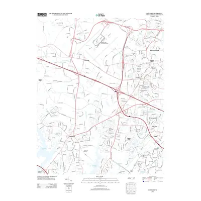
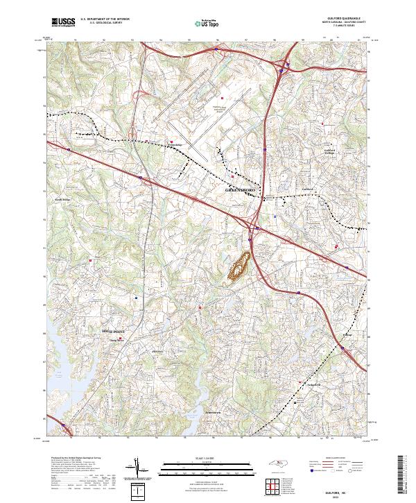
(13)- 1951 Map of Guilford, 1952 Print
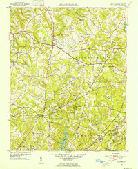 1951 Guilford1952 Print · USGSGuilford County at the start of the 1950s was a landscape defined by traditional river-milling roots and the rise of aviation. Researchers can trace the legacy of Guilford College and local family sites like Whites Mill, Sandy Ridge, and New Salem Tabernacle.5 unique versions available
 - 1953 Map of Greensboro, 1981 Print
 1953 Greensboro1981 Print · USGSThe Piedmont borderlands of North Carolina and Virginia show a landscape defined by new reservoirs and old rail lines. Trace family roots and the changing river geography through Elon College, the John H Kerr Reservoir, and South Boston.
 - 1954 Map of Greensboro
 1954 Greensboro1954 Print · USGSThe Piedmont borderlands of North Carolina and Virginia come alive in this mid-fifties study of a region defined by its rivers and rails. Researchers can trace the growing Buggs Island Lake or follow the paths of the Southern Ry and Seaboard Air Line RR through towns like Oxford and Reidsville.
 - 1962 Map of Greensboro
 1962 Greensboro1962 Print · USGSThe Piedmont region along the Virginia and North Carolina border comes alive in the early 1960s, showing a landscape defined by industry and new reservoirs. Trace the path of the Virginian RR or explore the early development of Greensboro and Durham.
 - 1966 Map of Greensboro
 1966 Greensboro1966 Print · USGSThe North Carolina and Virginia Piedmont thrives during the mid-sixties, showcasing a landscape of textile hubs and expanding river reservoirs. Researchers can trace the rail corridors of the Southern Railway, find local landmarks like Elon College, or locate the extensive Camp Butner Military Reservation.
 - 1977 Map of Guilford, 1979 Print
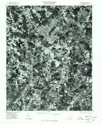 1977 Guilford1979 Print · USGSGuilford County underwent rapid transformation in the late seventies as residential neighborhoods expanded into the Piedmont countryside. Genealogists and historians can trace the precise development of Friendship, Sandy Ridge, and the Sedgefield area through this detailed aerial photography.
 - 1984 Map of Greensboro
 1984 Greensboro1984 Print · USGSThe North Carolina Piedmont in the mid-eighties shows a region of growing urban centers and vital water resources. Local historians can trace the development of Greensboro, locate the Elon College campus, or explore the grounds of Guilford Courthouse National Military Park.
 - 1997 Map of Guilford, 2001 Print
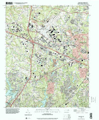 1997 Guilford2001 Print · USGSThe Greensboro and High Point periphery in the late nineties shows a landscape of rapid suburban growth and established educational roots. Genealogists and local historians can trace community landmarks like Guilford College, Raleigh Crossroads Ch, and Guilford Memorial Park.
 - 2010 Map of Guilford, 2010 Print
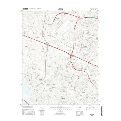
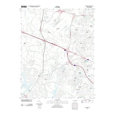 2010 Guilford2010 Print · USGSCovers Florence, including Greensboro, High Point, and other nearby areas
 - 2013 Map of Guilford, 2013 Print
 2013 Guilford2013 Print · USGSCovers Florence, including Greensboro, High Point, and other nearby areas
 - 2016 Map of Guilford, 2016 Print
 2016 Guilford2016 Print · USGSCovers Florence, including Greensboro, High Point, and other nearby areas
 - 2019 Map of Guilford, 2019 Print
 2019 Guilford2019 Print · USGSCovers Florence, including Greensboro, High Point, and other nearby areas
 - 2022 Map of Guilford, 2022 Print
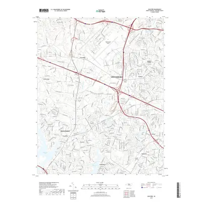
 2022 Guilford2022 Print · USGSNorth Carolina’s Piedmont region in the early 2020s shows a landscape of rapid suburban growth between Greensboro and High Point. Researchers can trace the evolution of communities like Jamestown and Friendship or locate the historic Guilford College campus.
End of results
Showing maps 1-13 of 13
Top cities near Florence
- Greensboro historical maps
- Winston-Salem historical maps
- High Point historical maps
- Thomasville historical maps
- Kernersville historical maps
- Archdale historical maps
See more
Frequently asked questions
- What are the different types of historical maps available for Florence?
- What is the oldest map of Florence?
- Where can I purchase historical maps of Florence for my home or office?
- Where can I download high-res historical maps of Florence?
- Are there historical topographic maps available for Florence?
- Is there historical aerial imagery available for Florence?
- Where are historical maps of Florence sourced from?