Old Maps of Oakdale, Jamestown for Metal Detecting
Plan your next treasure hunt with 12 historic maps of Oakdale. Find old homesites, ghost towns, trails, and gathering spots that may be lost to time — perfect for identifying promising metal detecting locations.
- Locate forgotten sites: Uncover places like long-lost settlements, abandoned rail lines, or gathering spots.
- Plan better hunts: Use map overlays combined with LiDAR or satellite views to narrow in on historically rich areas.
- Made for detectorists: Thousands of hobbyists use these maps to discover relics, coins, and hidden history.
Use these historic maps to boost your research and find new opportunities beneath the surface of Oakdale.
Oakdale, Jamestown maps
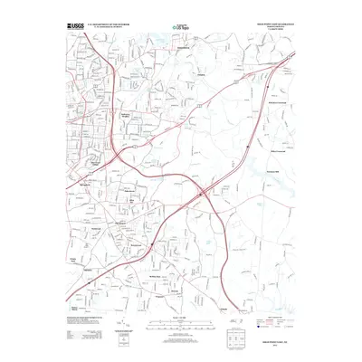
(12)- 1950 Map of High Point East, 1964 Print
 1950 High Point East1964 Print · USGSHigh Point and its surrounding townships show a mix of rapid post-war urban growth and rural heritage during the early 1950s. Genealogists and historians can trace family-named crossroads like Kirkman Crossroads or locate early institutions such as the County Sanatorium and High Point College.3 unique versions available
 - 1951 Map of High Point East
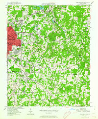
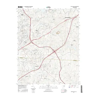
 1951 High Point East1951 Print · USGSGuilford and Randolph counties show a maturing Piedmont landscape in the early fifties, where textile-town growth meets established rural communities. Researchers can trace family sites at Green Hill Cemetery and Hickory Chapel, or locate industrial history near Freeman Mill and the Southern rail line.
 - 1953 Map of Raleigh, 1965 Print
 1953 Raleigh1965 Print · USGSCentral North Carolina in the early sixties shows a landscape of growing towns and military hubs before the full expansion of the interstate system. Genealogists can trace family footprints across the Piedmont through Wake Forest, Siler City, and the large Fort Bragg Military Reservation.4 unique versions available
 - 1954 Map of Raleigh
 1954 Raleigh1954 Print · USGSThe North Carolina Piedmont and Sandhills are captured in the mid-fifties during a period of steady regional growth. Genealogists and historians can trace the development of towns like Siler City or locate landmarks such as Falls of Neuse and Camp Mackall.
 - 1984 Map of Chapel Hill, 1985 Print
 1984 Chapel Hill1985 Print · USGSNorth Carolina’s Piedmont and the northern reaches of the Uwharrie Mountains are captured here in the mid-eighties. Genealogists can trace family roots through rural landmarks like Union Chapel or locate old rail stops along the Seaboard line.
 - 1993 Map of High Point East, 1999 Print
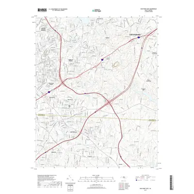
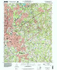 1993 High Point East1999 Print · USGSCentral North Carolina settlement and development are charted here as the suburbs of HIGH POINT reach into the surrounding countryside. Genealogists can trace family footprints through sites like Green Hill Cem, McCain Sch, and churches such as Friendly Ch.
 - 2002 Map of High Point East, 2004 Print
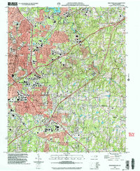 2002 High Point East2004 Print · USGSHigh Point and its surrounding suburbs were in a phase of significant modern growth at the turn of the millennium. Researchers can trace the development of High Point University and find local landmarks like Green Hill Cem, Freeman Mill, and the community of Archdale.
 - 2010 Map of High Point East, 2010 Print
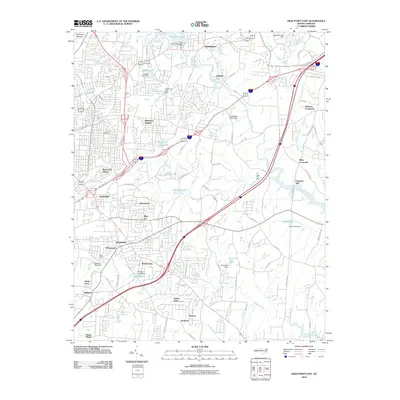 2010 High Point East2010 Print · USGSCovers Oakdale, including Greensboro, High Point, and other nearby areas
 - 2013 Map of High Point East, 2013 Print
 2013 High Point East2013 Print · USGSCovers Oakdale, including Greensboro, High Point, and other nearby areas
 - 2016 Map of High Point East, 2016 Print
 2016 High Point East2016 Print · USGSCovers Oakdale, including Greensboro, High Point, and other nearby areas
 - 2019 Map of High Point East, 2019 Print
 2019 High Point East2019 Print · USGSCovers Oakdale, including Greensboro, High Point, and other nearby areas
 - 2022 Map of High Point East, 2022 Print
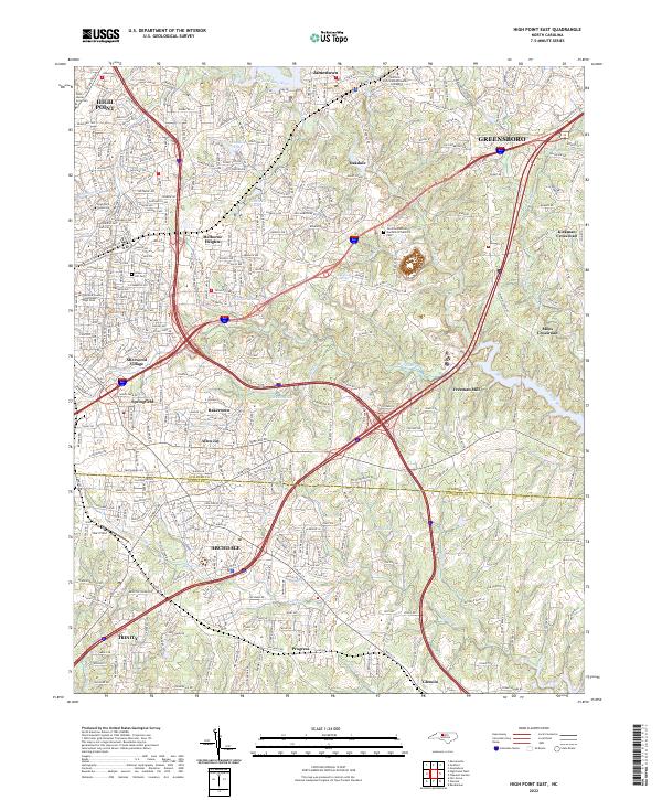 2022 High Point East2022 Print · USGSThe High Point and Greensboro suburbs come into focus in the early 2020s, showing the intersection of local industry and education. Genealogists can trace family sites at Green Hill Cem or locate the historic Freeman Mill and Hayworth Spring.
End of results
Showing maps 1-12 of 12
Top cities near Oakdale
- Greensboro historical maps
- Winston-Salem historical maps
- High Point historical maps
- Thomasville historical maps
- Asheboro historical maps
- Kernersville historical maps
See more
Frequently asked questions
- What are the different types of historical maps available for Oakdale?
- What is the oldest map of Oakdale?
- Where can I purchase historical maps of Oakdale for my home or office?
- Where can I download high-res historical maps of Oakdale?
- Are there historical topographic maps available for Oakdale?
- Is there historical aerial imagery available for Oakdale?
- Where are historical maps of Oakdale sourced from?